You are using an out of date browser. It may not display this or other websites correctly.
You should upgrade or use an alternative browser.
You should upgrade or use an alternative browser.
North Central (aka midWest) taco trails and adventures
- Thread starter JayQQ97
- Start date
JayQQ97
MW surVivor ... clutched. 367k on the 0D0
Last edited:
JayQQ97
MW surVivor ... clutched. 367k on the 0D0

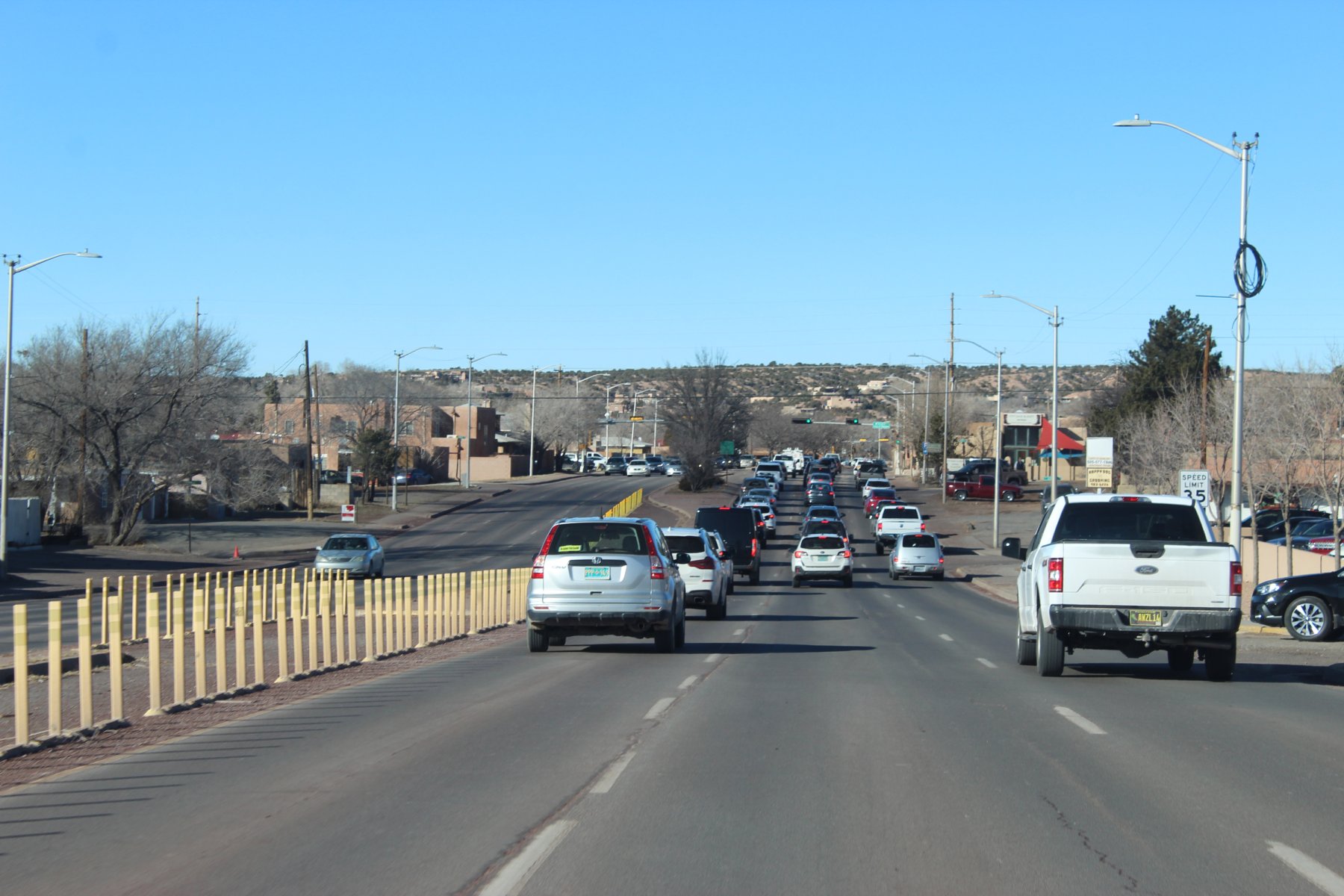
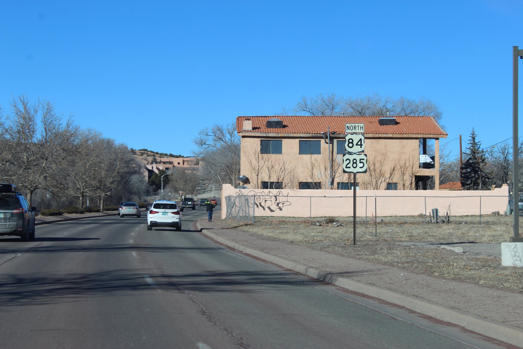
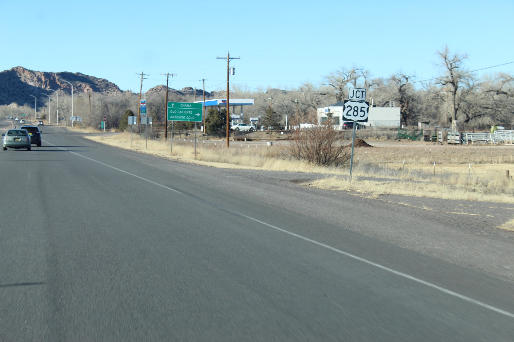
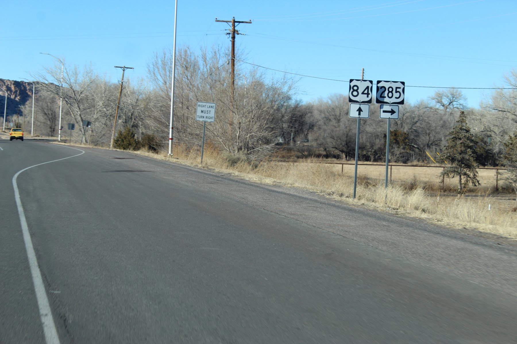
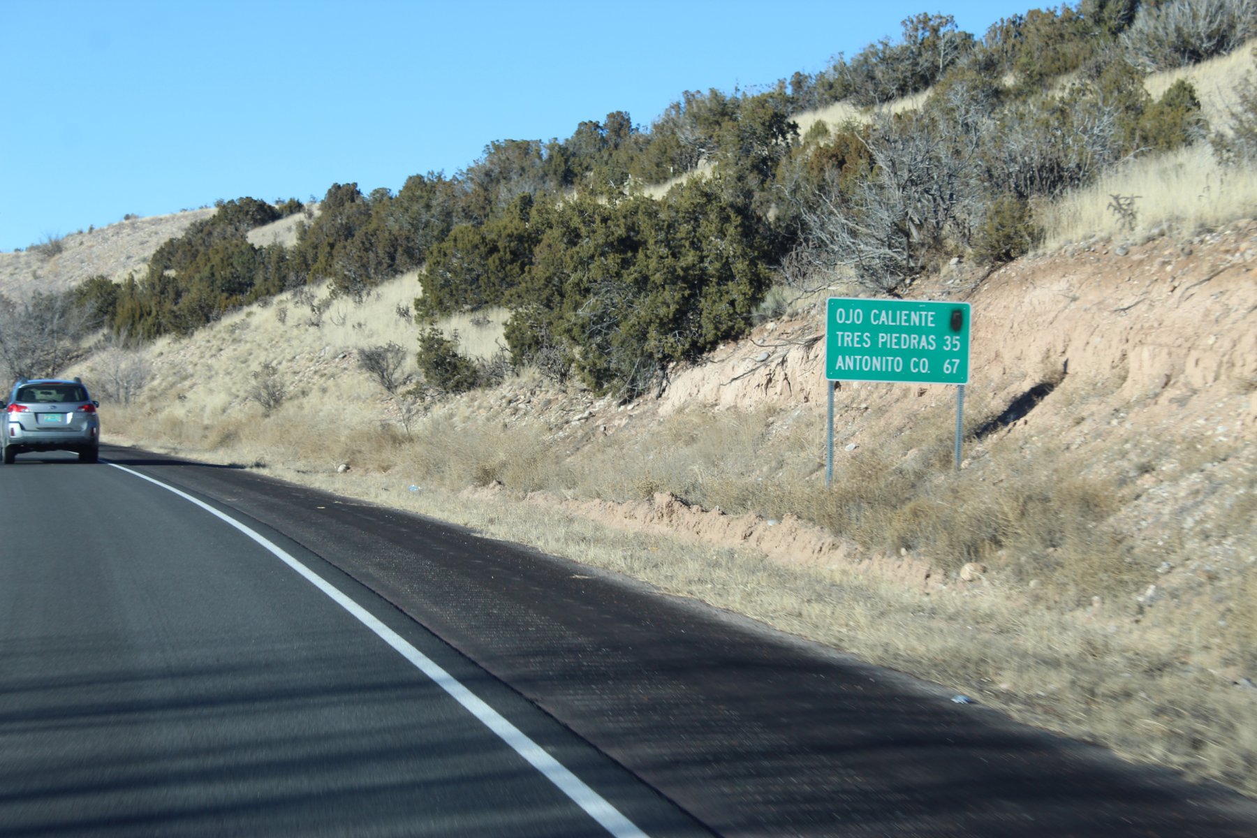
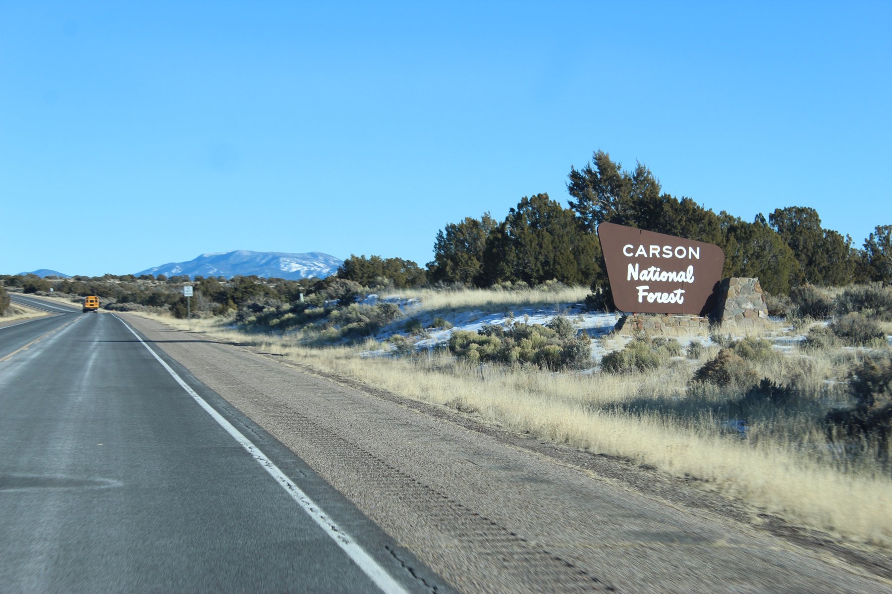
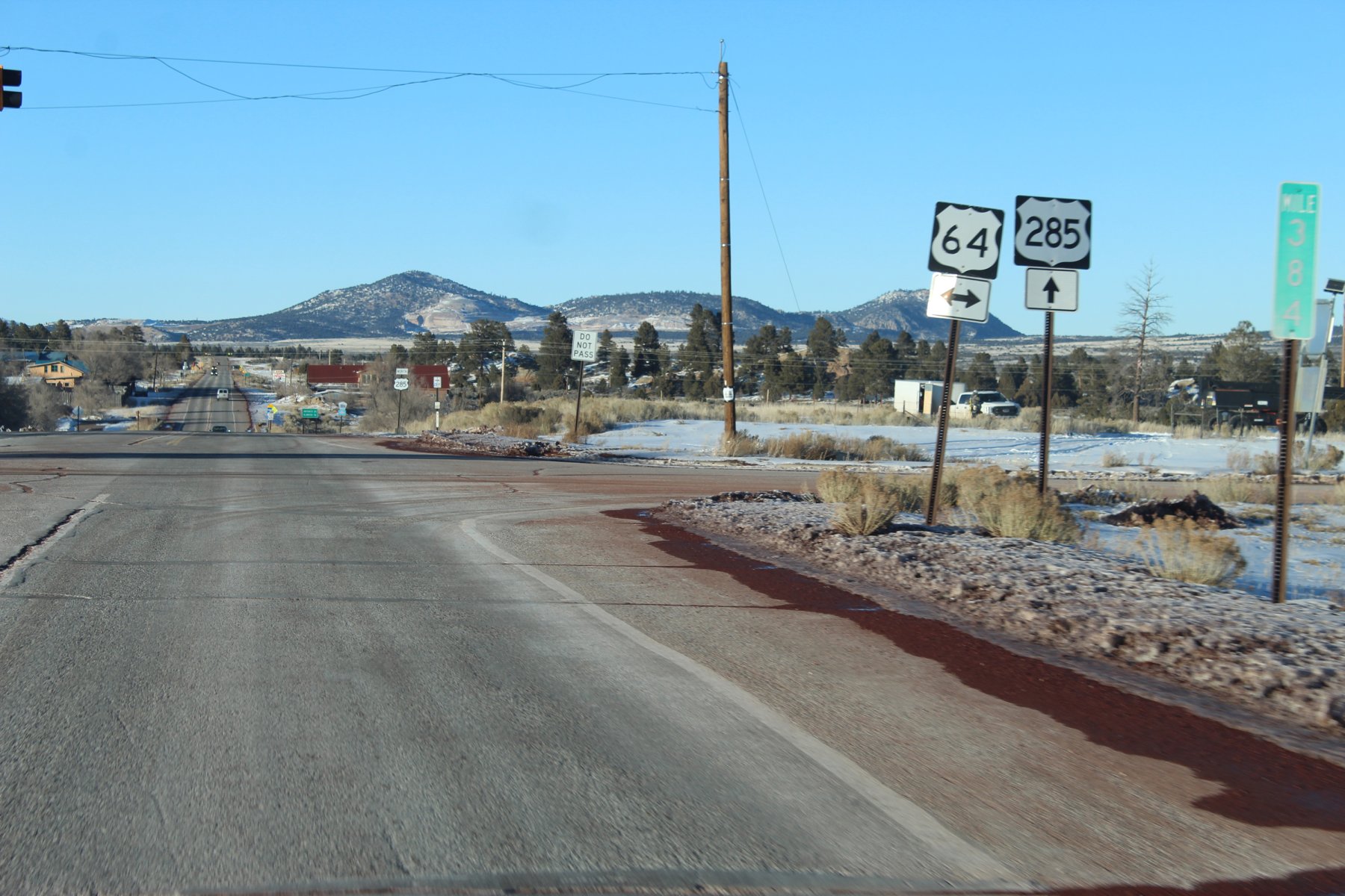
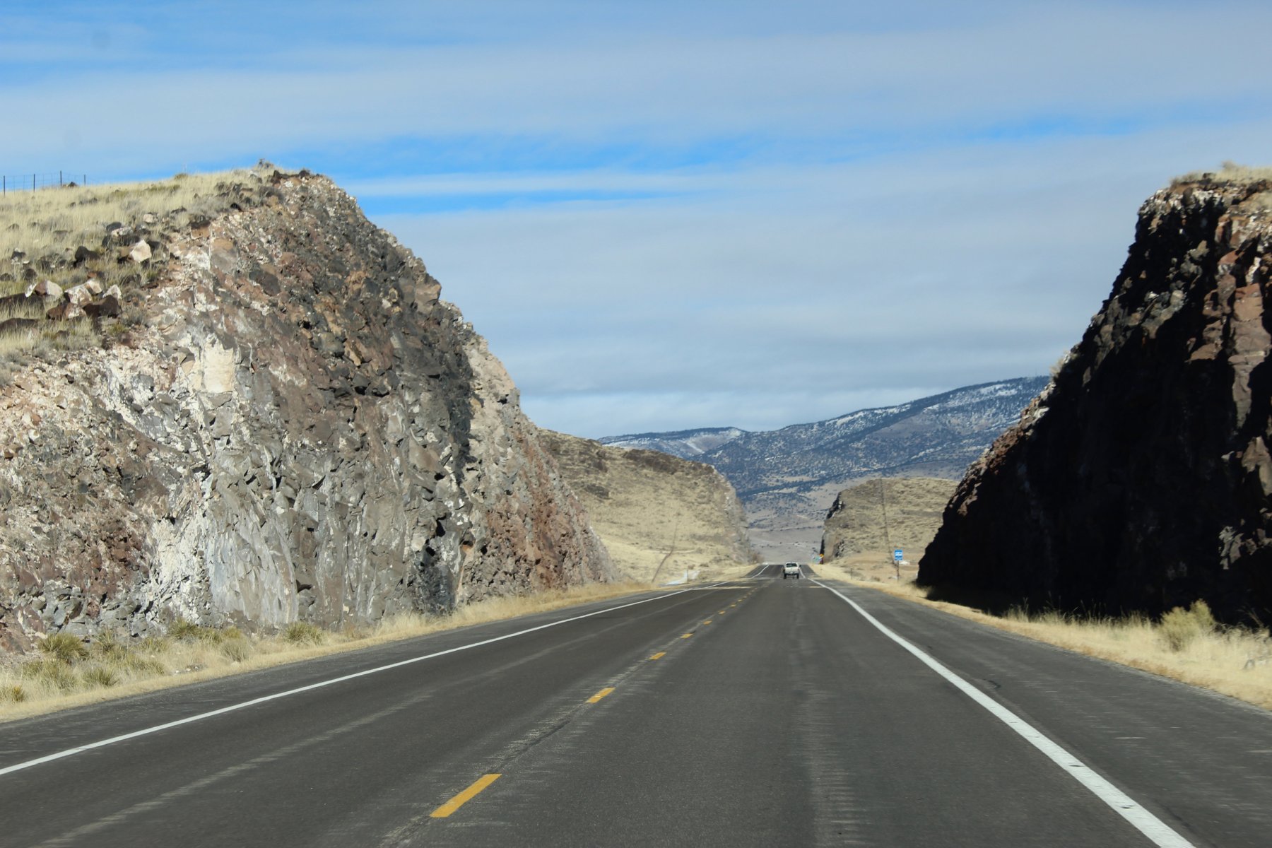
Colorado / New Mexico border crossing right here right now
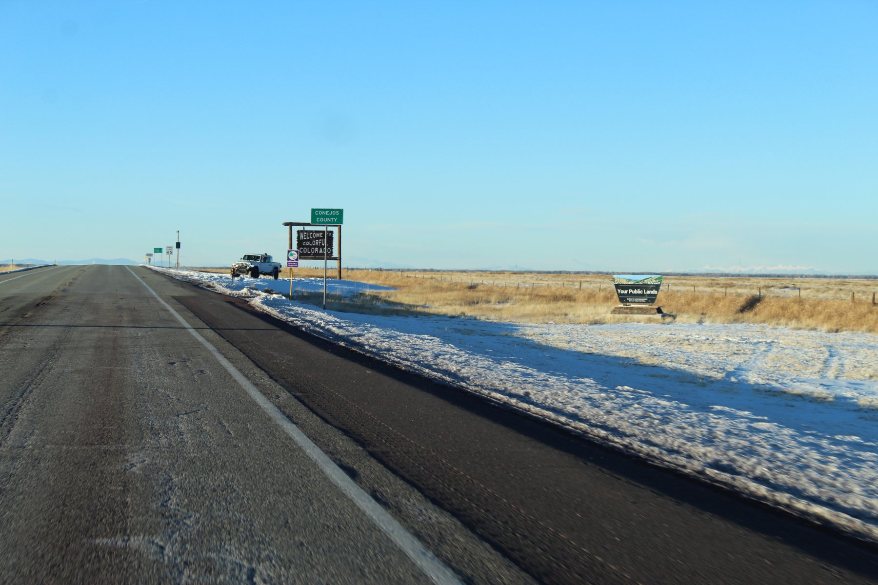
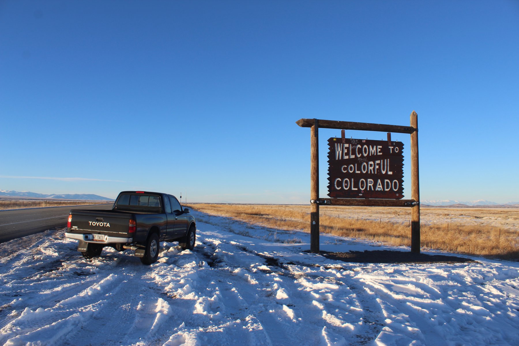
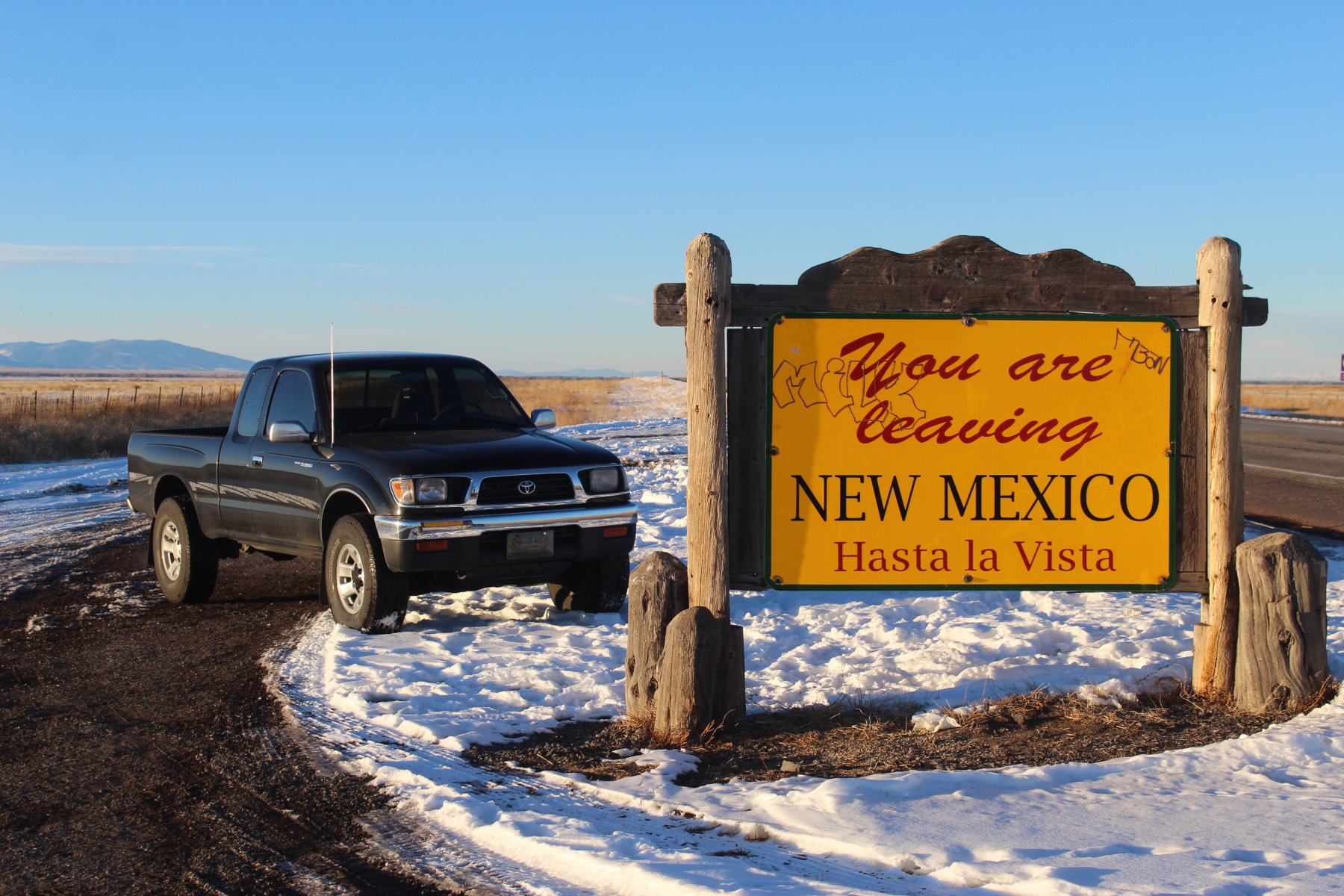
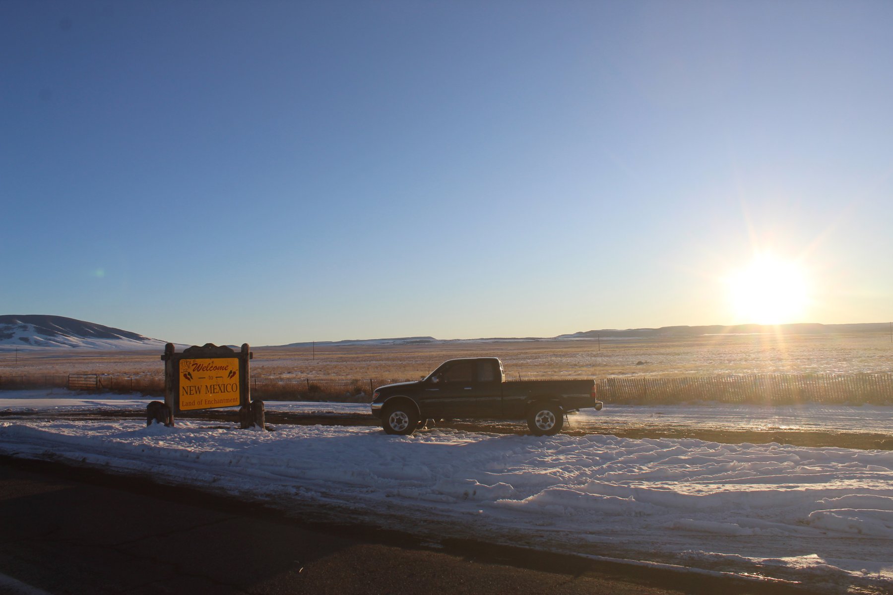
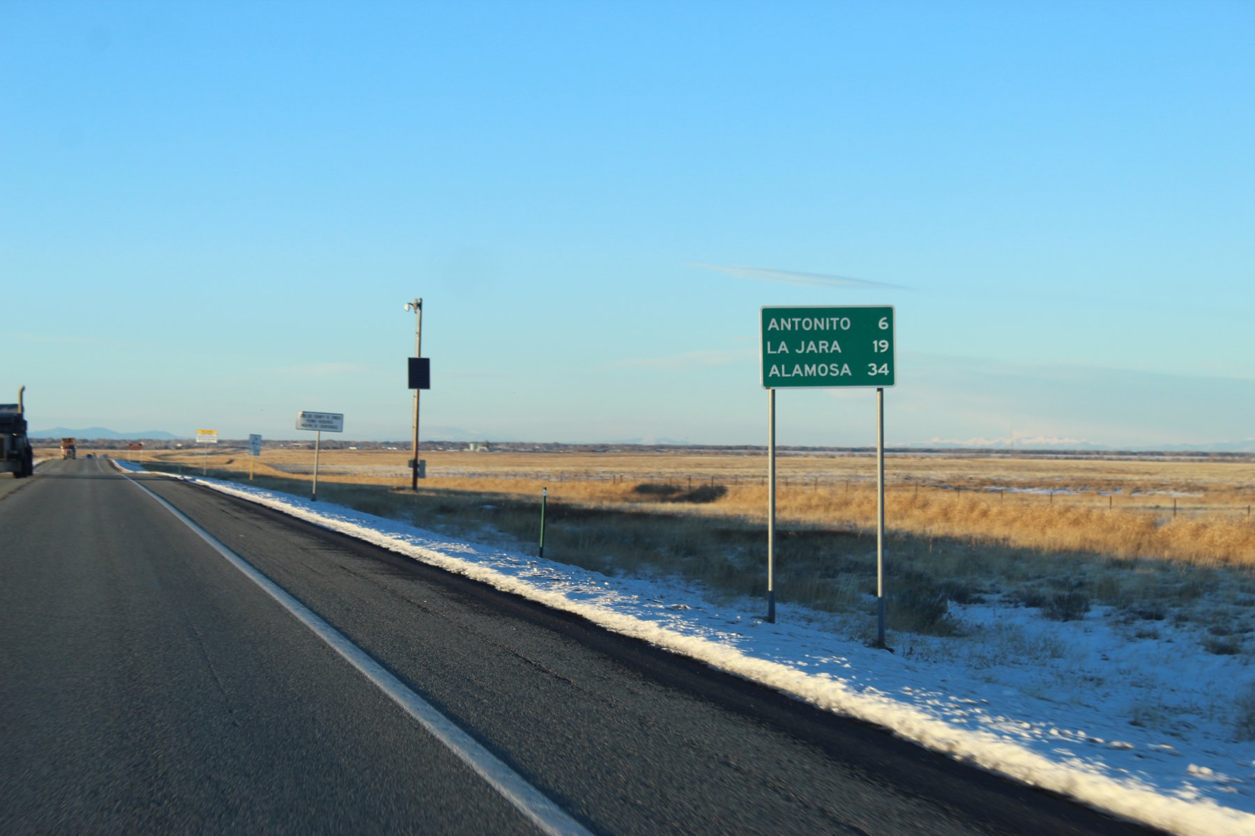
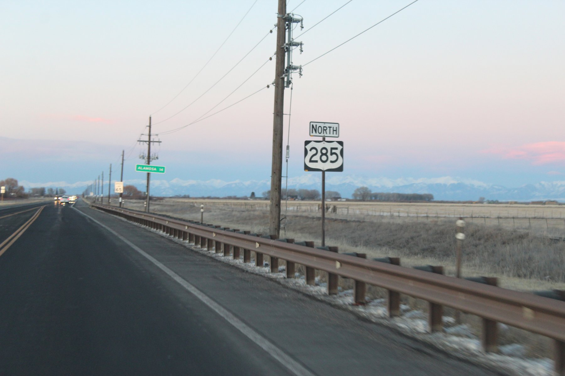
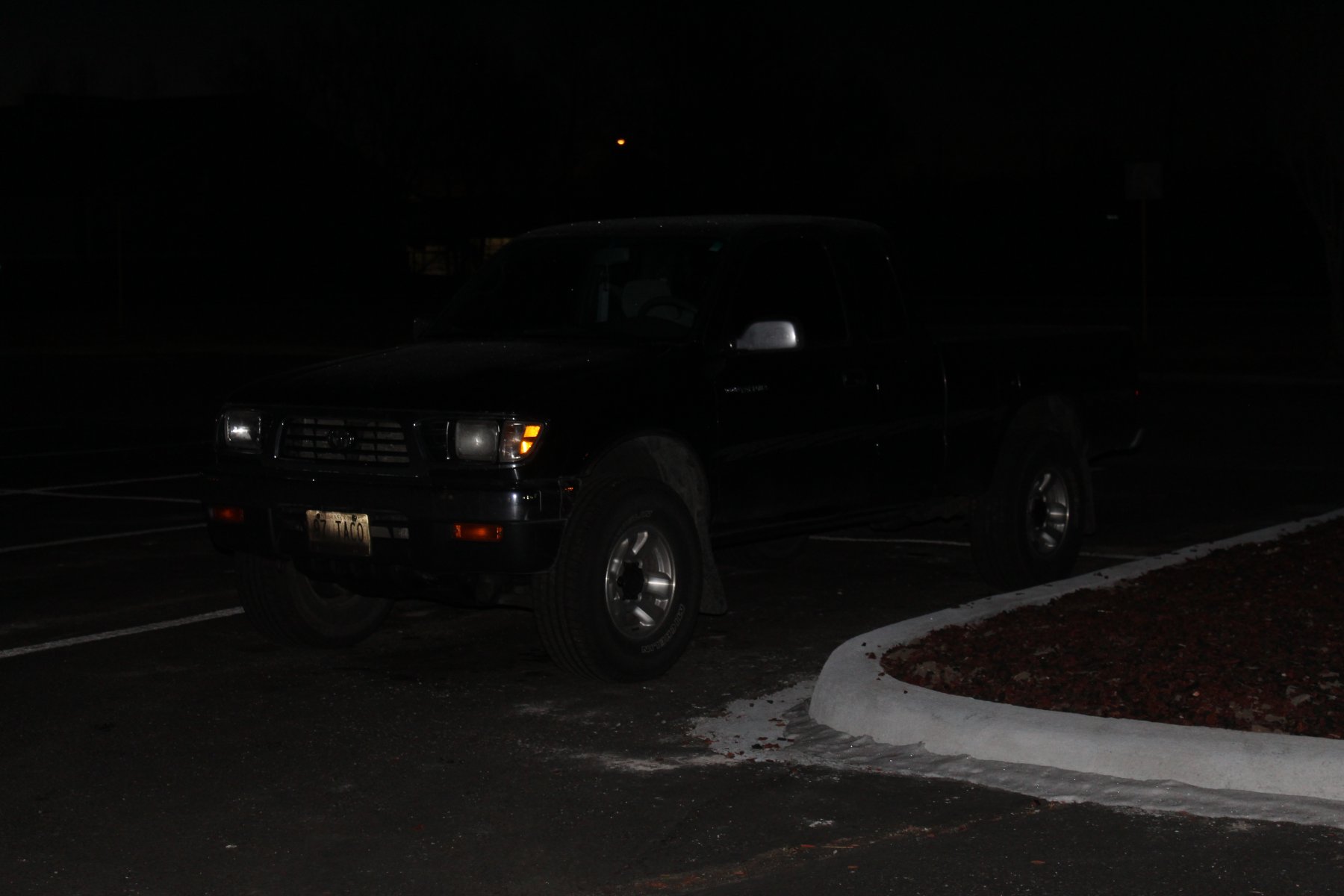
last good picture of the day before getting a bit too dark out there
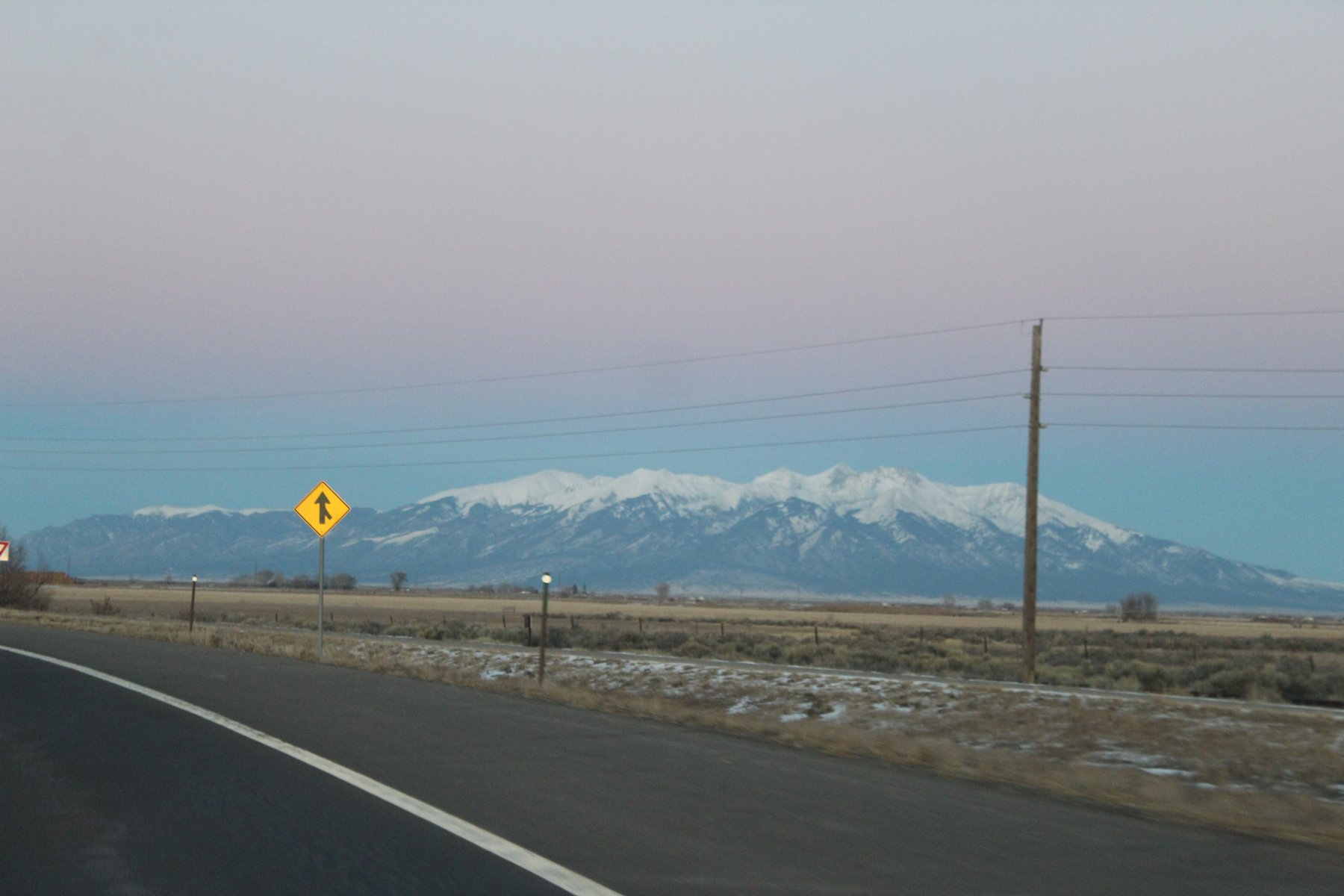
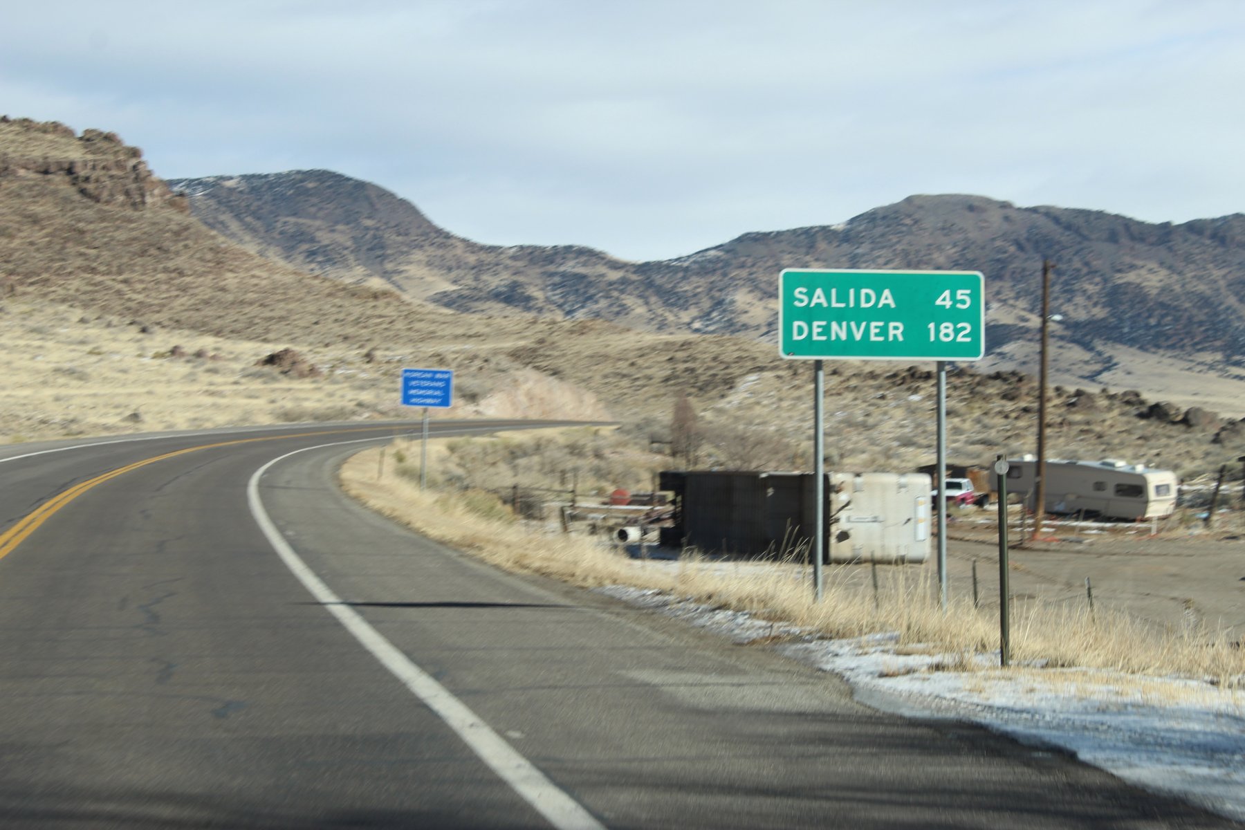
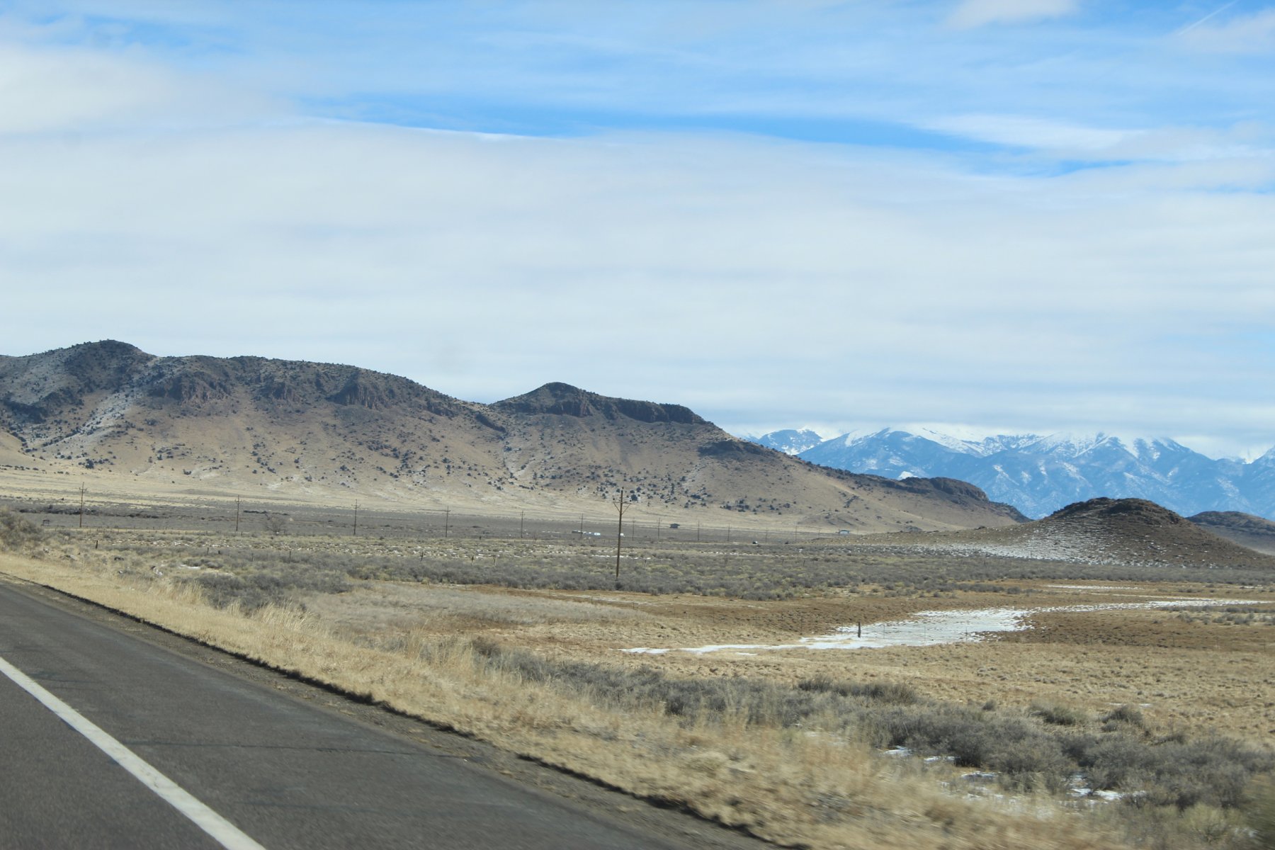
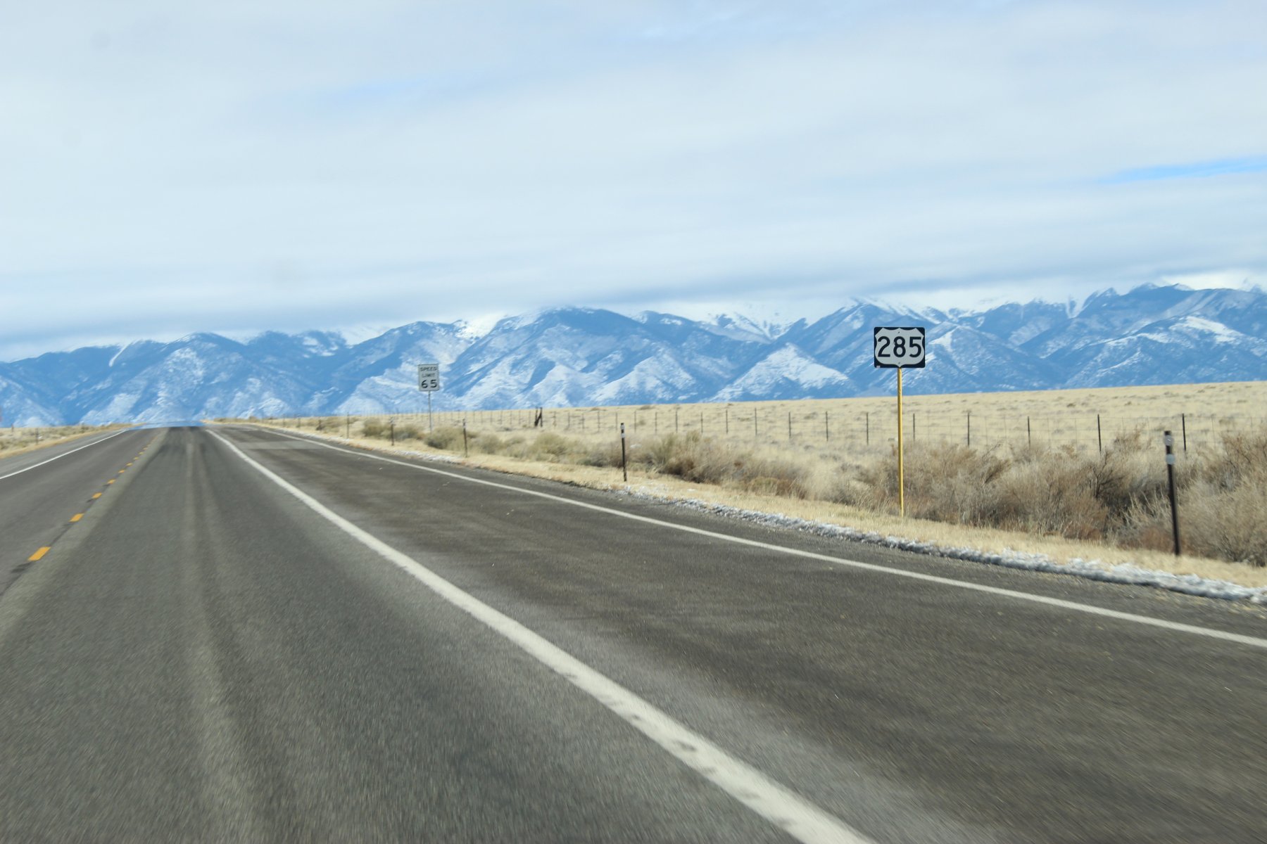
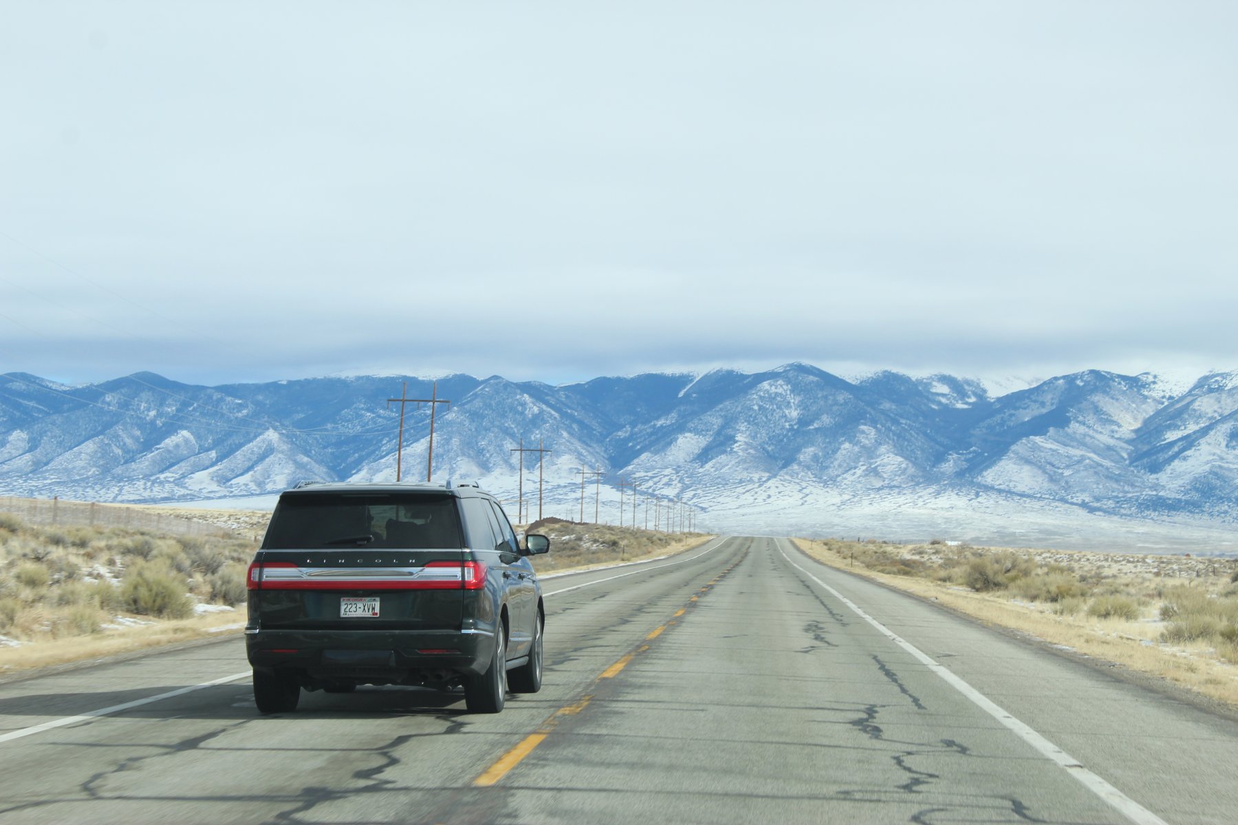
made it safely to stop 5 (Alamosa, Colorado) in the on the mid-winter taco adventure wheeling US-285 just after sundown
Had to wheel it through a 40 mile 1 lane no passing 46mph limit at the border
8 hours and almost 350 miles
2900 mile treK so far.
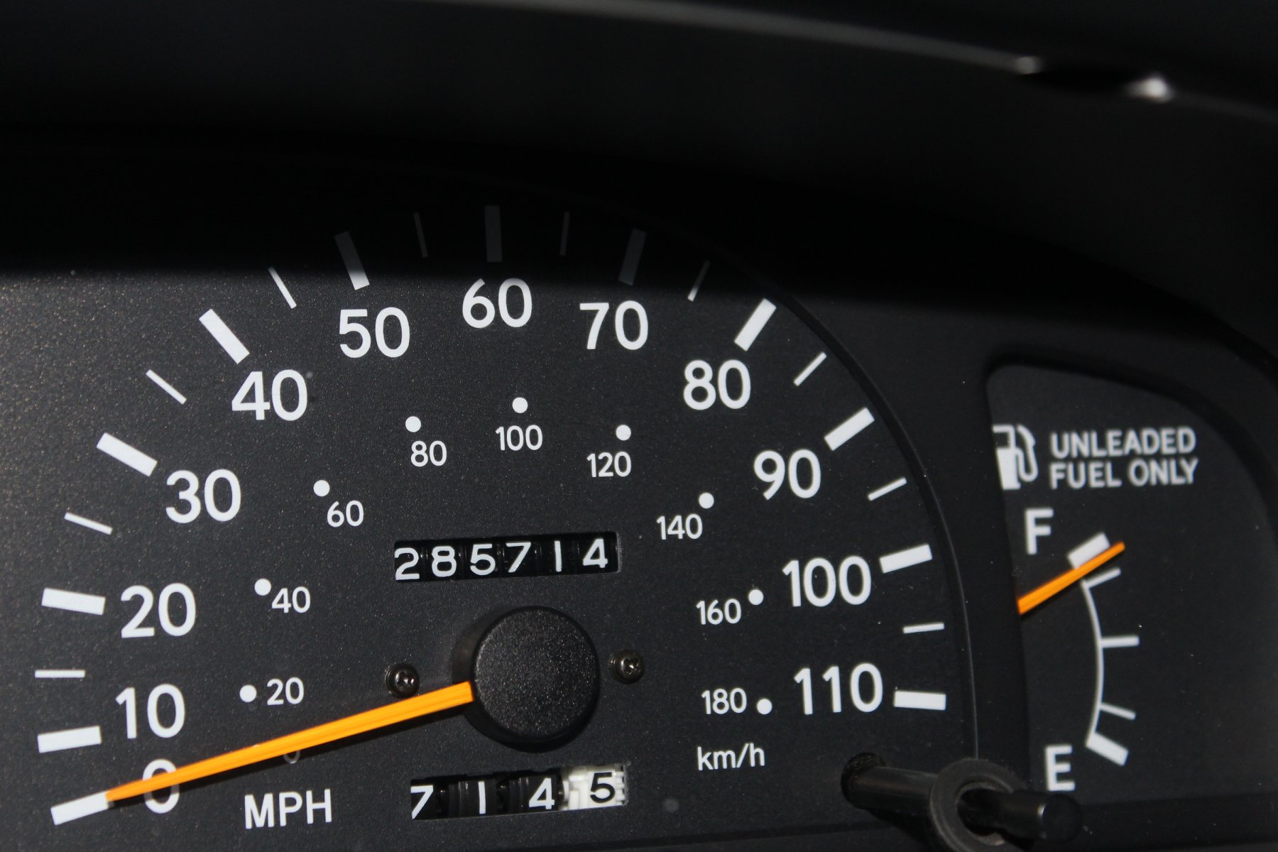
definitely dirty truck needs a washing!
Last edited:
JayQQ97
MW surVivor ... clutched. 367k on the 0D0
DAY 6---
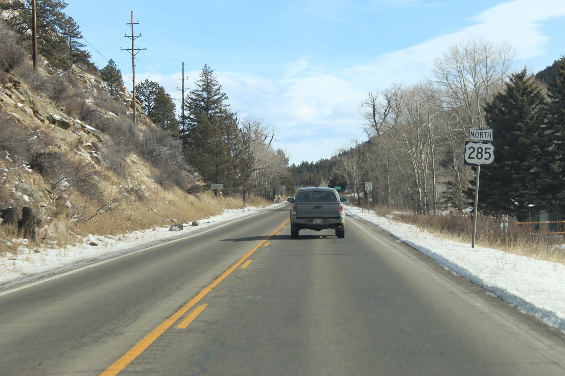
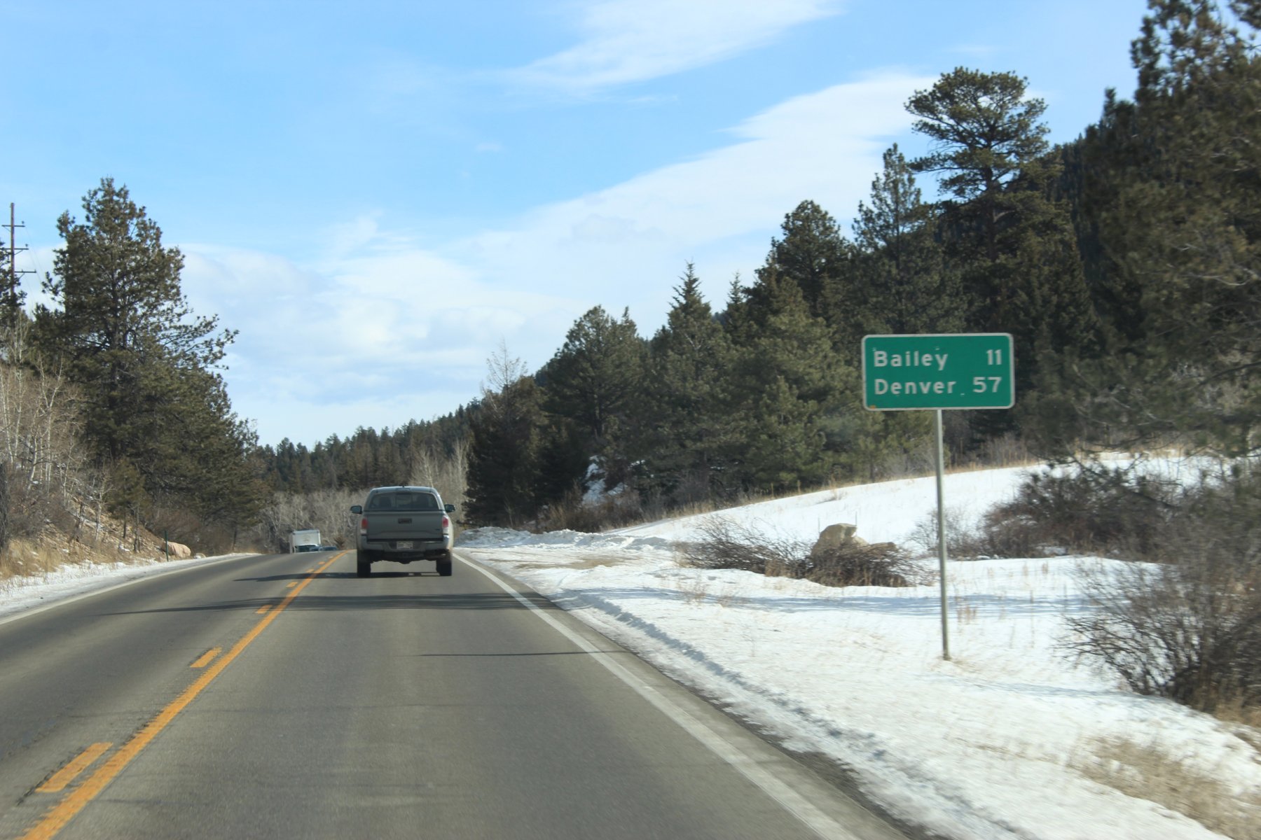
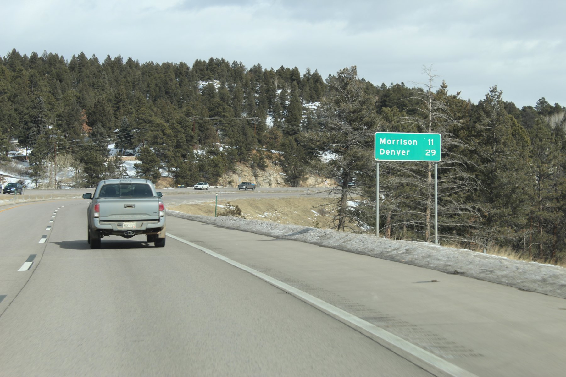
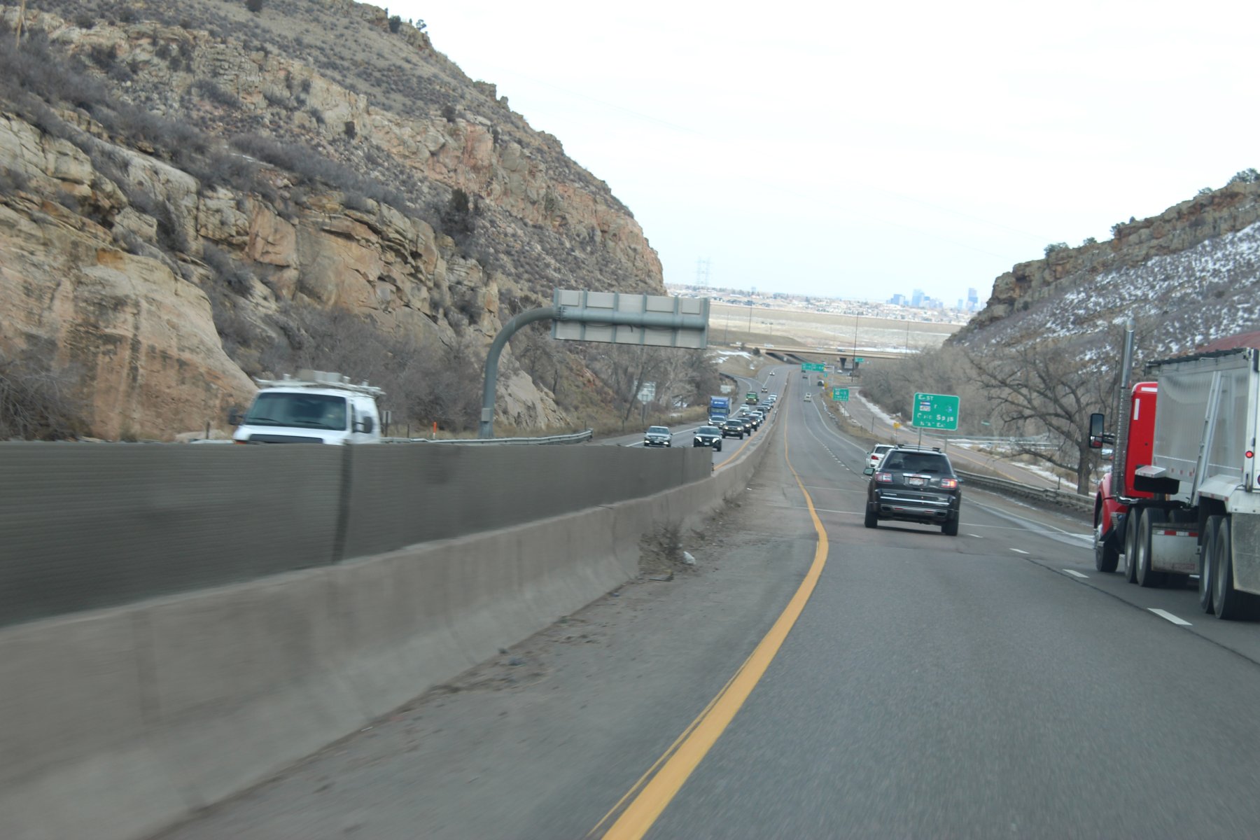
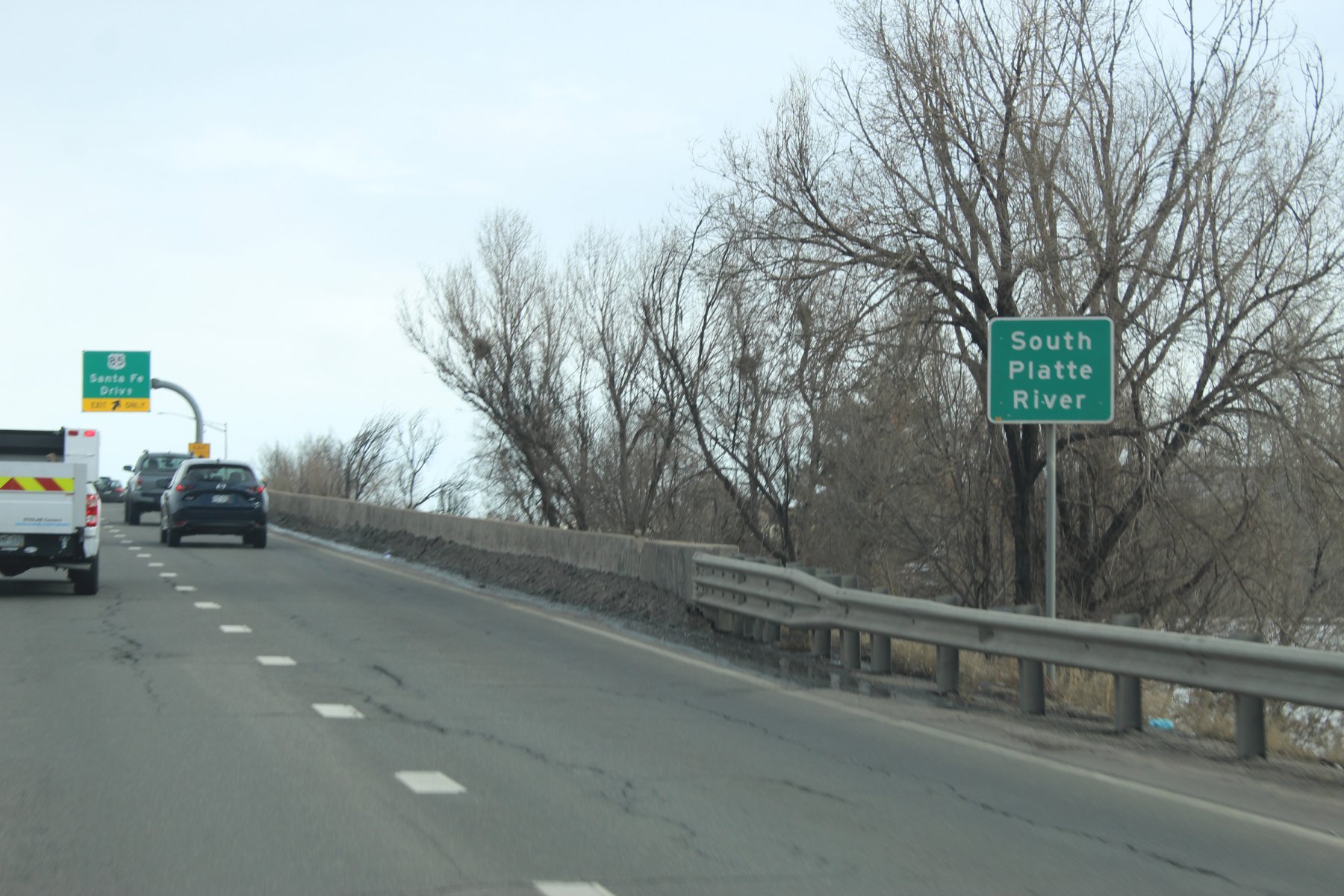
heading to the end of US-285 into Denver and then north to Fort Collins for a 2-night stay

 en.wikipedia.org
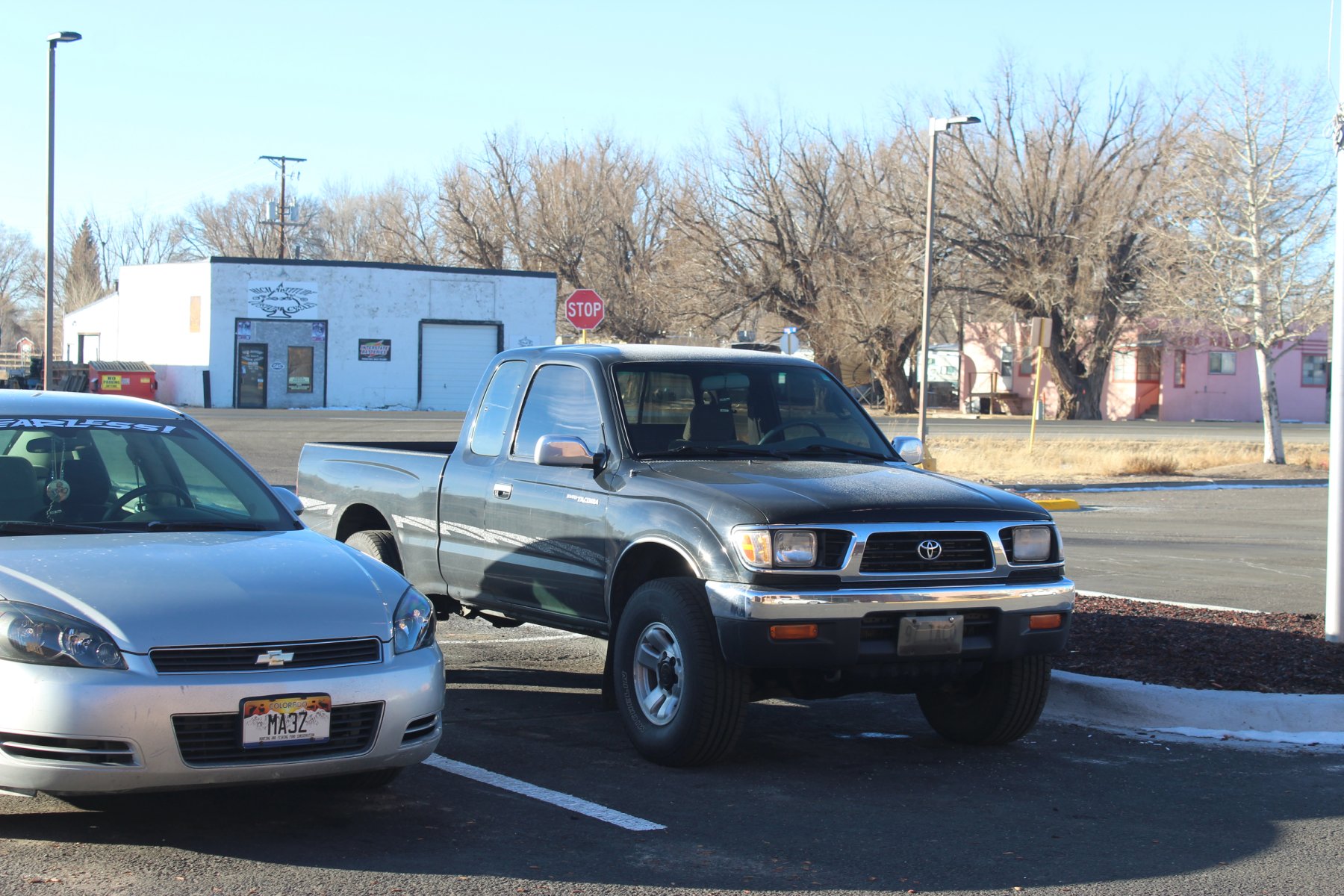
dirty truck needs a wash definitely
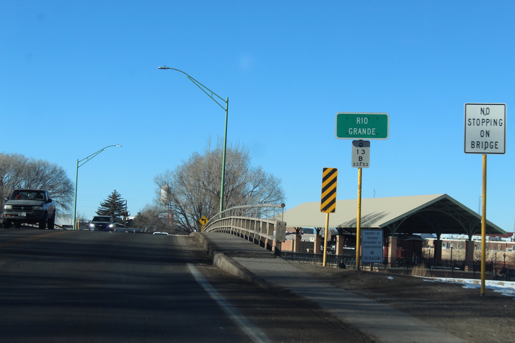
crossing the Rio Grande here in Alamosa Colorado... very close to its headWaters beginnings
trying to find the way back to US-285 and continue to journey north into Denver
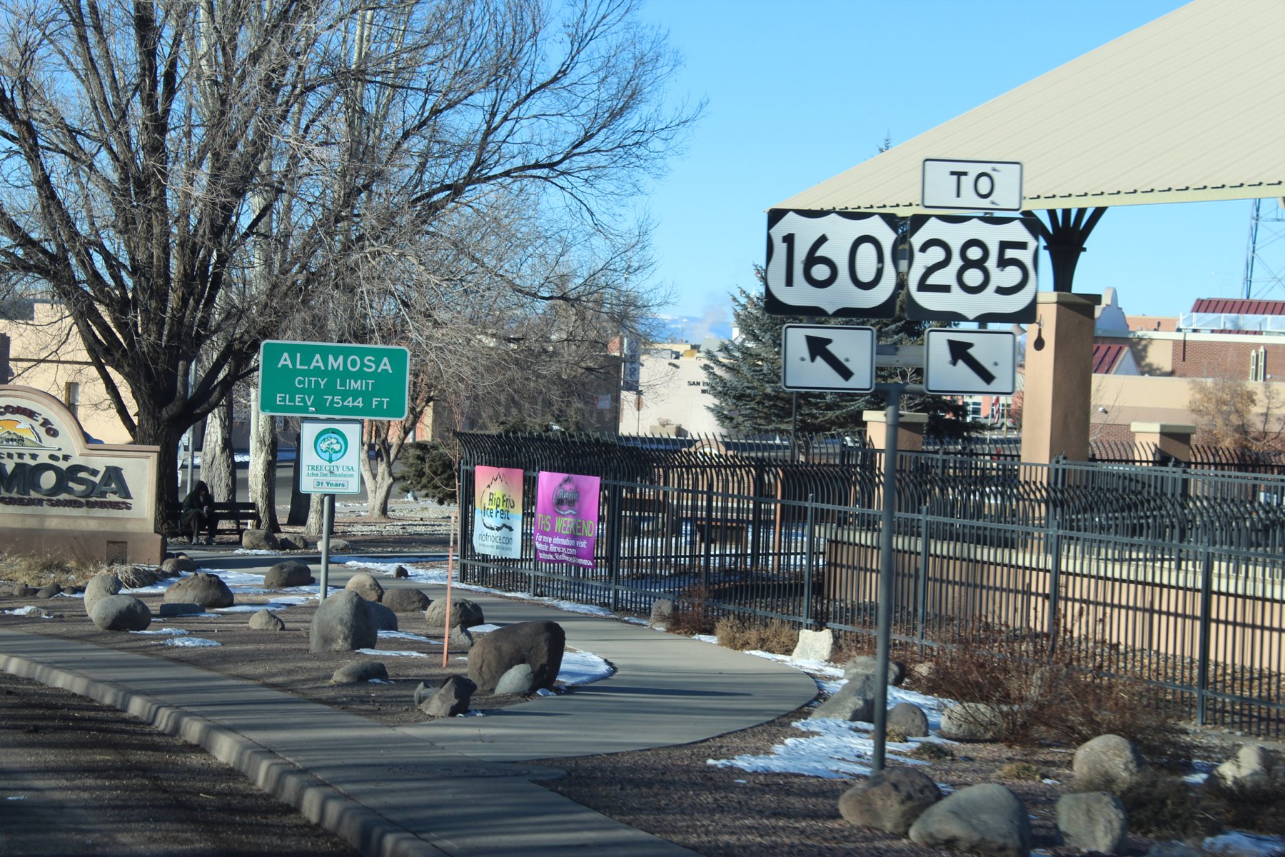
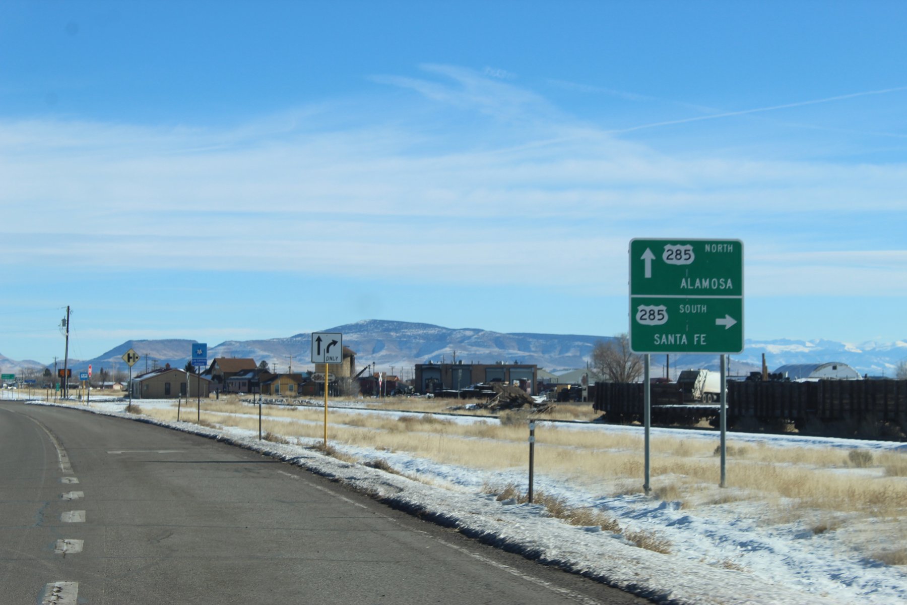
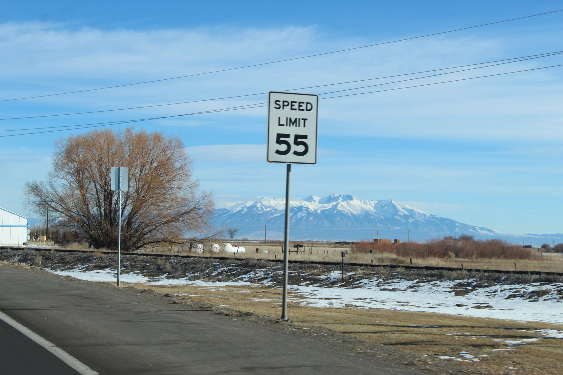
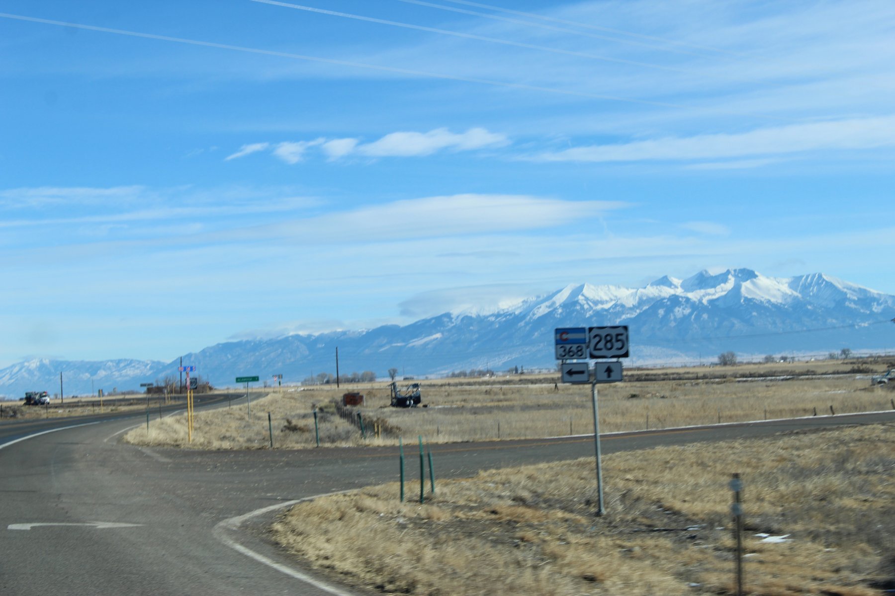
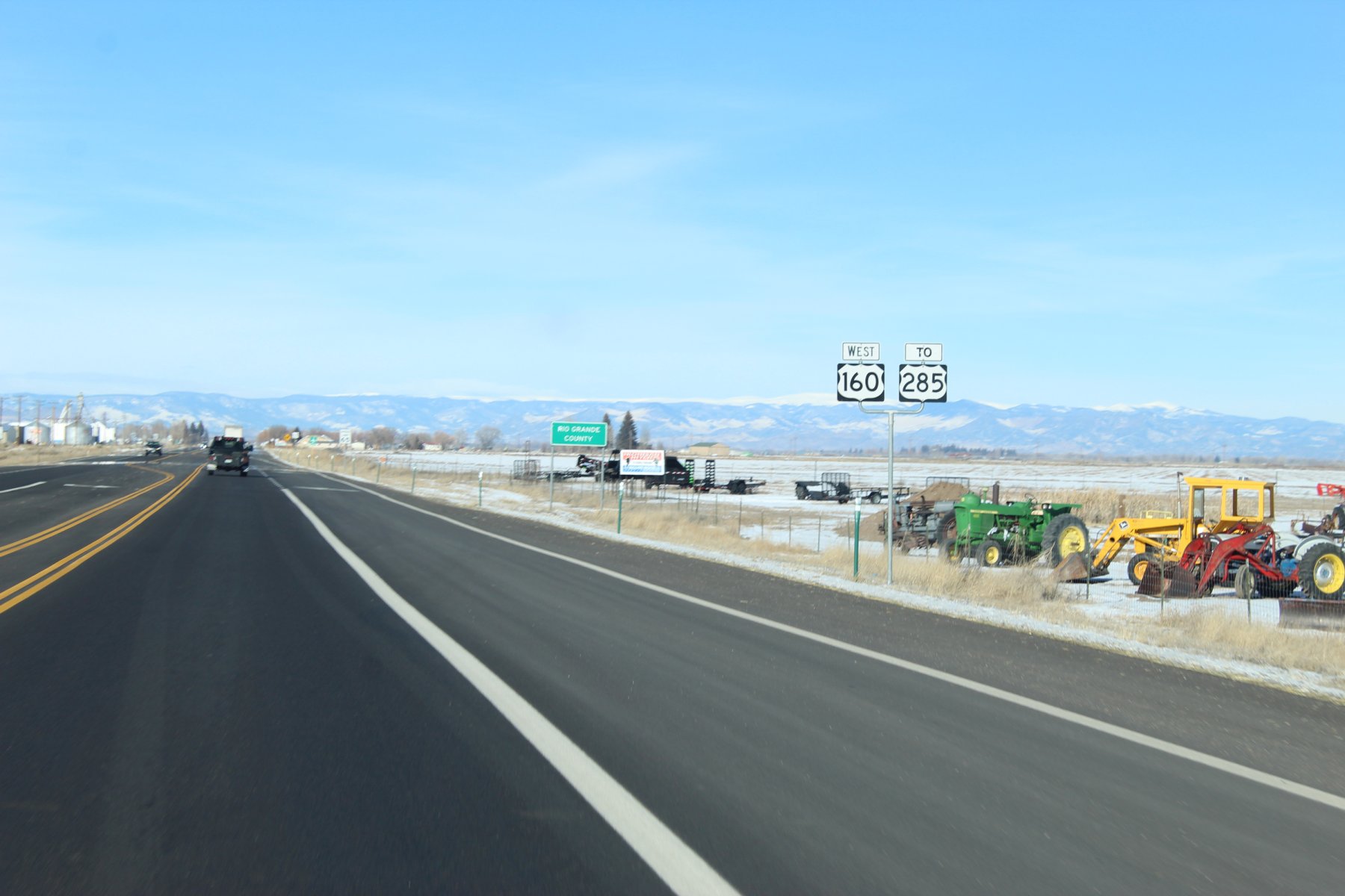
taking a right here and headed to Denver

crossing the Rio Grande, again!
somewhere in this area are the headWaters...
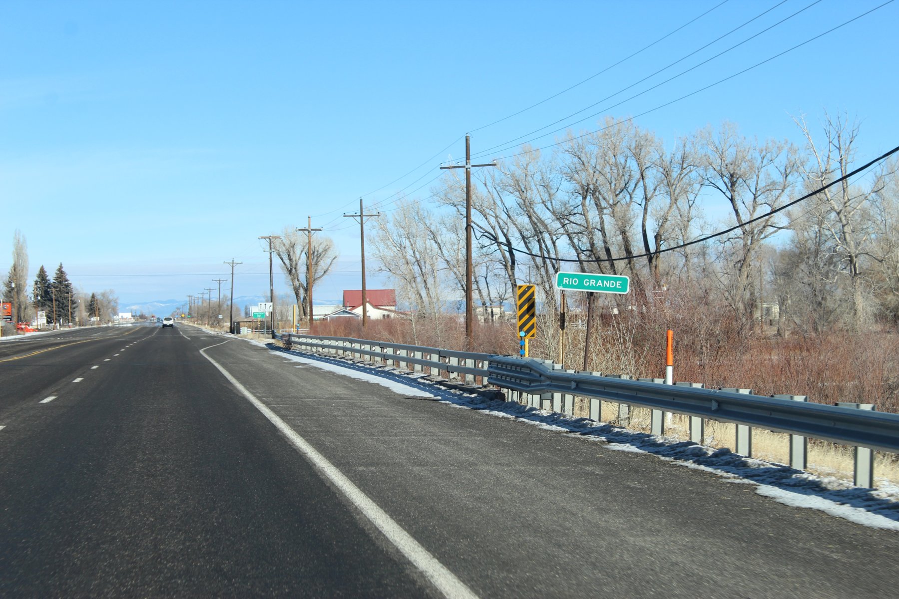
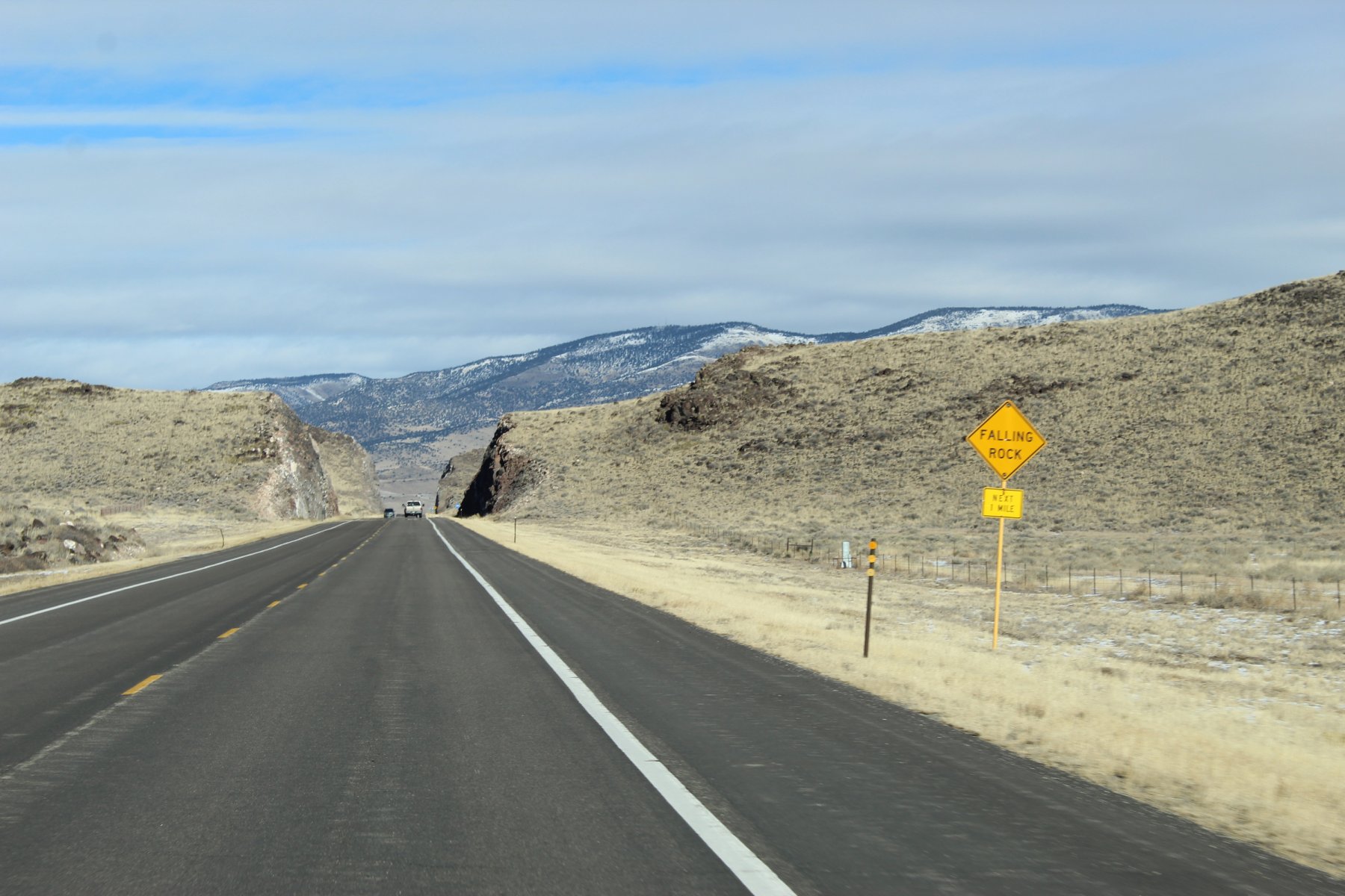
heading to the end of US-285 into Denver and then north to Fort Collins for a 2-night stay

U.S. Route 285 - Wikipedia
dirty truck needs a wash definitely

crossing the Rio Grande here in Alamosa Colorado... very close to its headWaters beginnings

trying to find the way back to US-285 and continue to journey north into Denver


taking a right here and headed to Denver

crossing the Rio Grande, again!
somewhere in this area are the headWaters...


Last edited:
JayQQ97
MW surVivor ... clutched. 367k on the 0D0
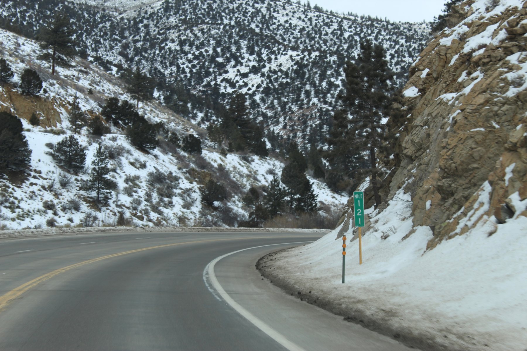
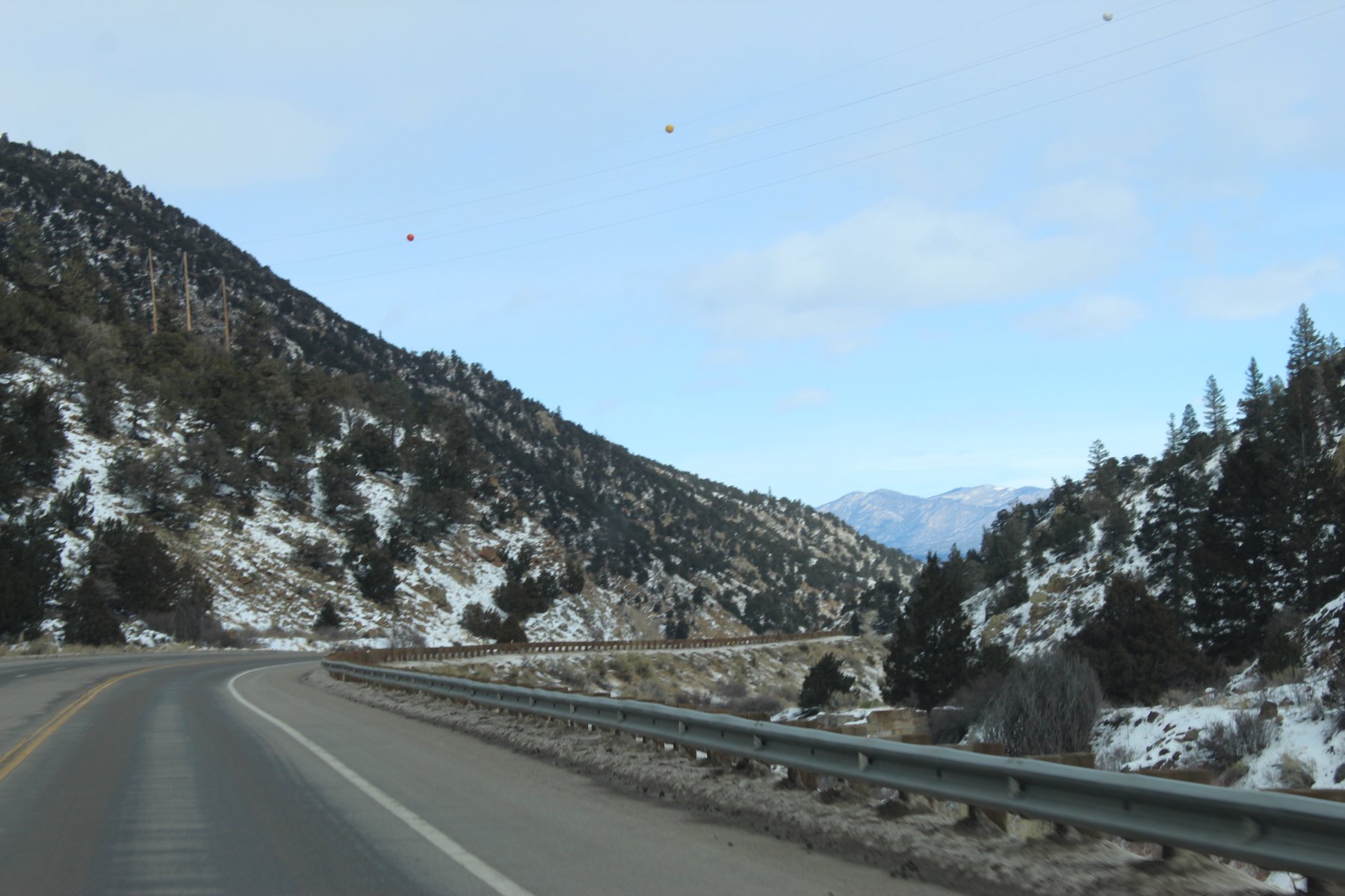
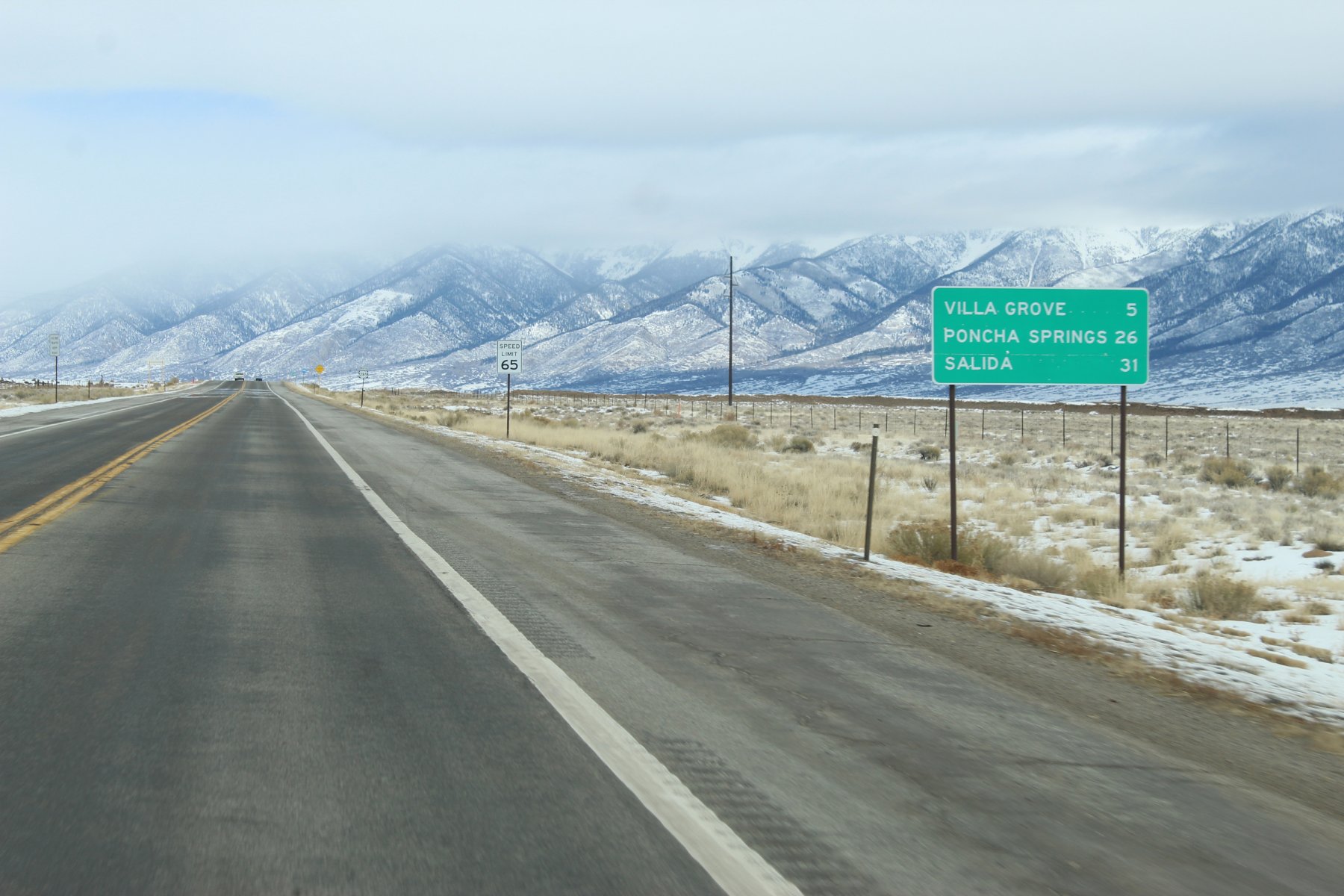
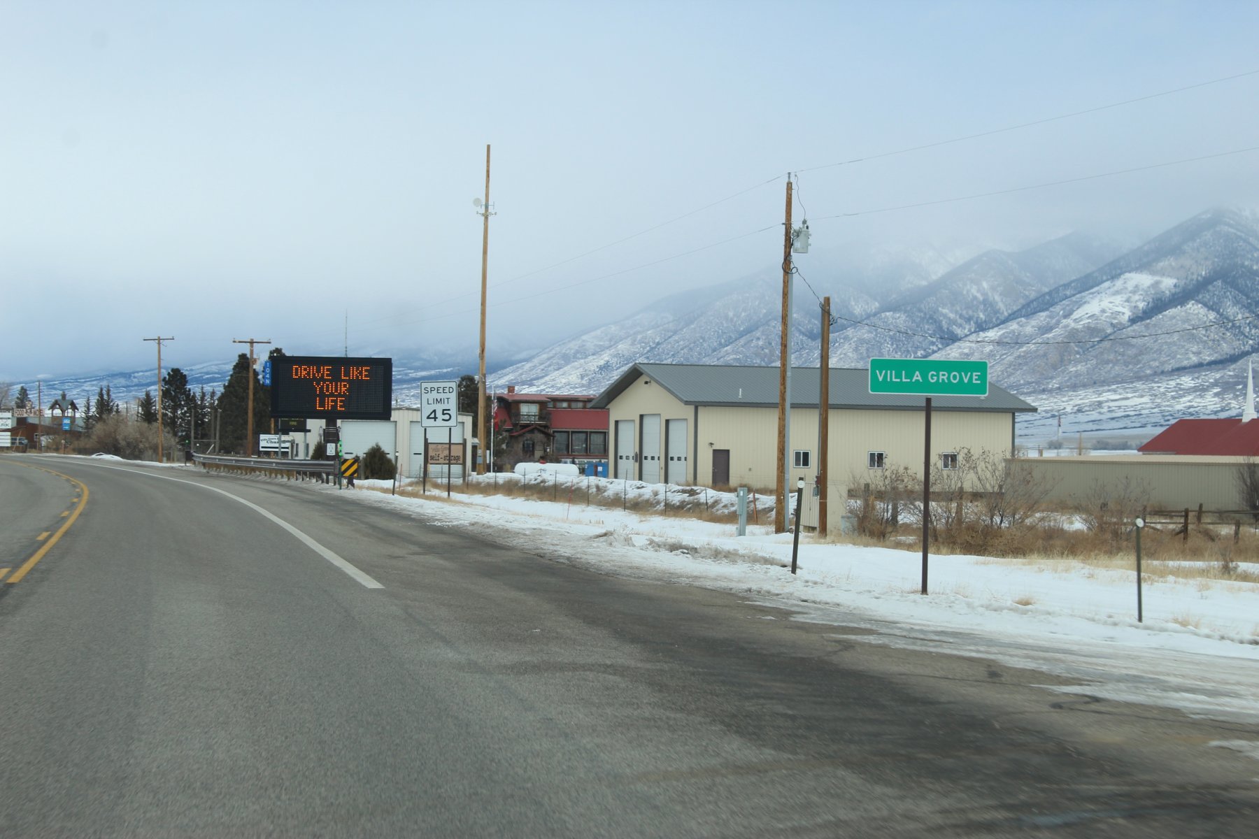
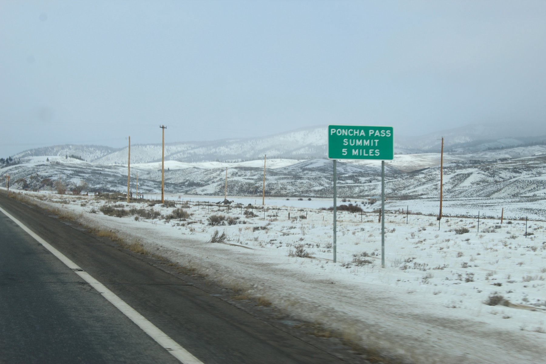
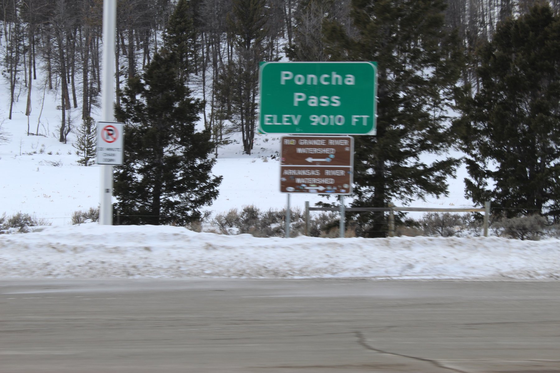
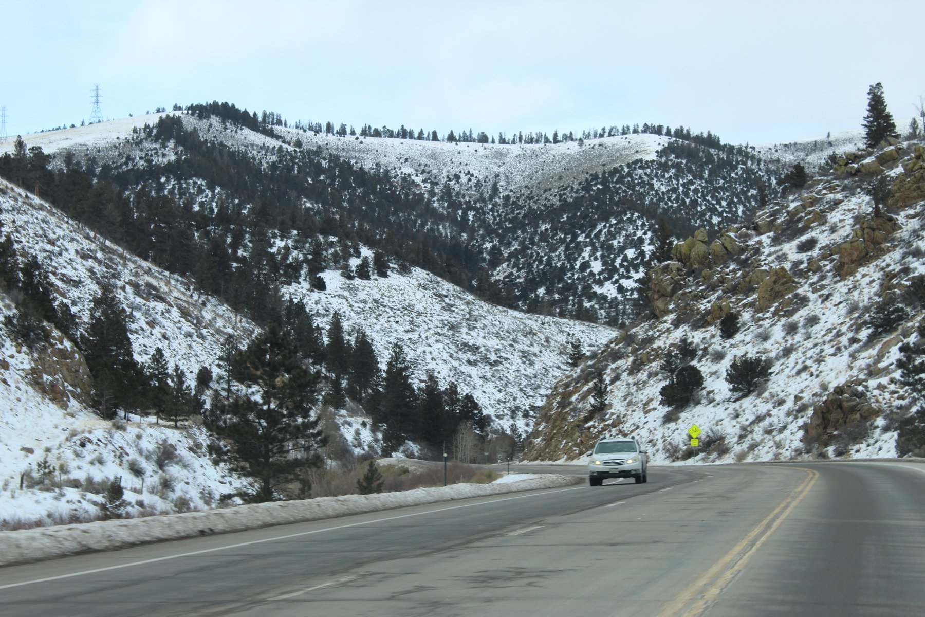
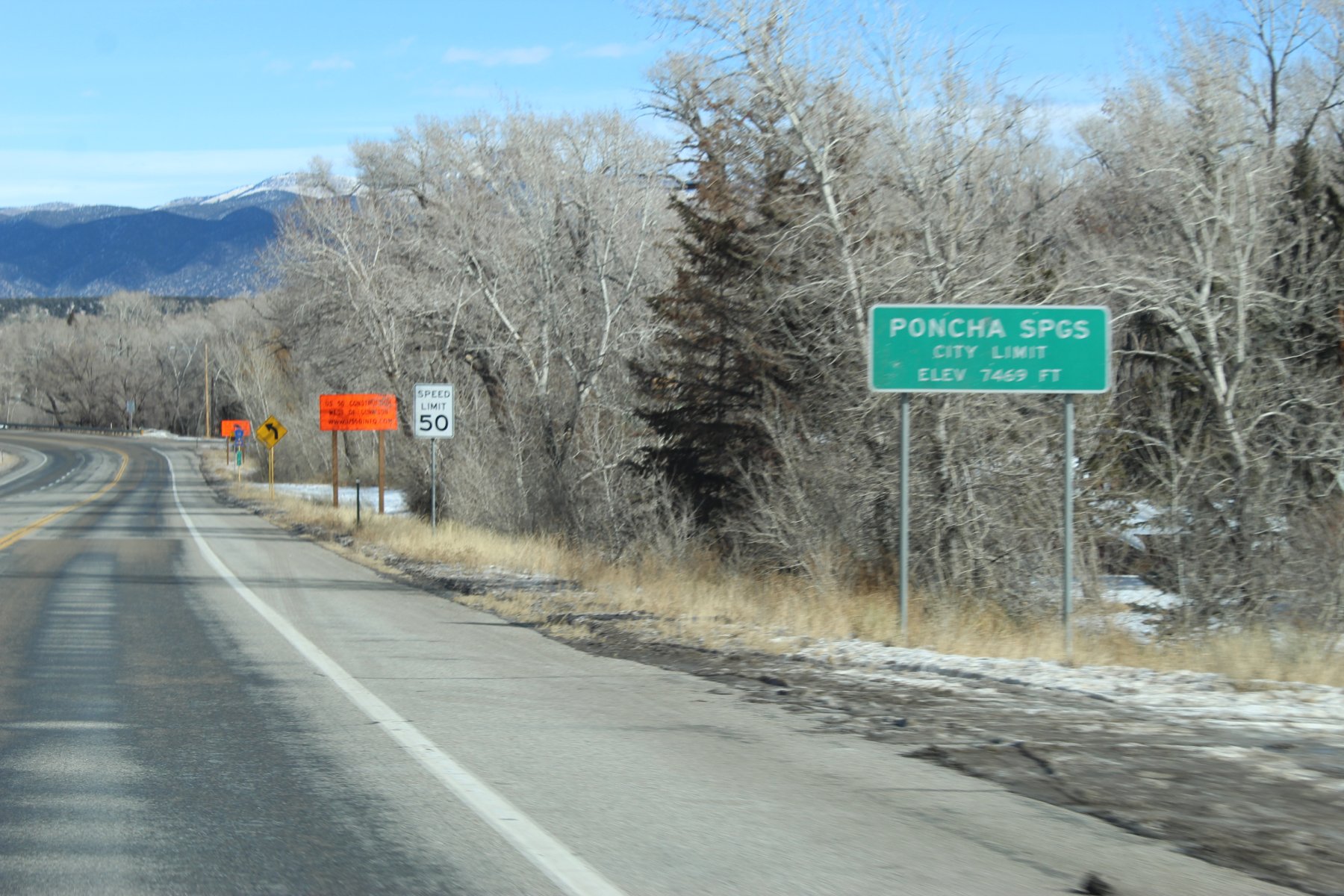
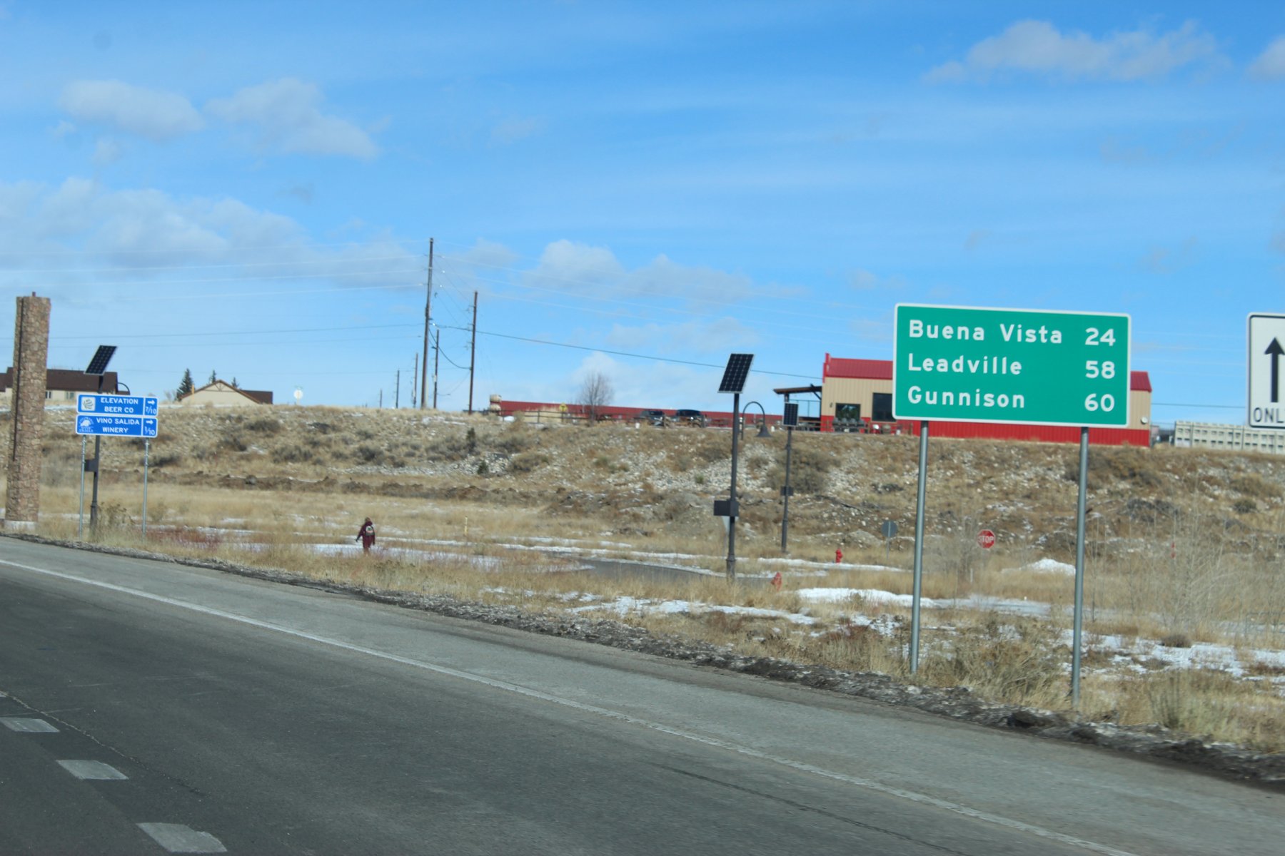
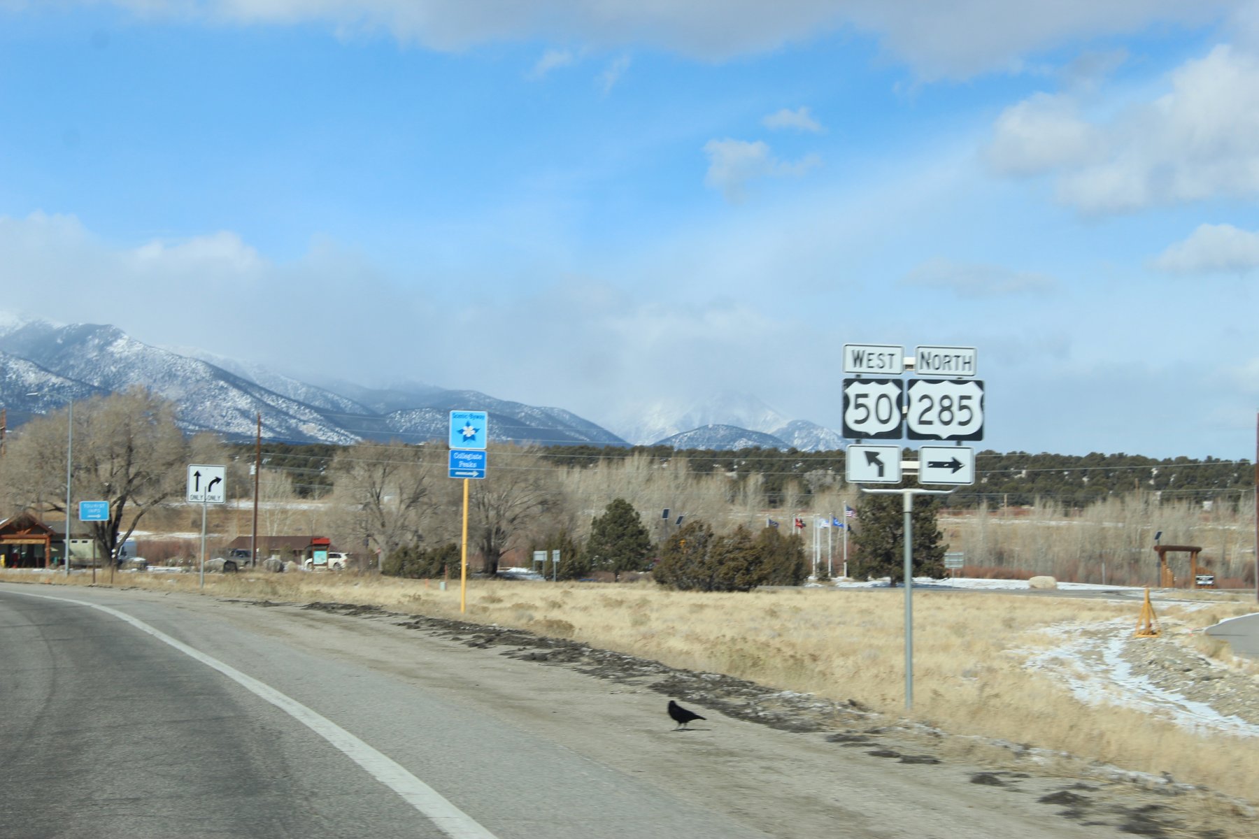
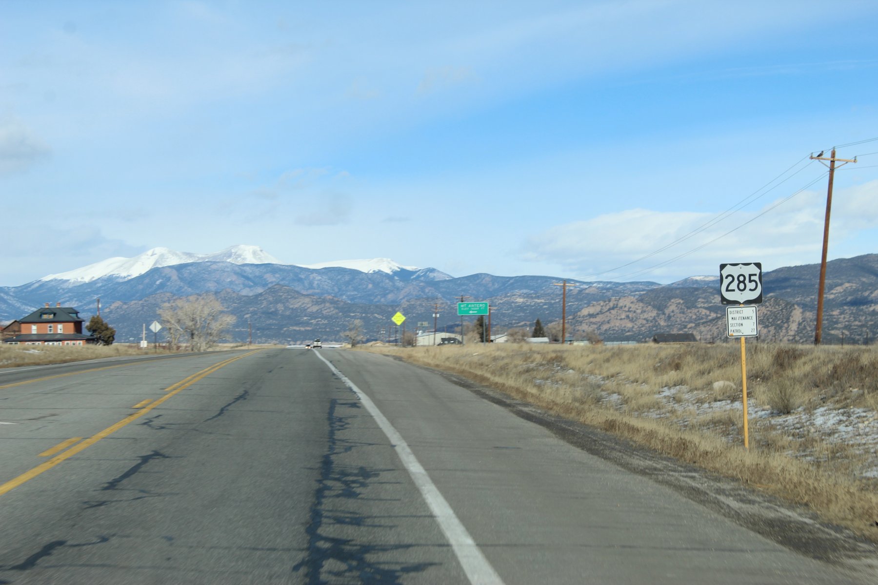
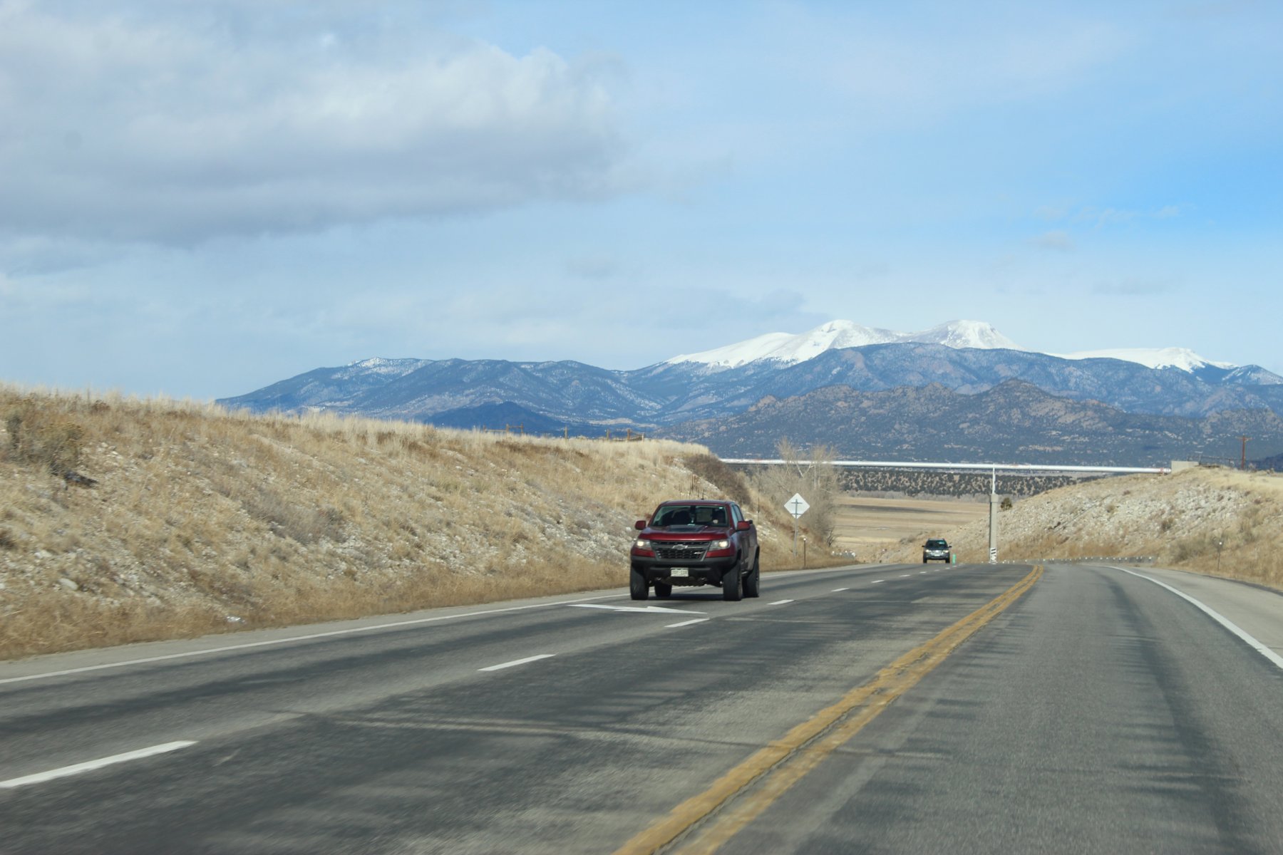
Poncha Springs Colorado
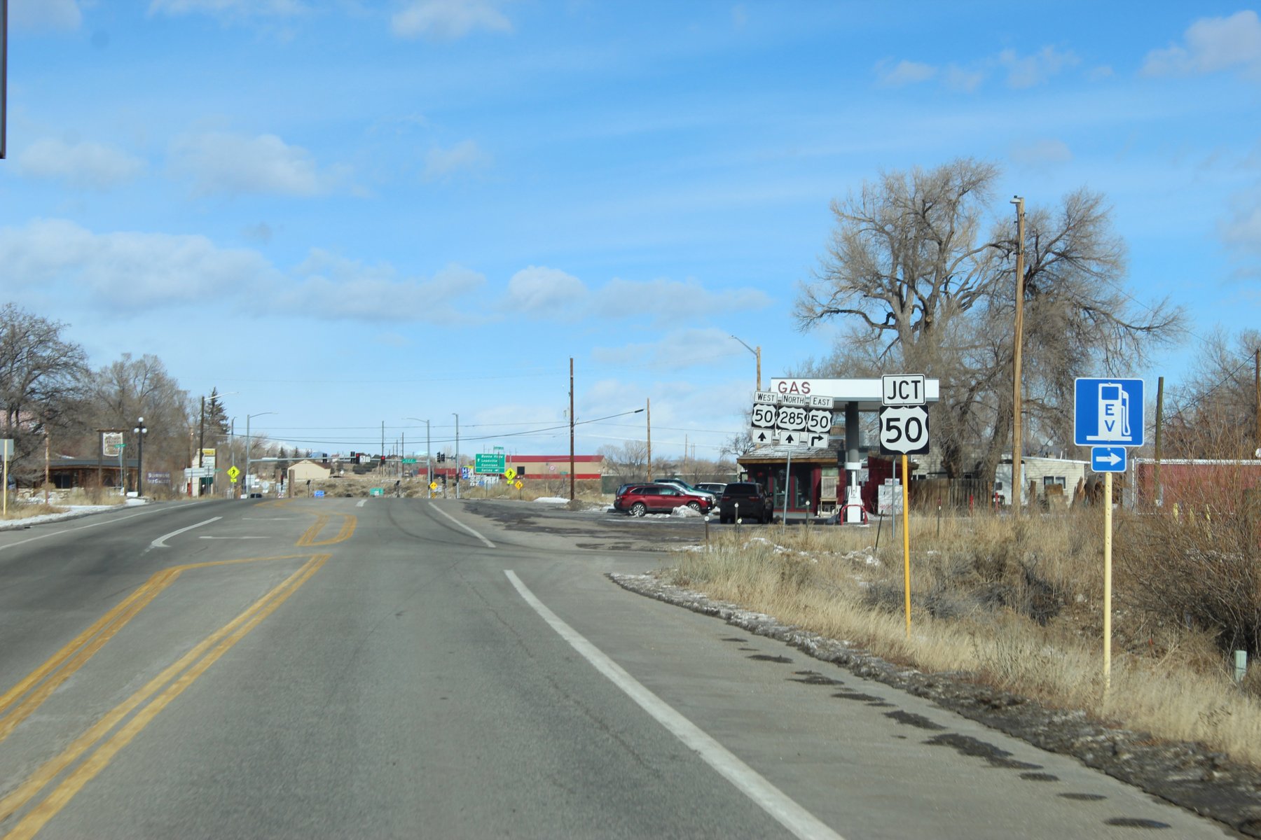
US-50 JCT up ahead...

U.S. Route 50 - Wikipedia
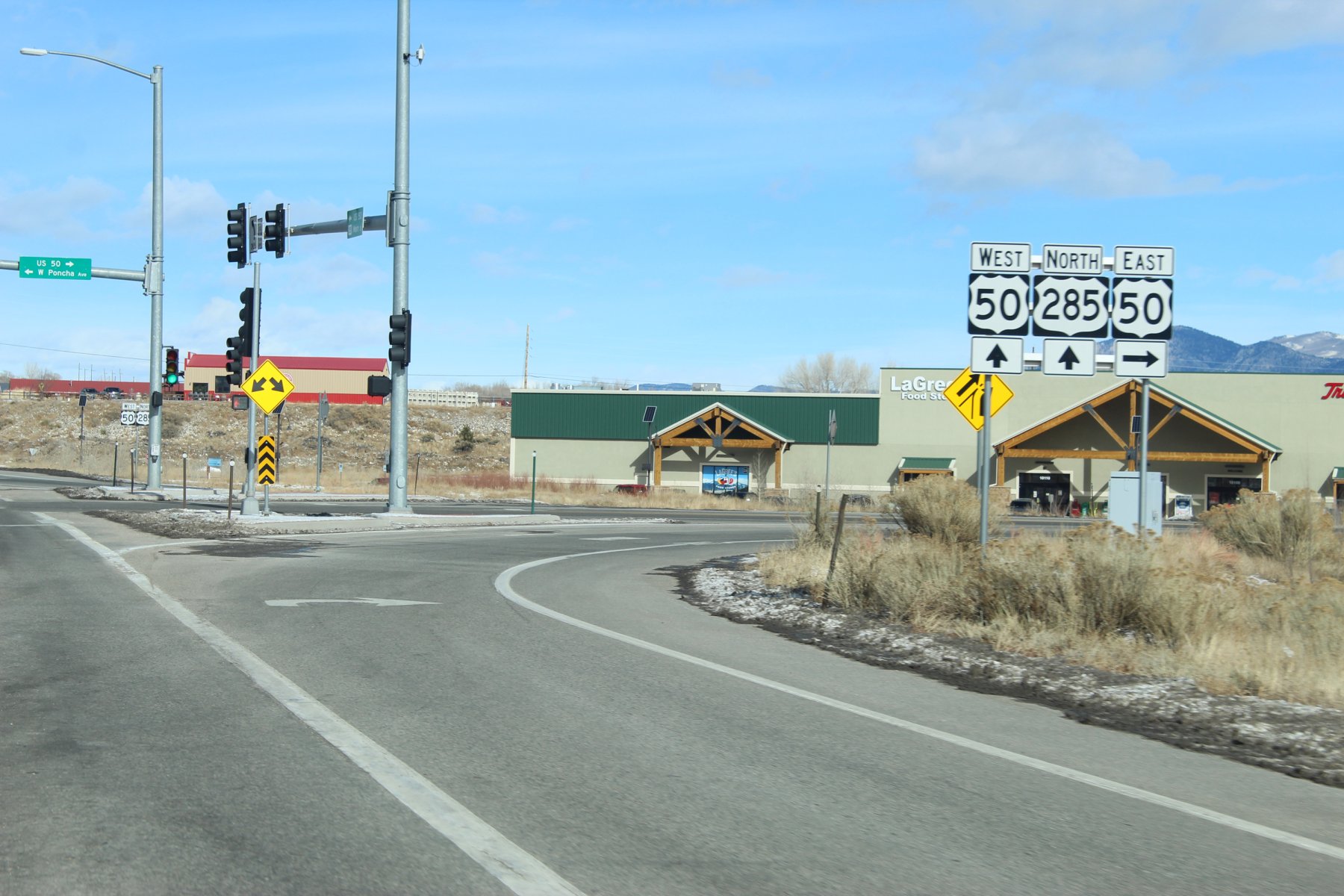
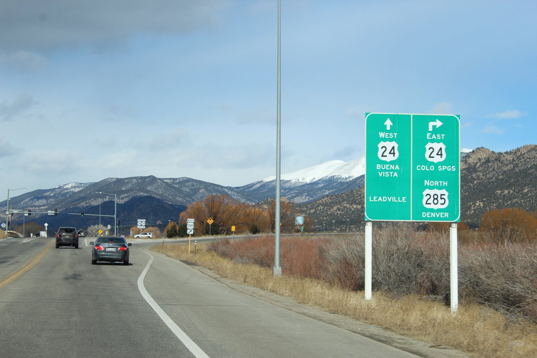
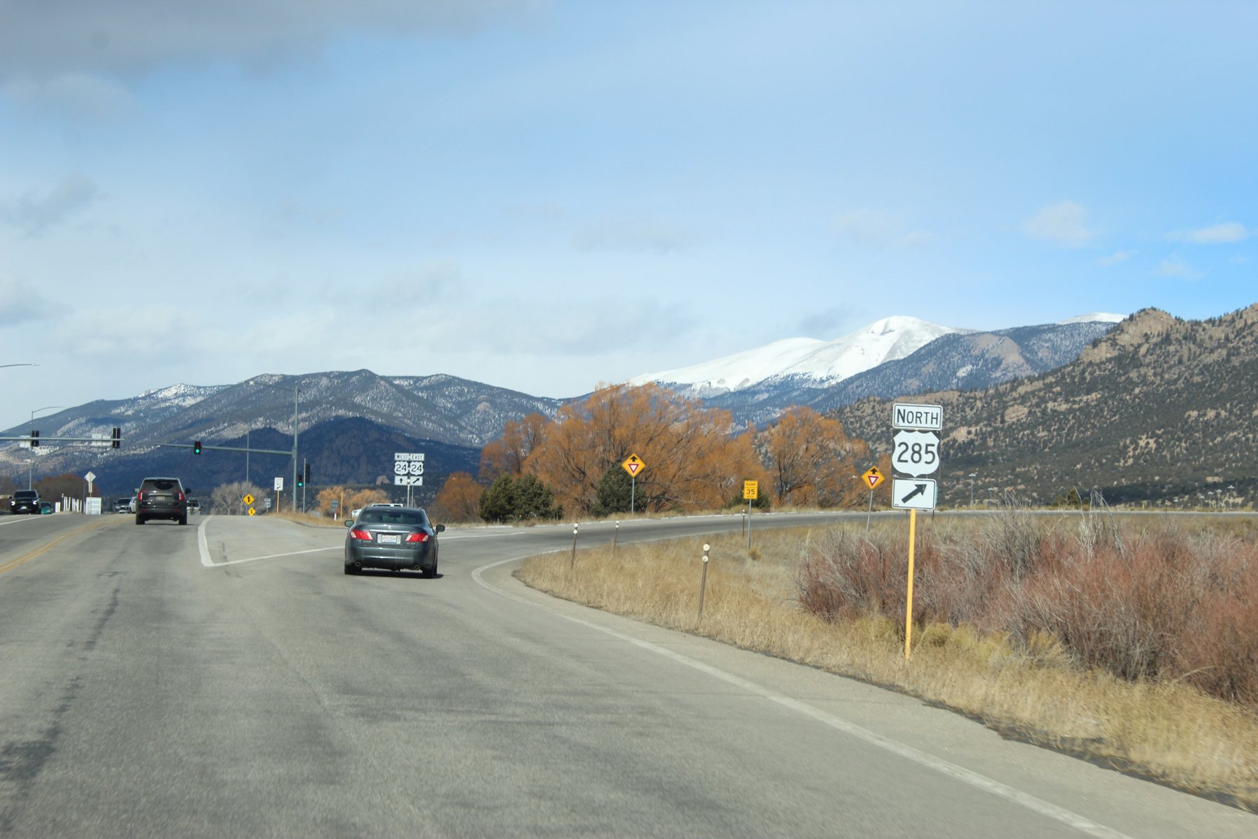
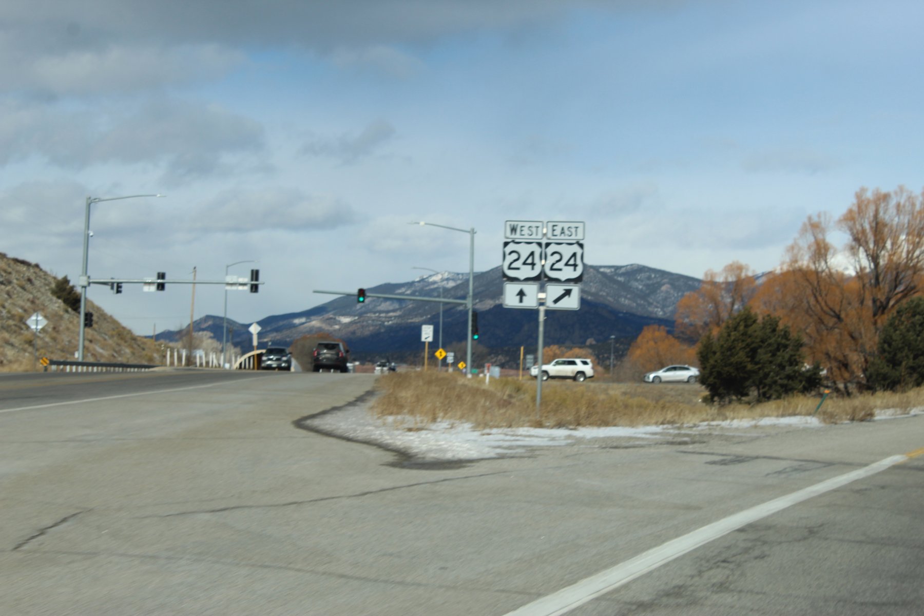
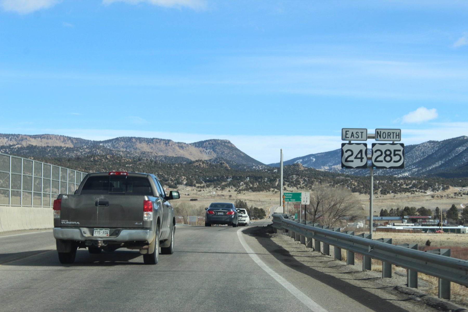
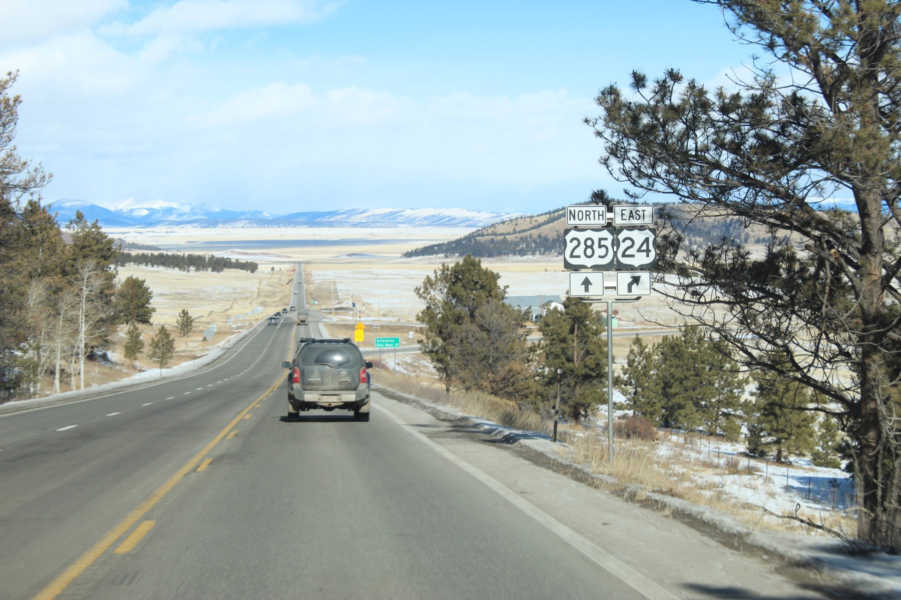
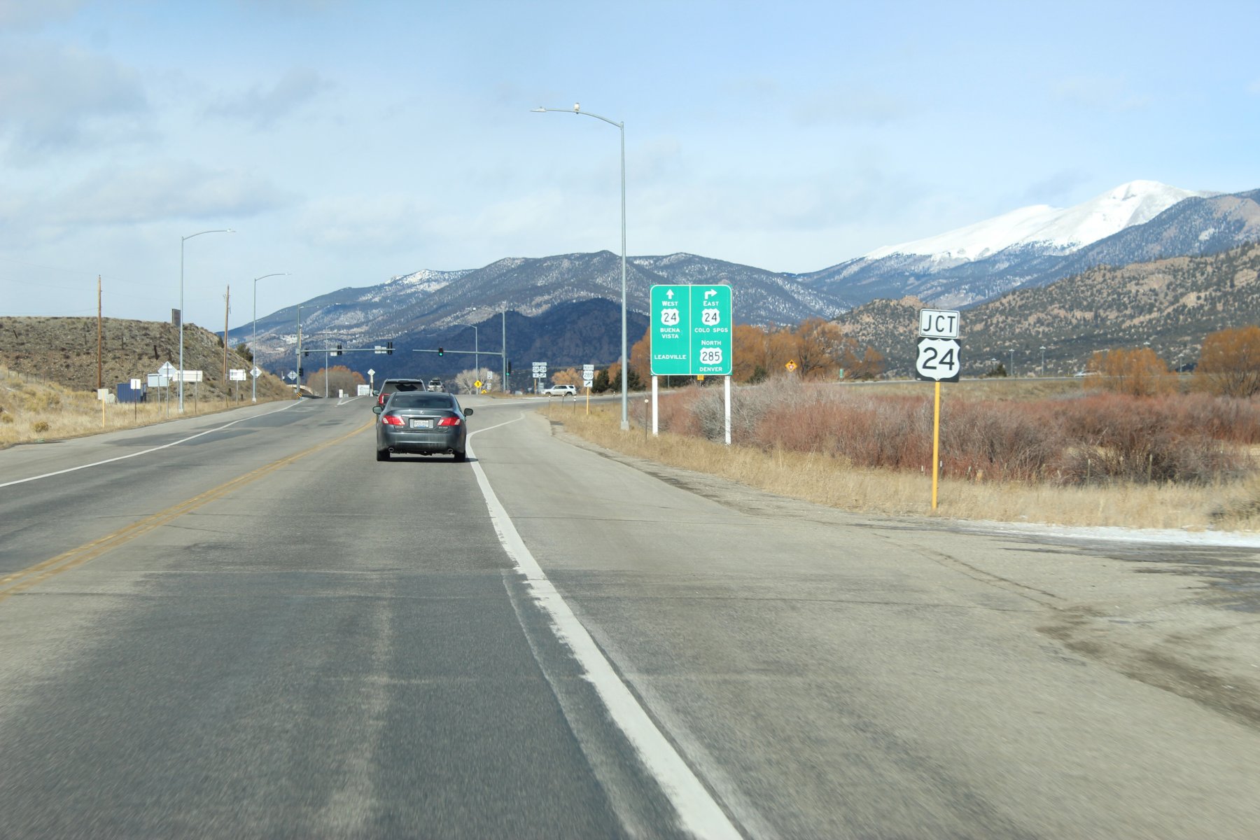
US-24 JCT up ahead...
Last edited:
JayQQ97
MW surVivor ... clutched. 367k on the 0D0
Last edited:
JayQQ97
MW surVivor ... clutched. 367k on the 0D0
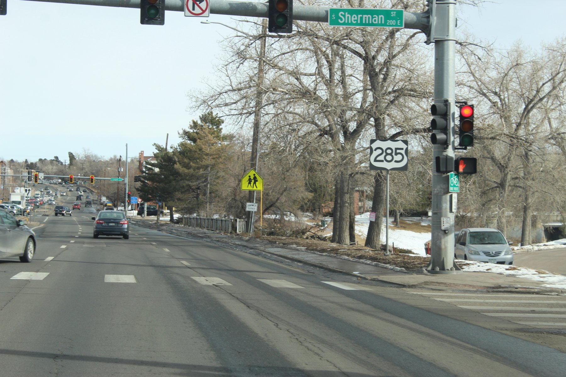
this appears to be the end of US-285 but do not see any signs marking it as such except for the CO-30 sign
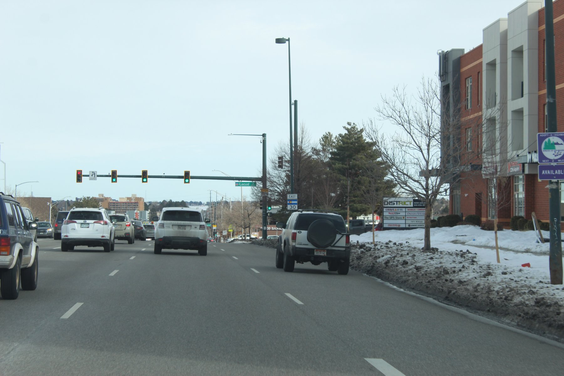
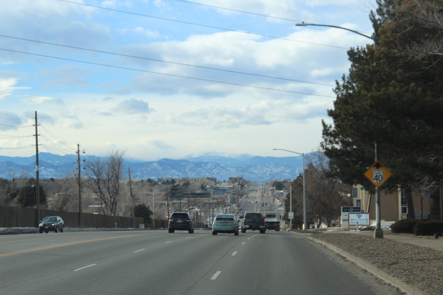
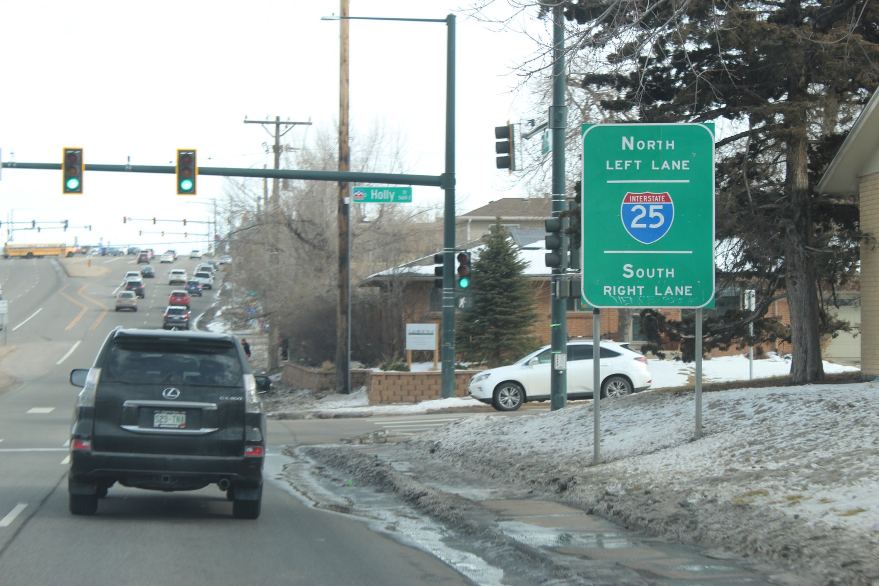
there were no noticeable markings for the end of US-285 coming from the south/west so i wheeled it abit after i25 junction and made a circleback
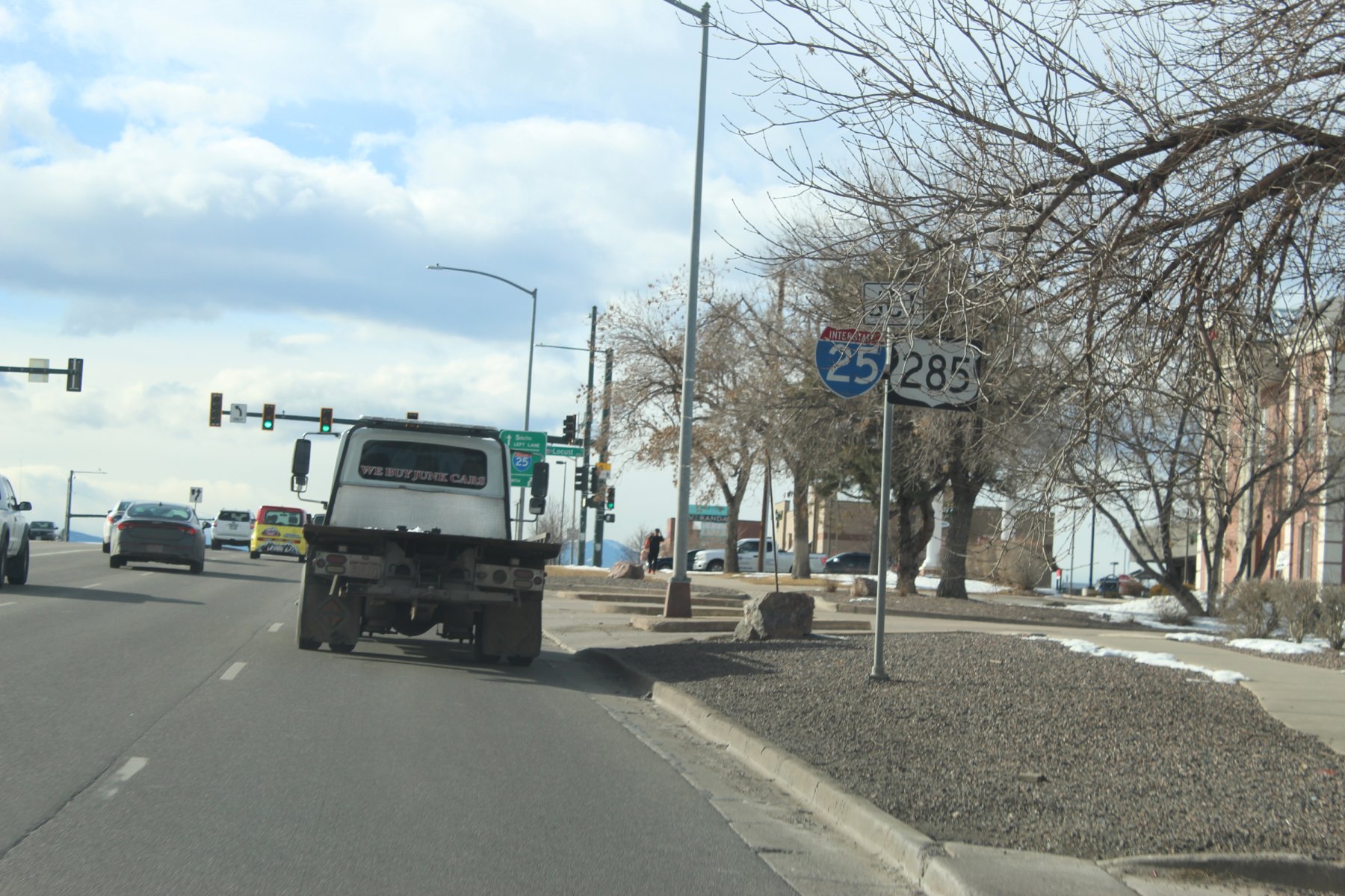
this is the east/north Start of US-285 heading south/west
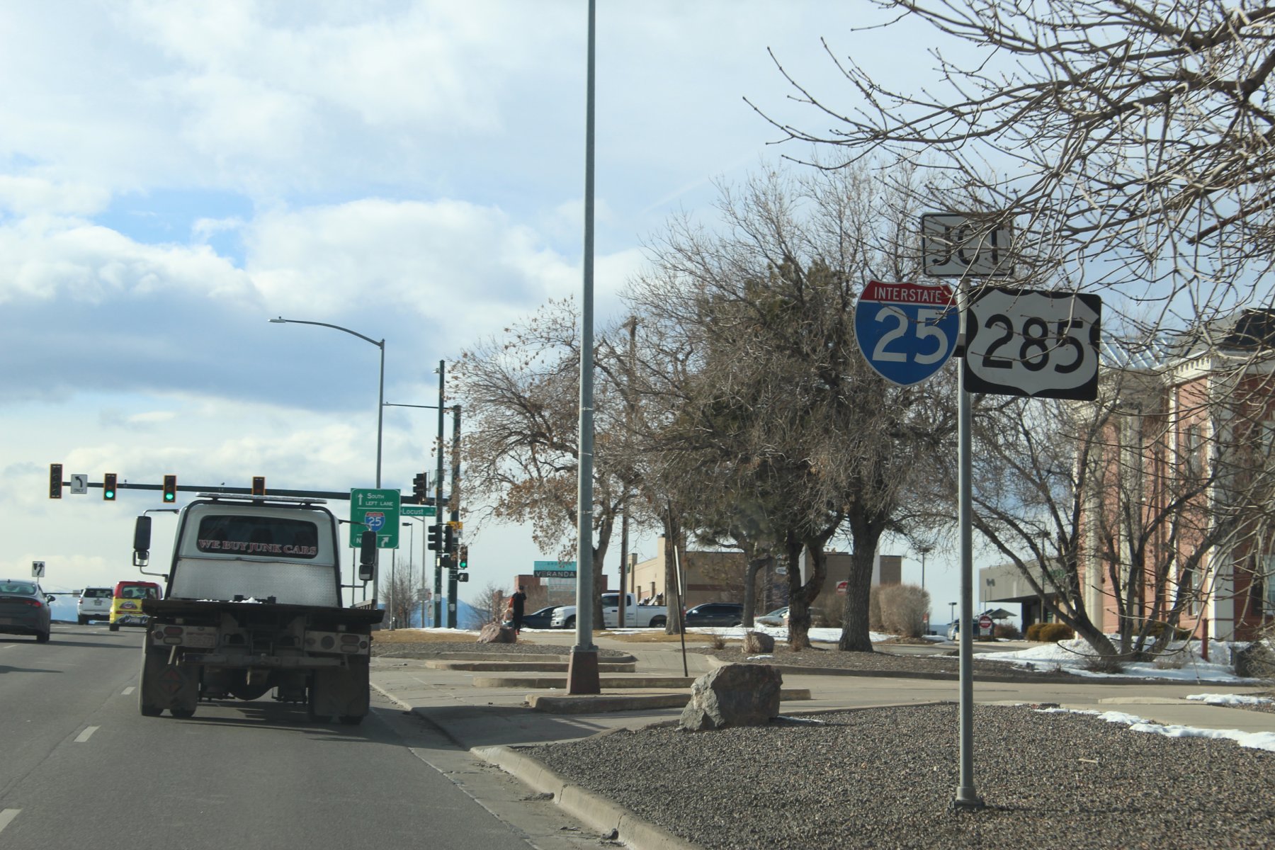
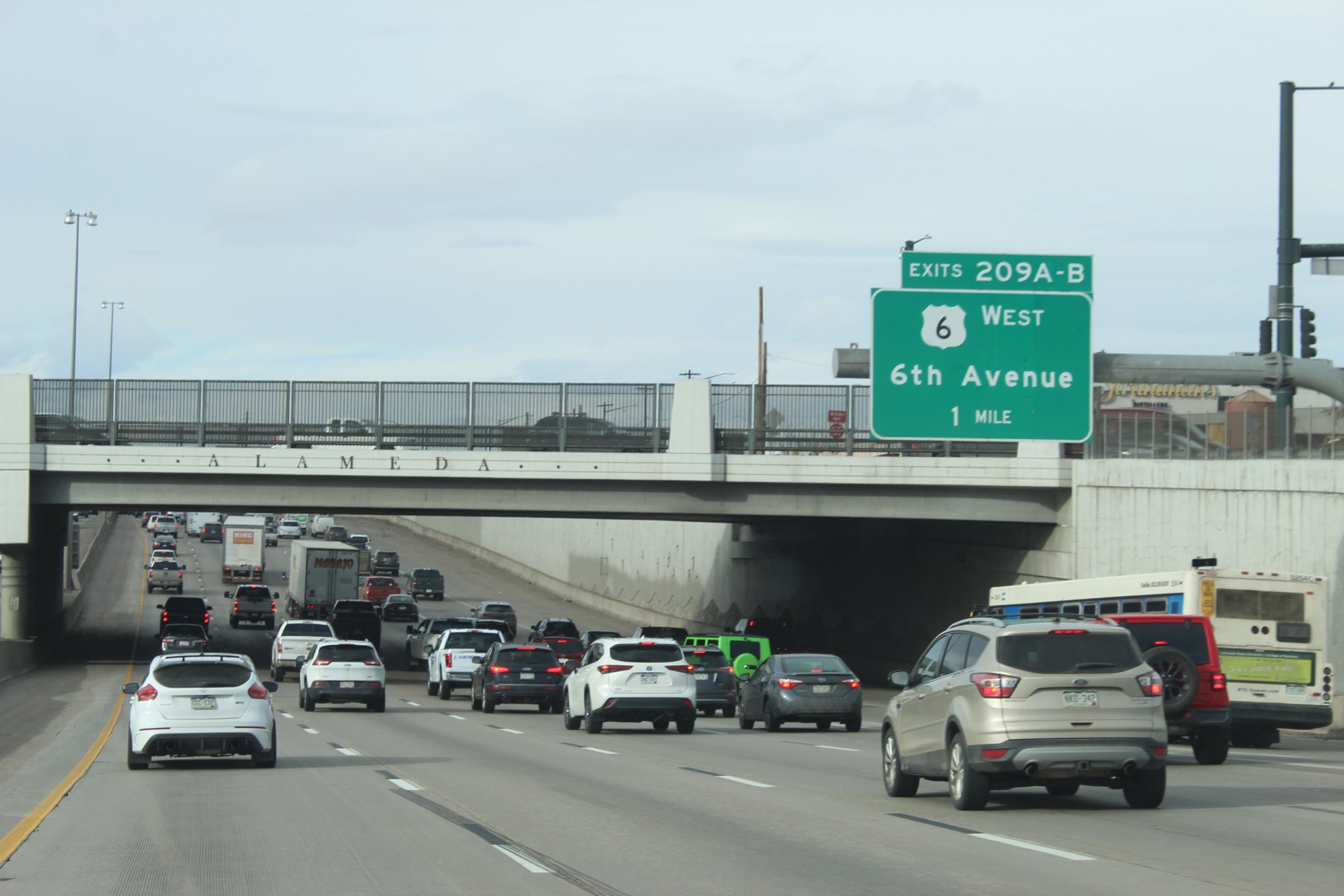
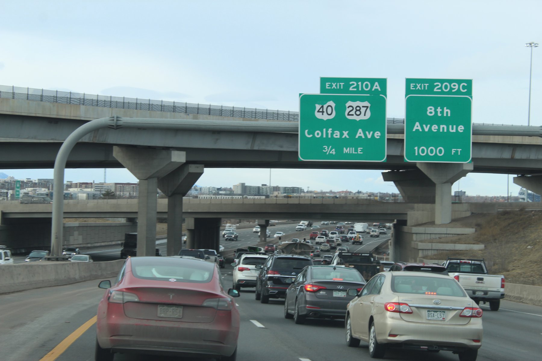
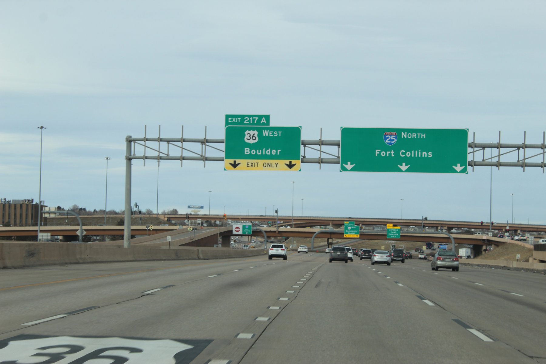
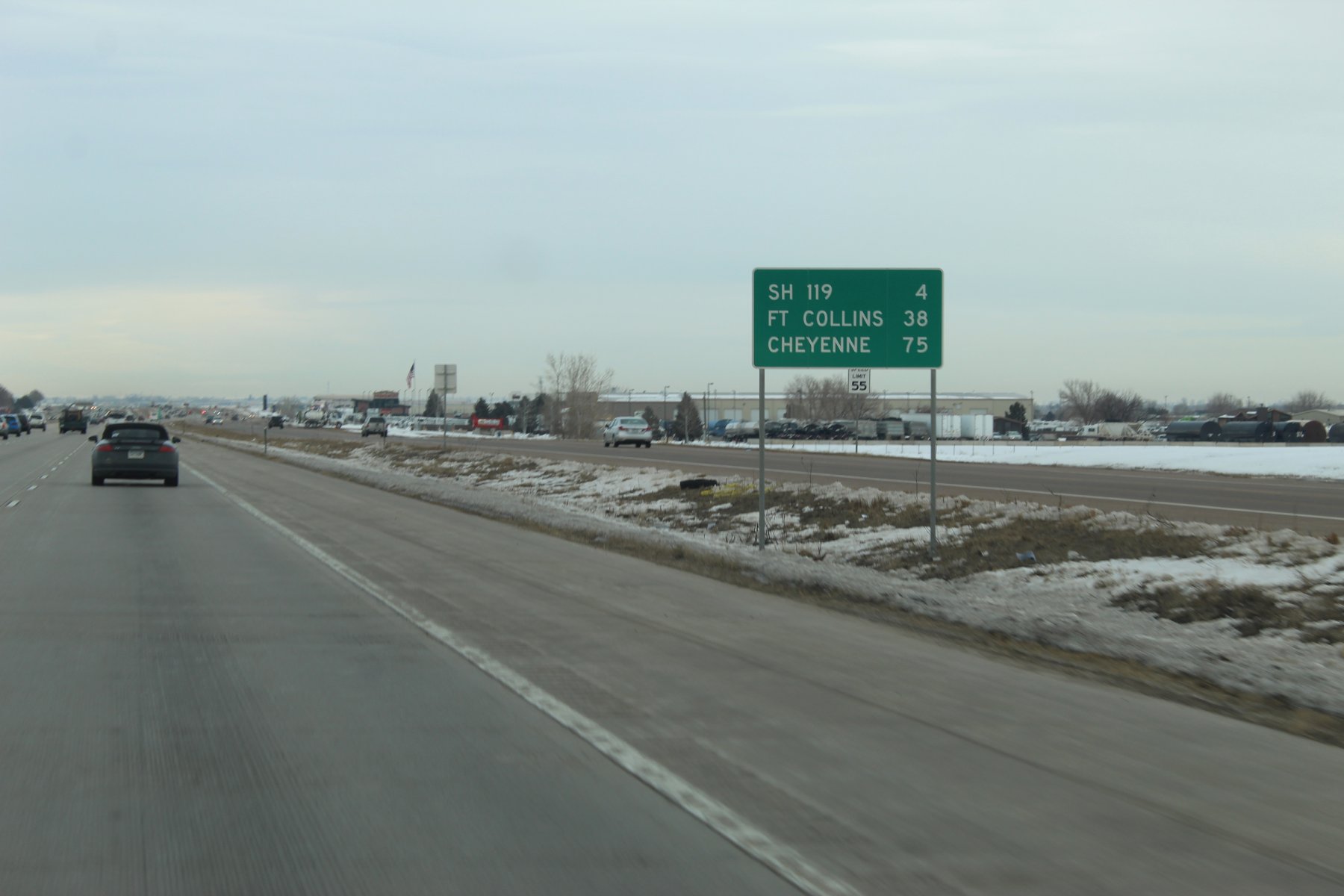
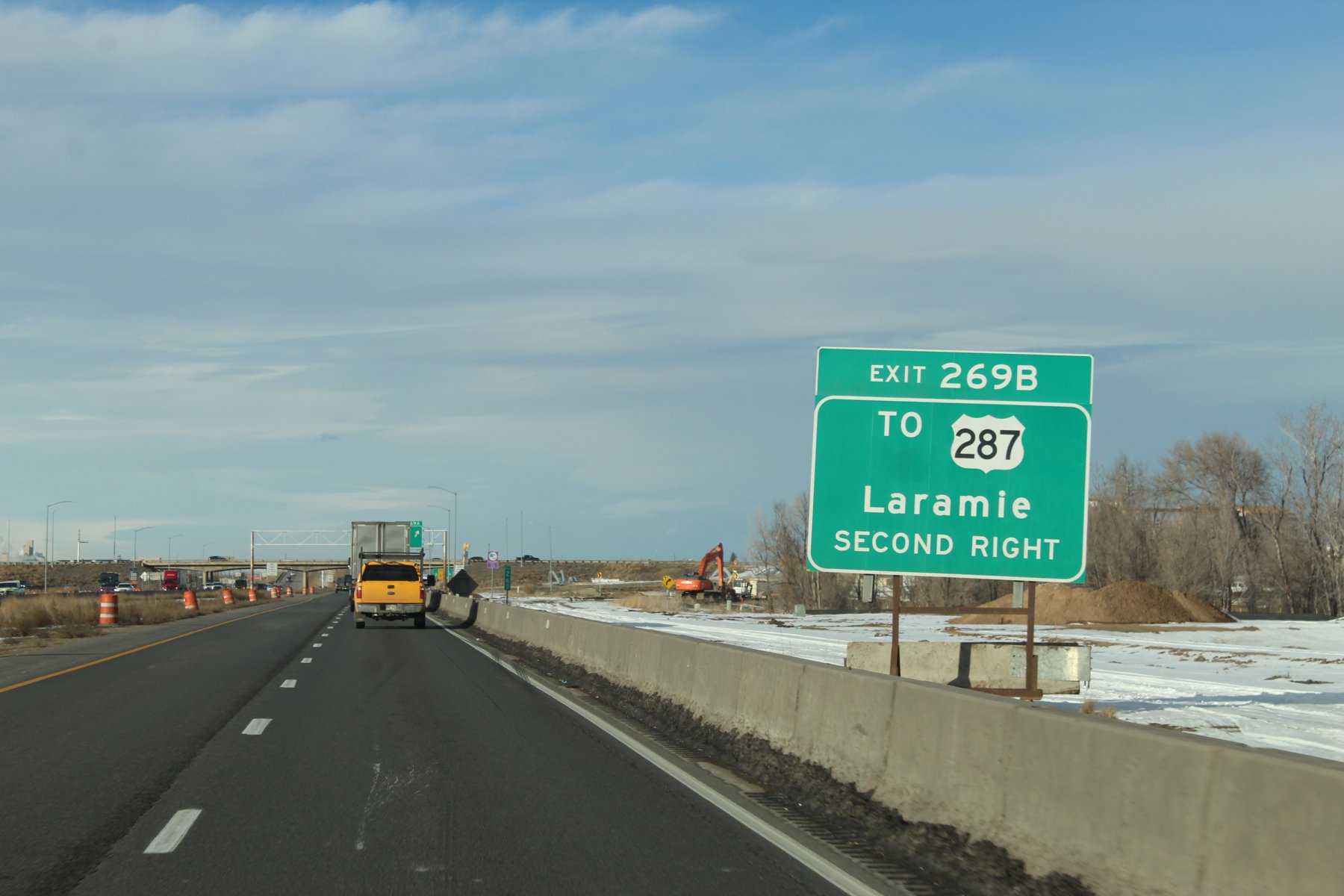
made it safely to stop 6 (Fort Collins, Colorado) on the mid-winter taco adventure with plenty of sun to spare
Stayn over 2 nights here in Fort Collins
8 hours and just over 400 miles
3300 mile treK so far.
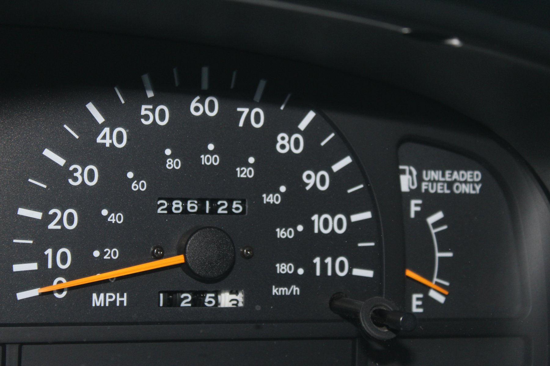


there were no noticeable markings for the end of US-285 coming from the south/west so i wheeled it abit after i25 junction and made a circleback
this is the east/north Start of US-285 heading south/west


made it safely to stop 6 (Fort Collins, Colorado) on the mid-winter taco adventure with plenty of sun to spare
Stayn over 2 nights here in Fort Collins
8 hours and just over 400 miles
3300 mile treK so far.

Last edited:
JayQQ97
MW surVivor ... clutched. 367k on the 0D0
DAY 7 -
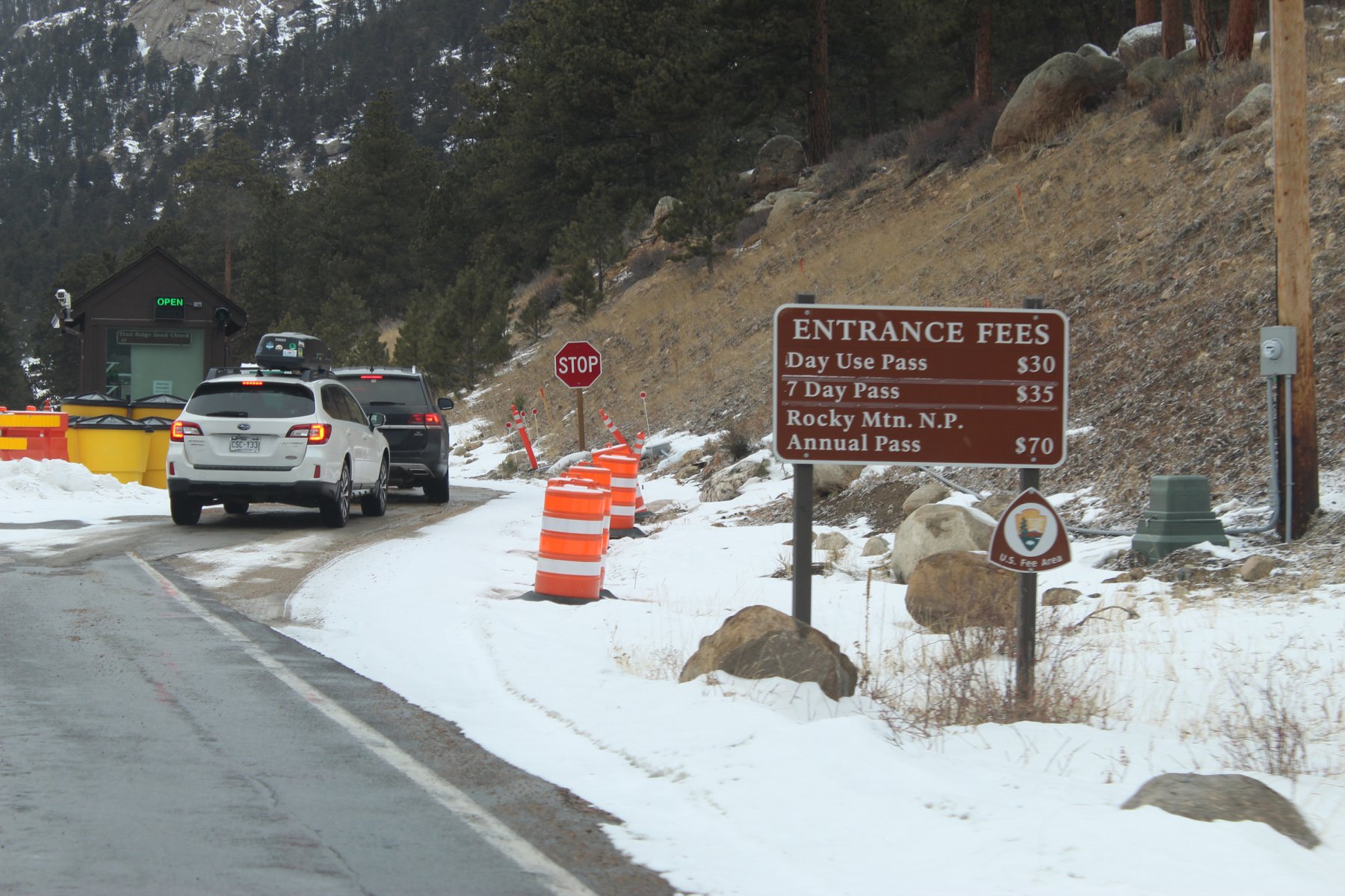
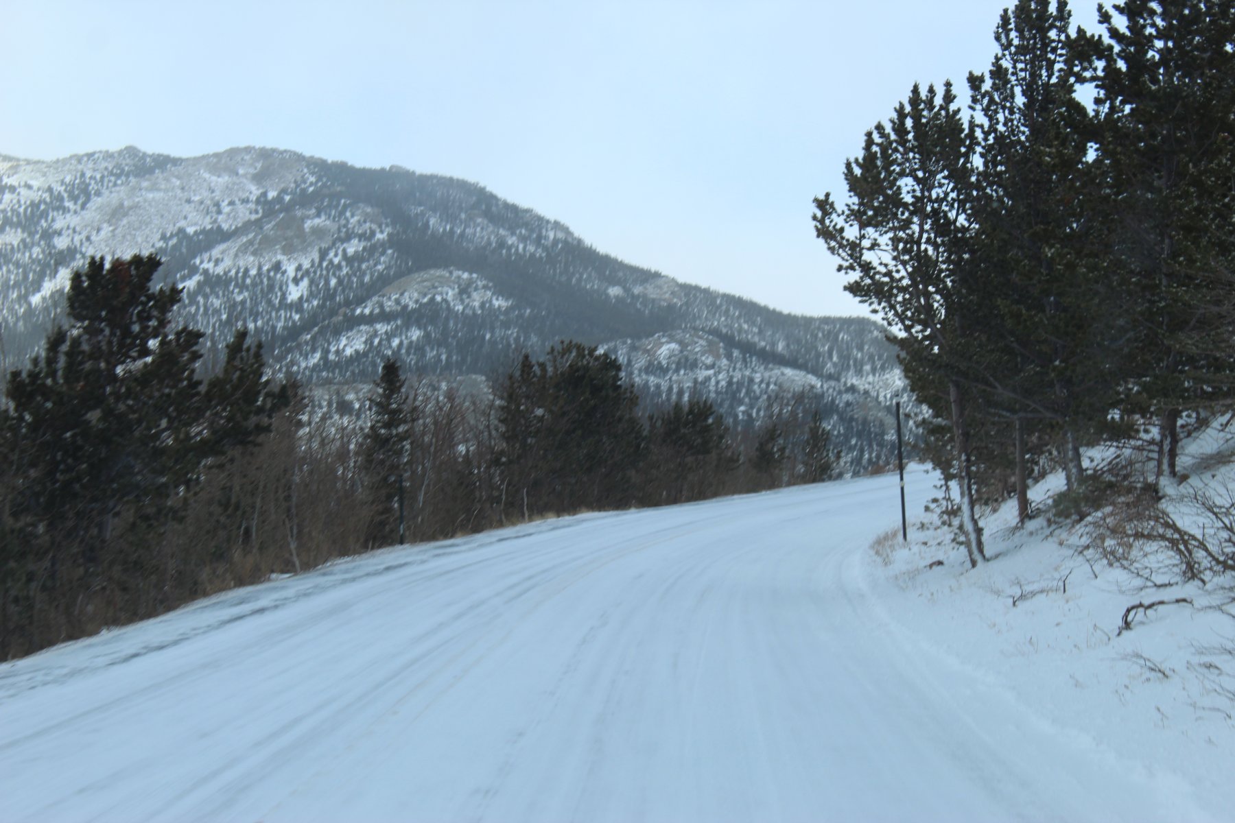
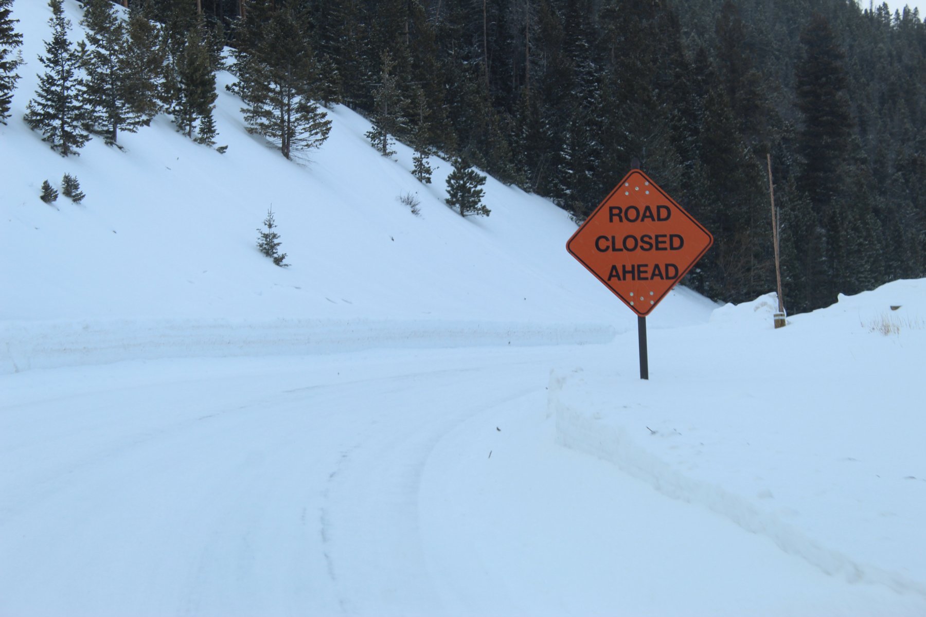
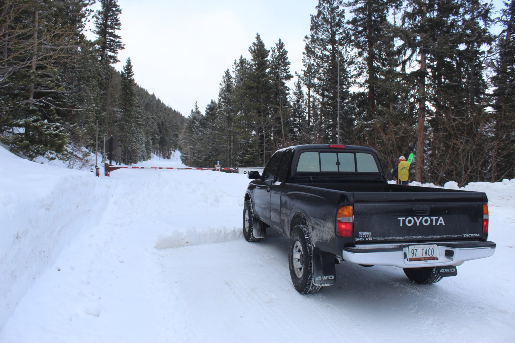
going to RMNP and do some winter wheeling to see if that US-34 is closed yet again
this is the 4th time since late 1995 that I have been in this area...
cloudy start to the morning west out of Fort Collins headed to Estes Park
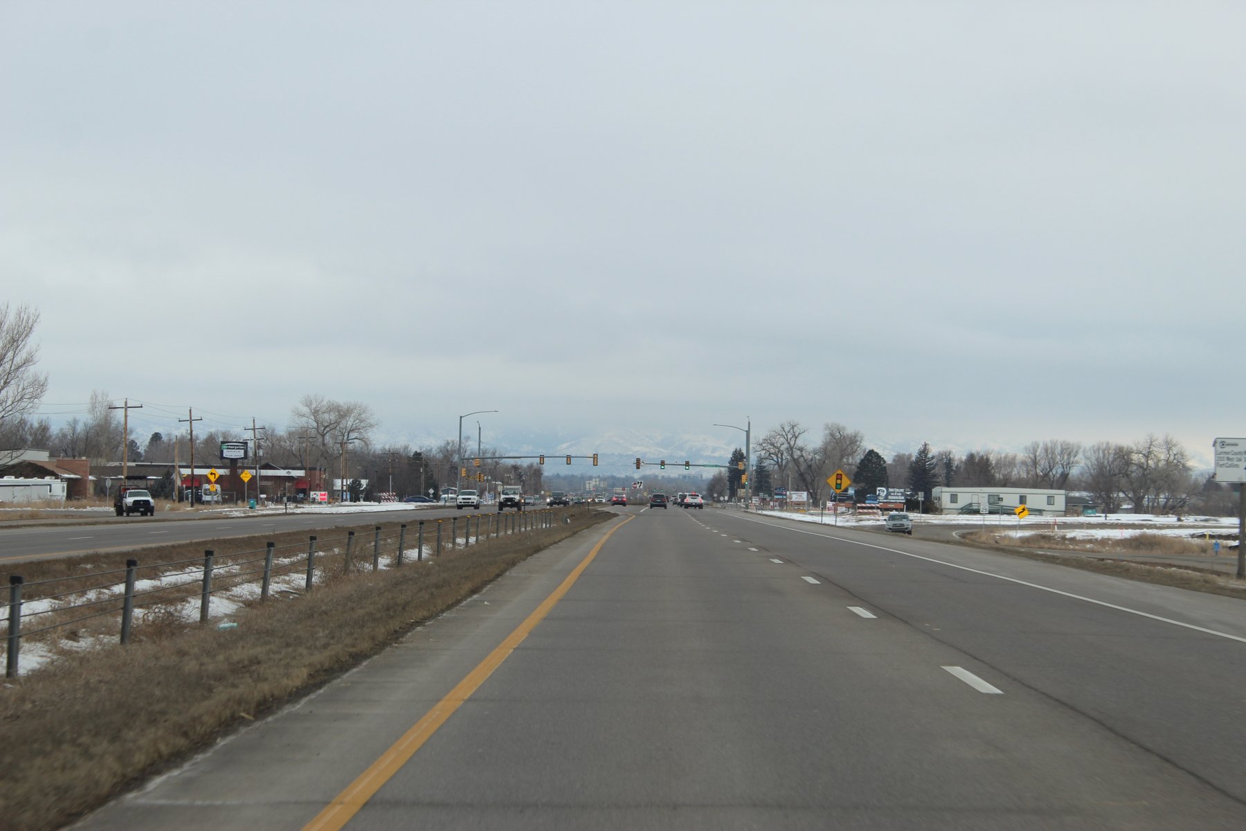
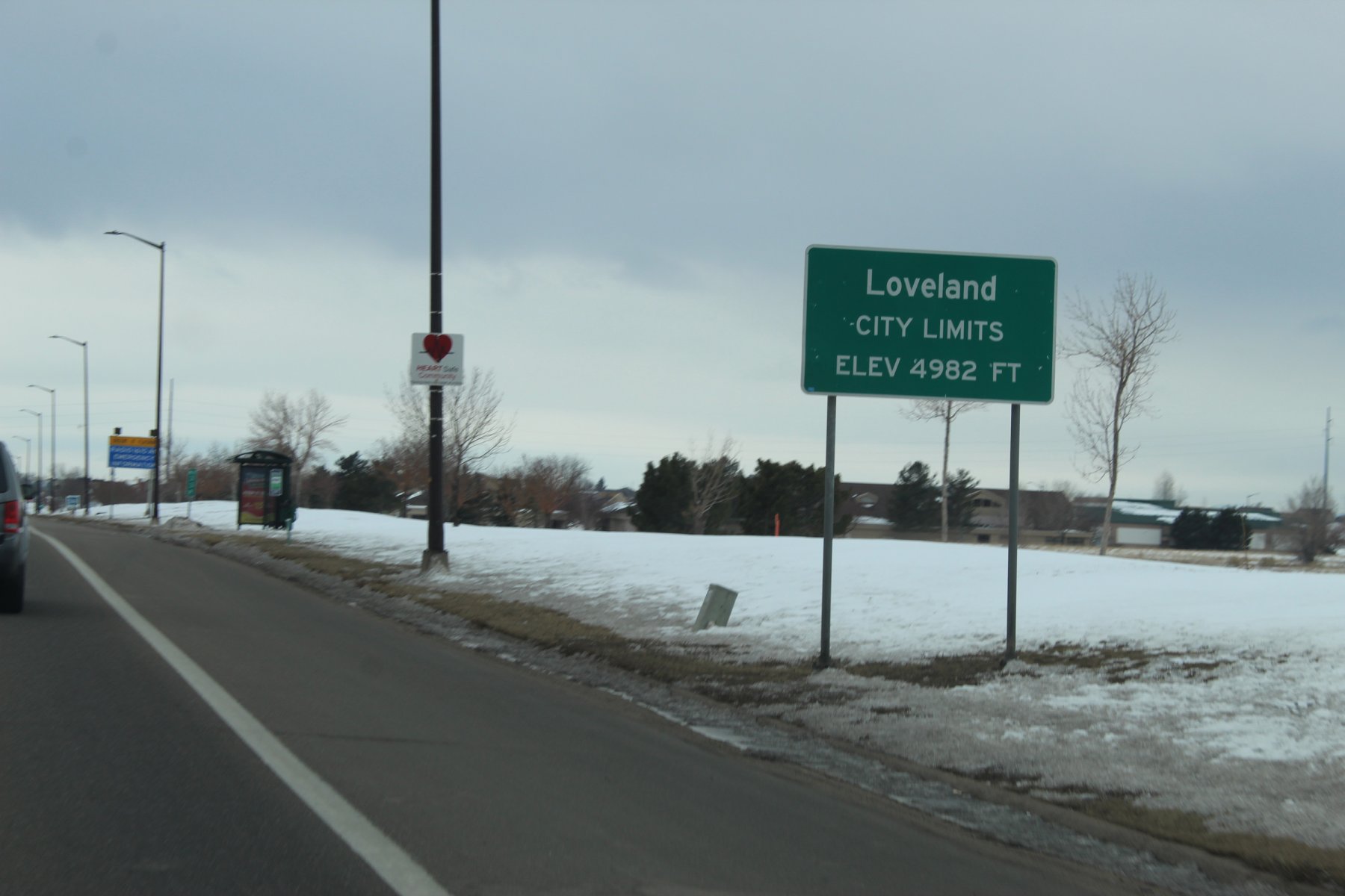
wheeling through LoveLand
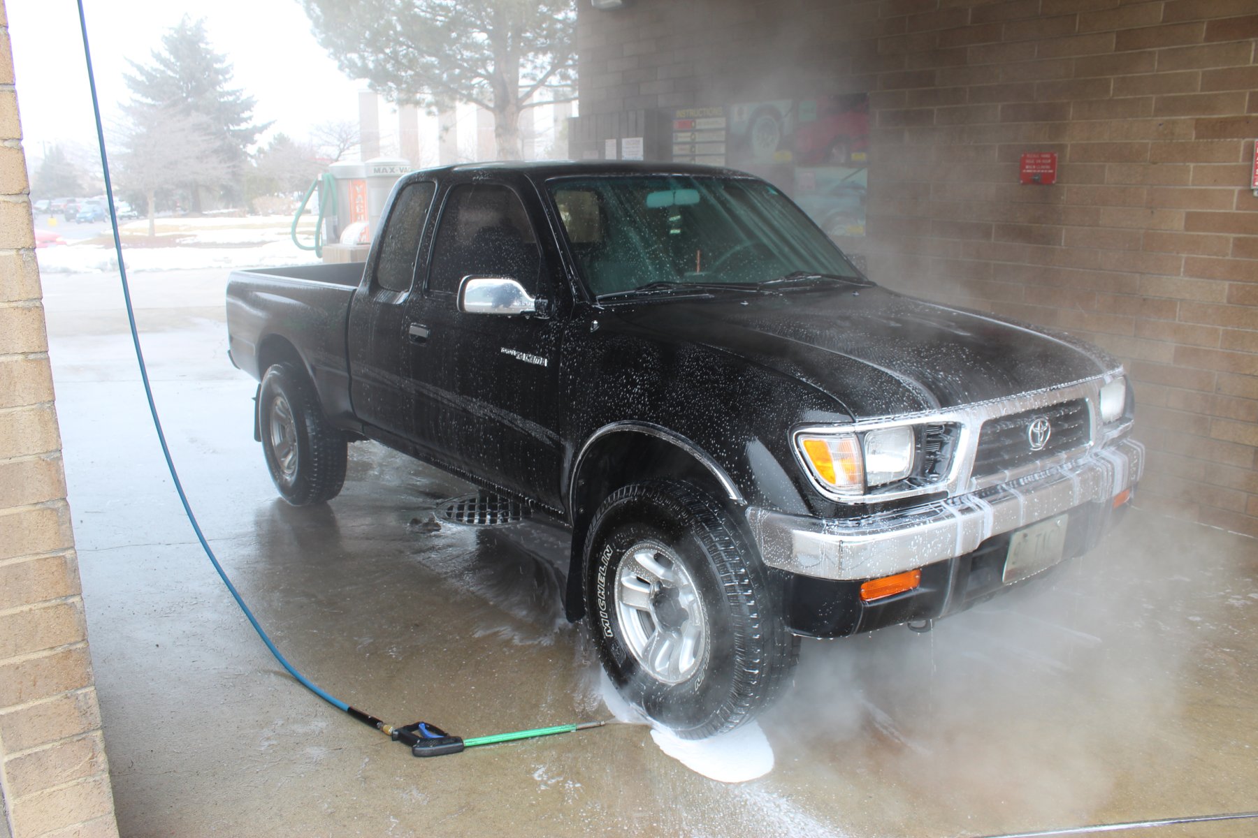
needed a wash so i washed it in LoveLand
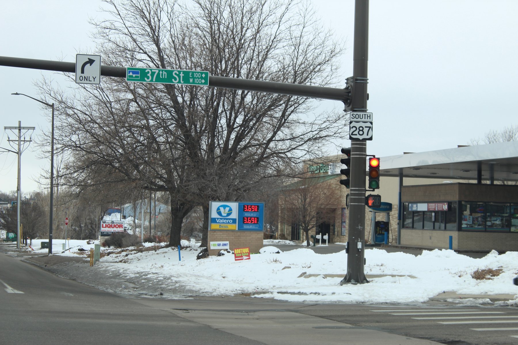
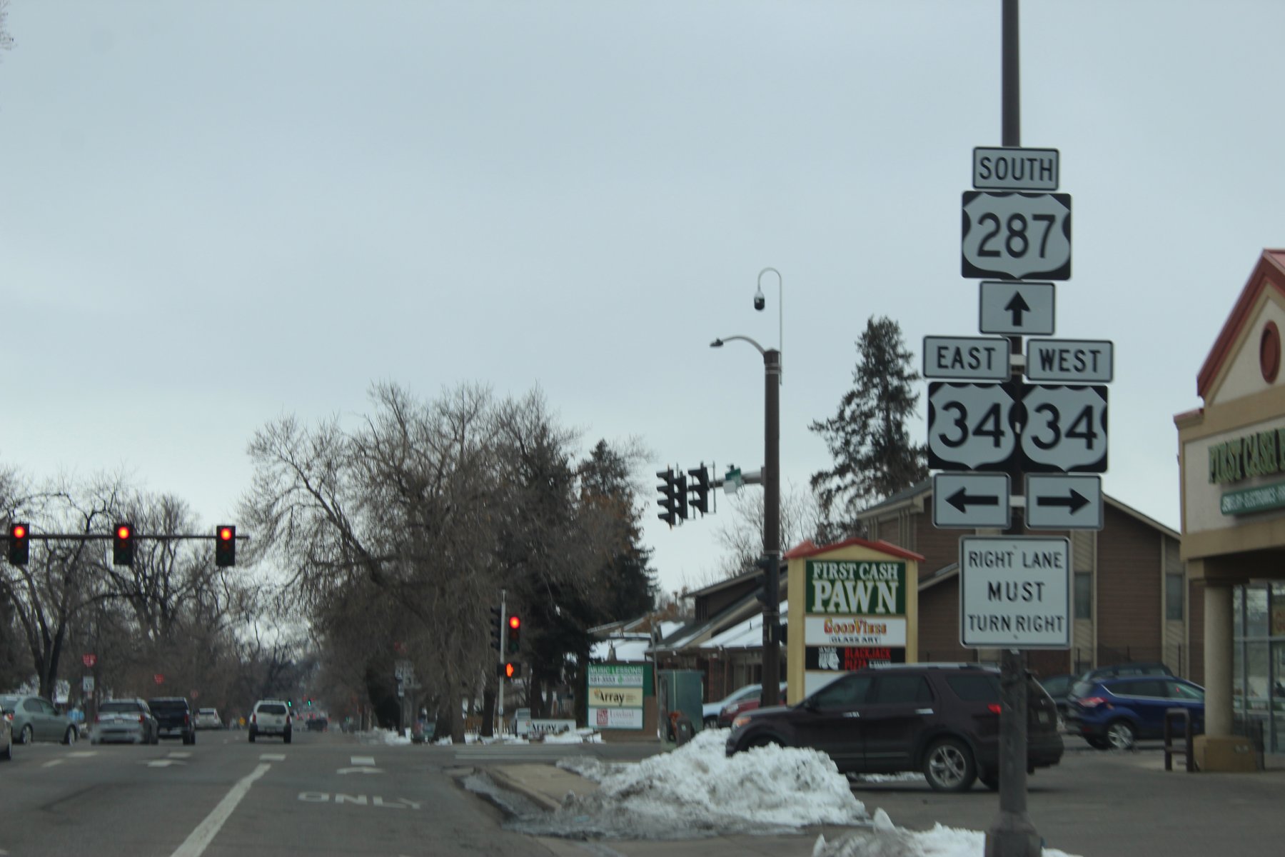
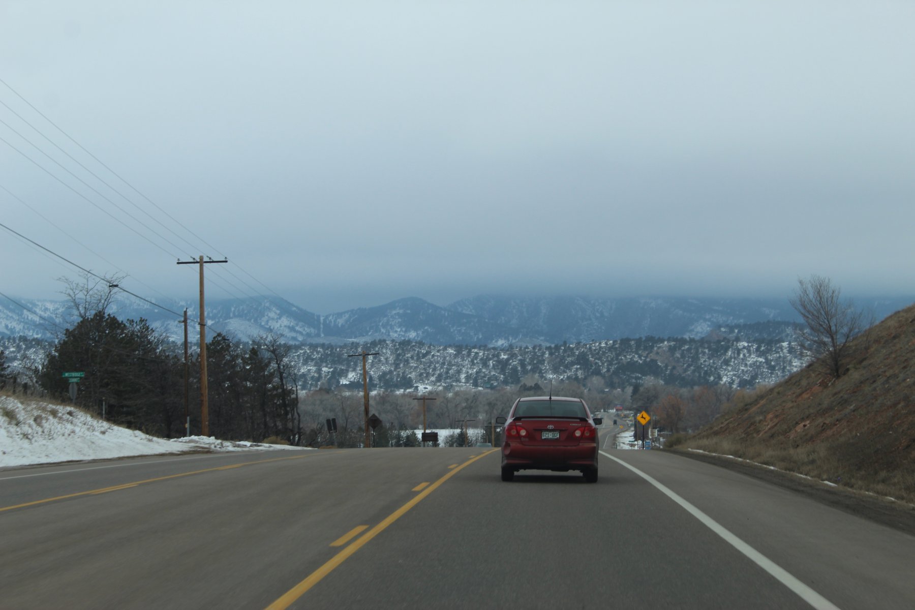
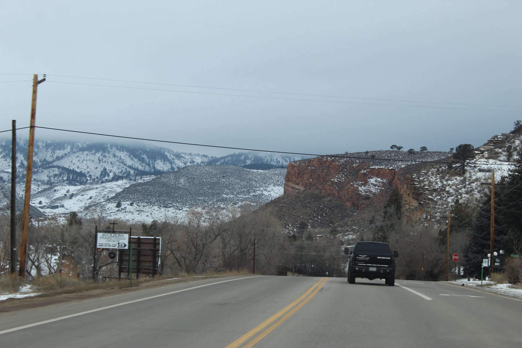
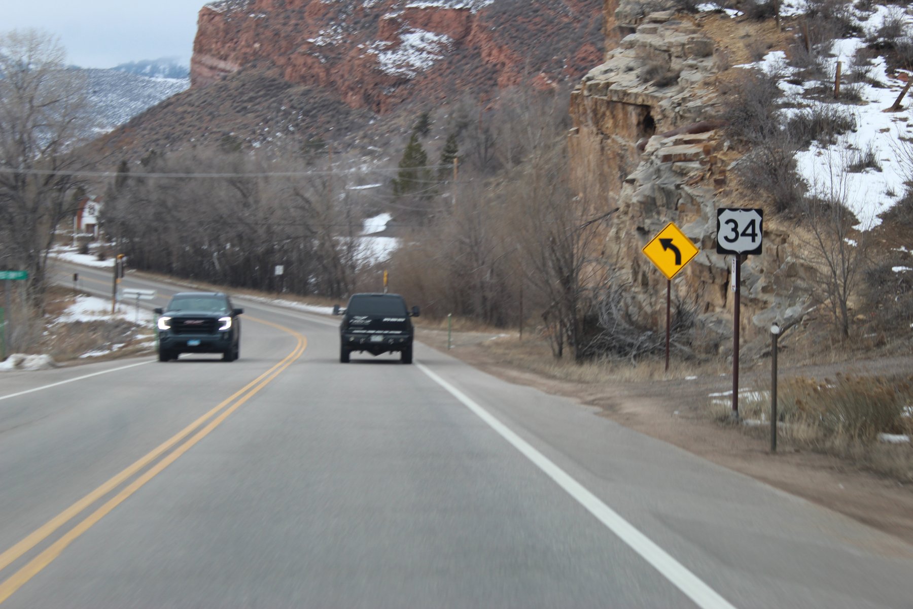
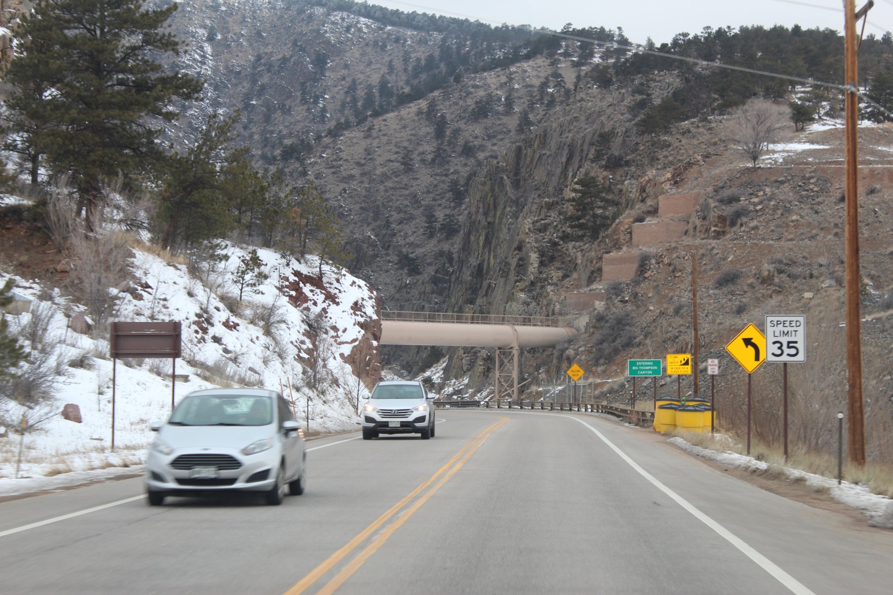
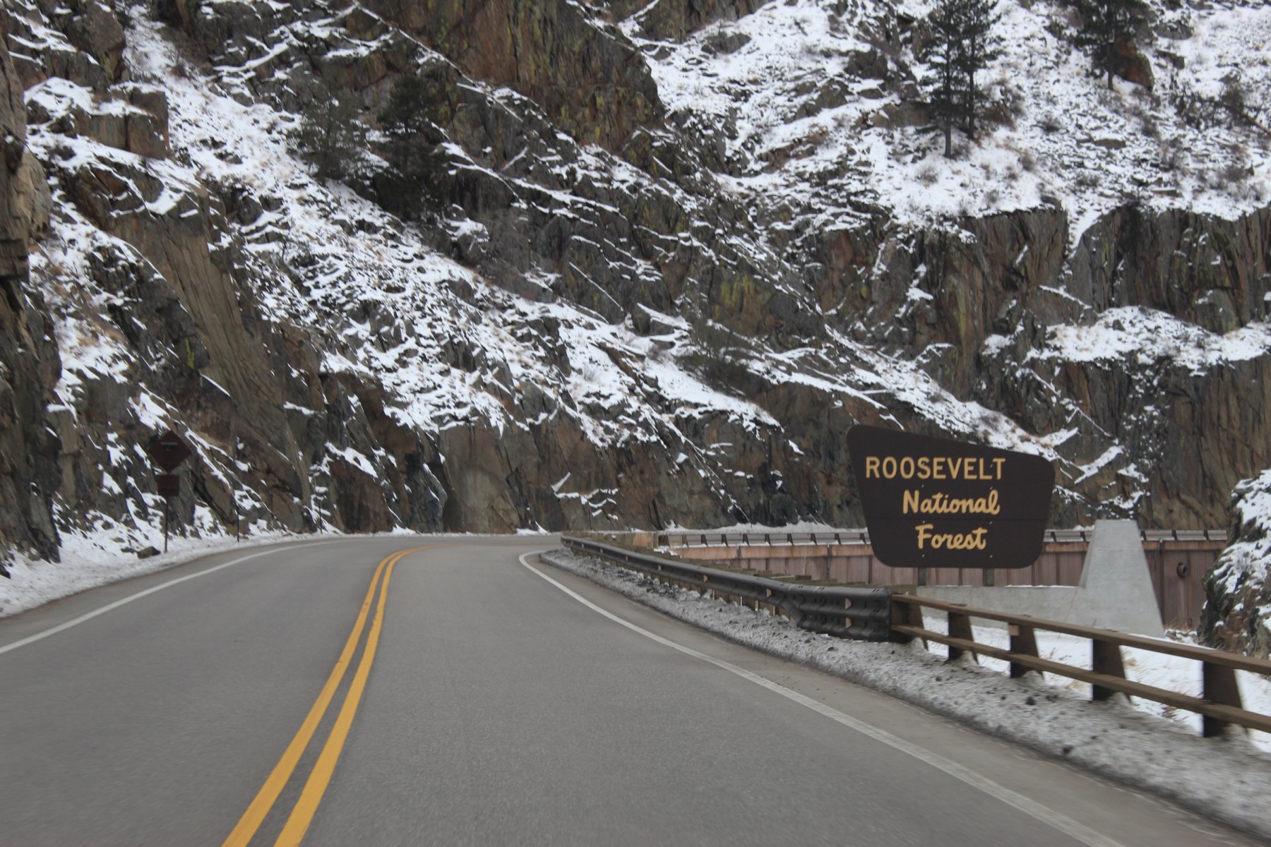
going to RMNP and do some winter wheeling to see if that US-34 is closed yet again
this is the 4th time since late 1995 that I have been in this area...
cloudy start to the morning west out of Fort Collins headed to Estes Park

wheeling through LoveLand

needed a wash so i washed it in LoveLand


Last edited:
JayQQ97
MW surVivor ... clutched. 367k on the 0D0
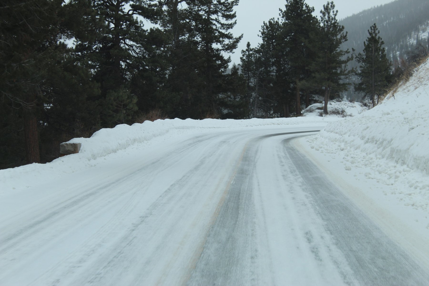
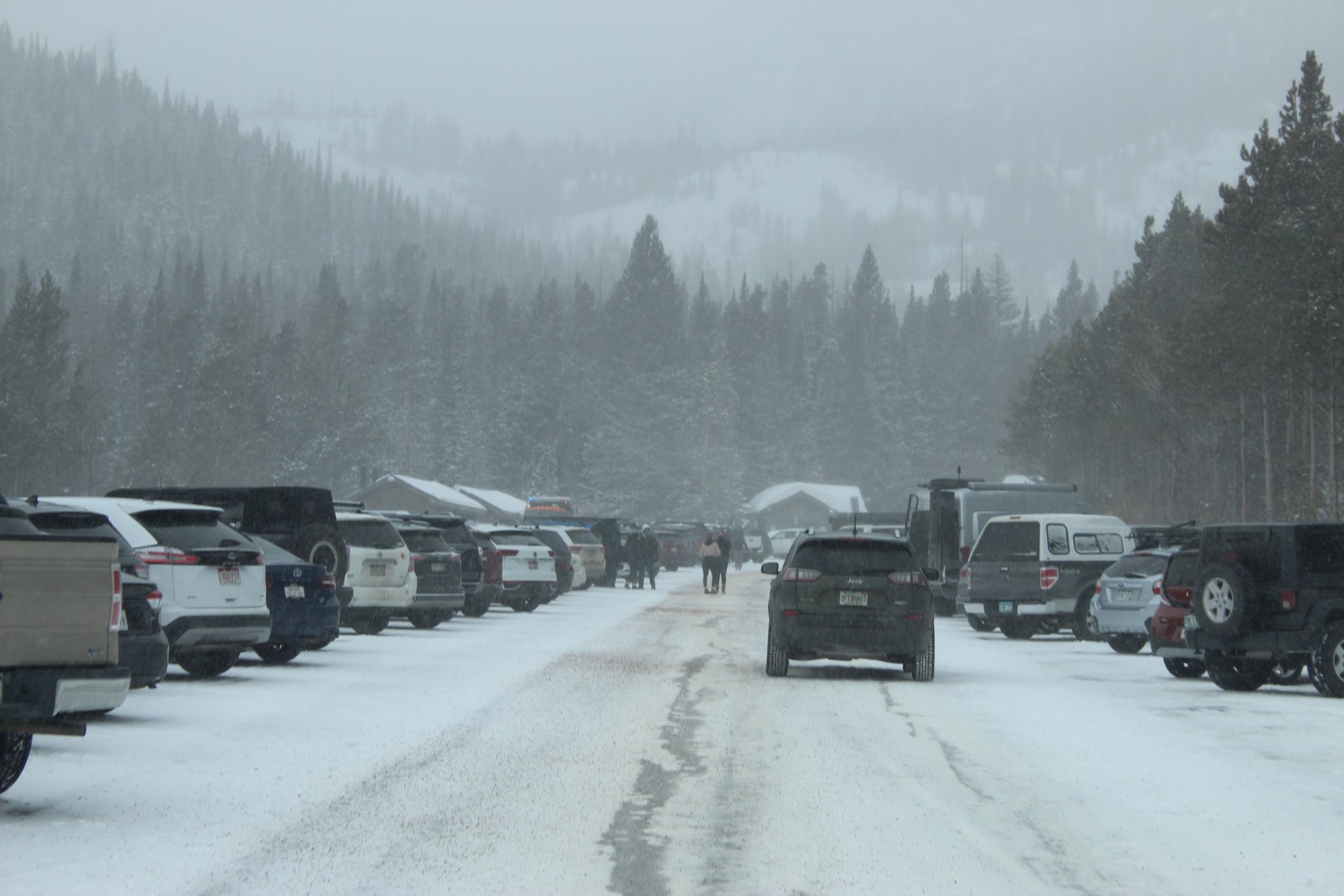
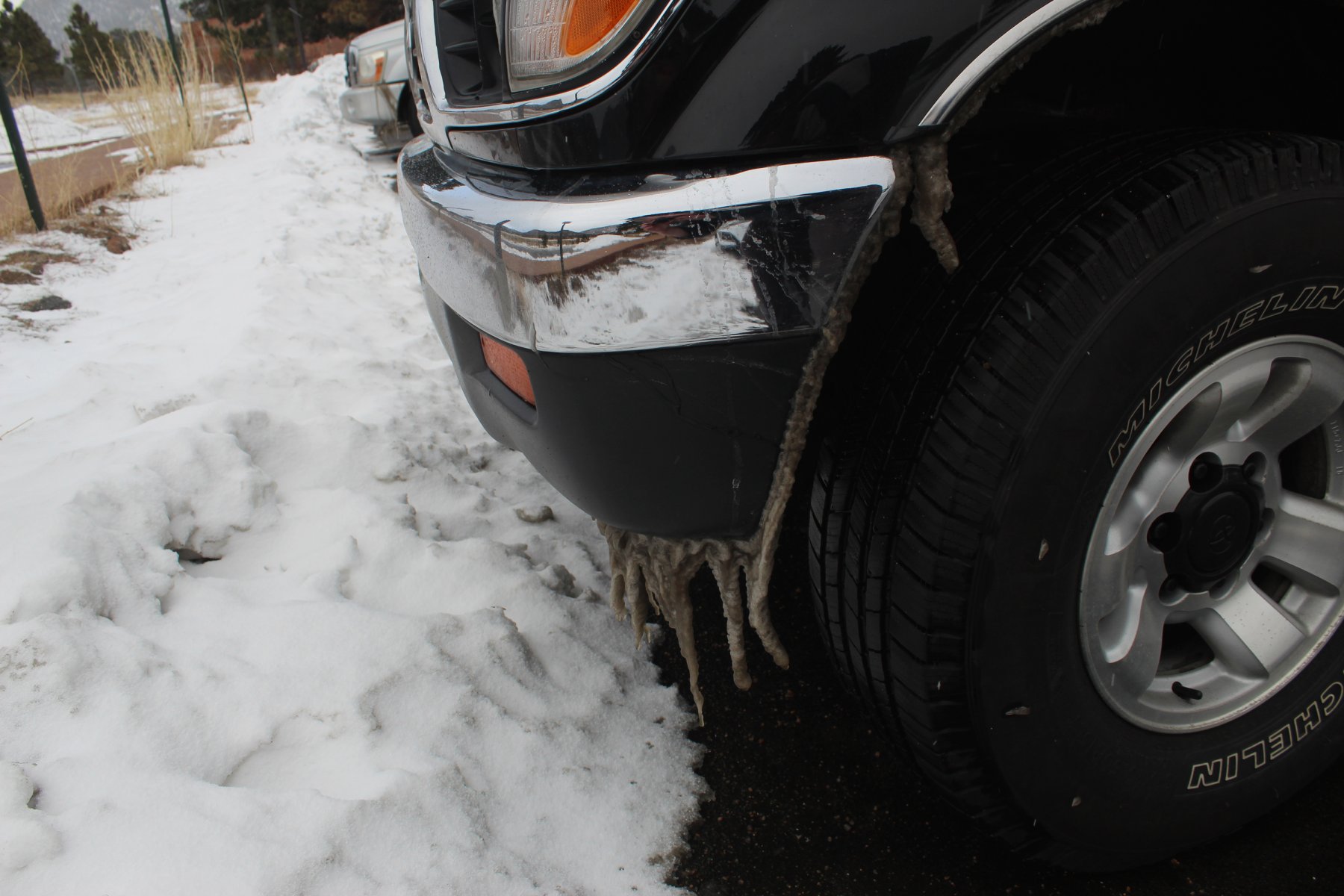
.... icky Colorado winter sloppp
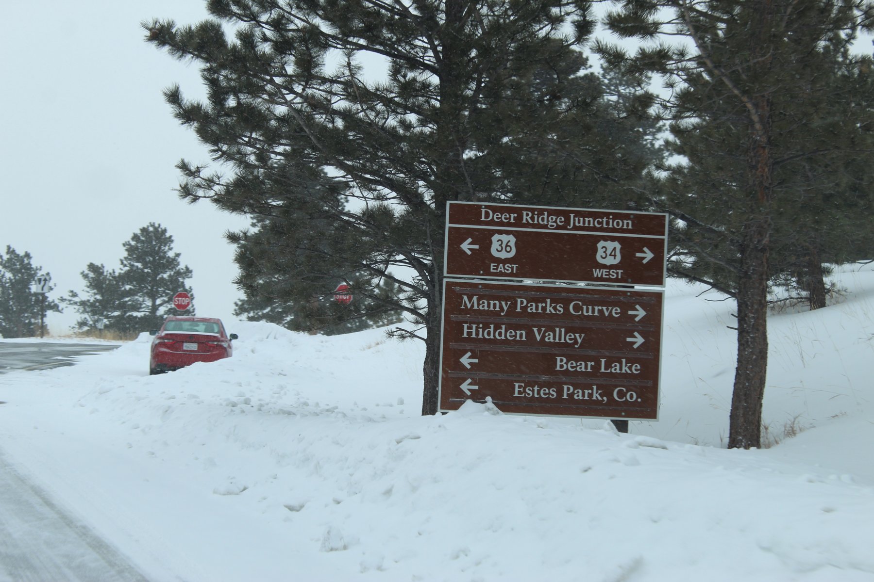
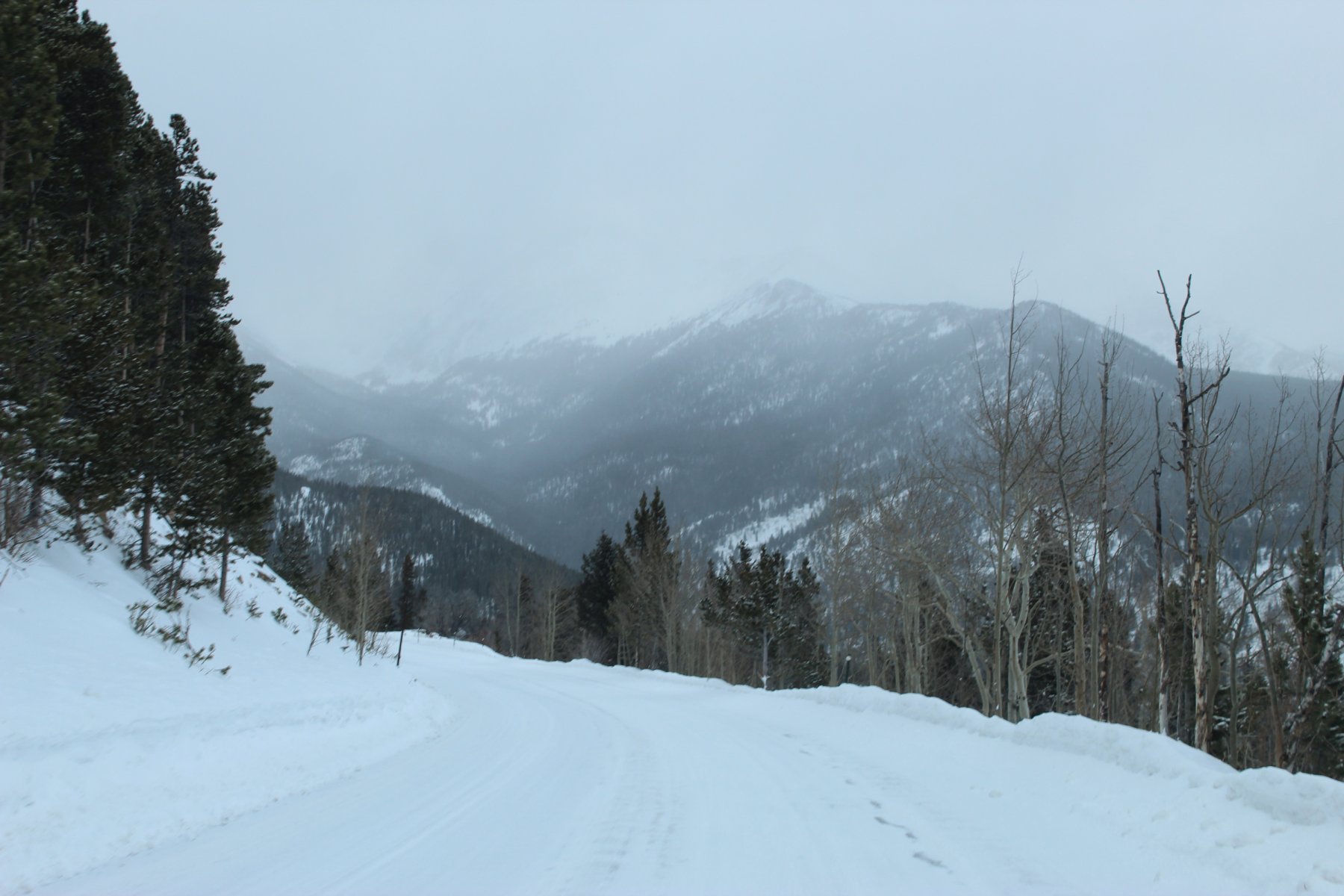
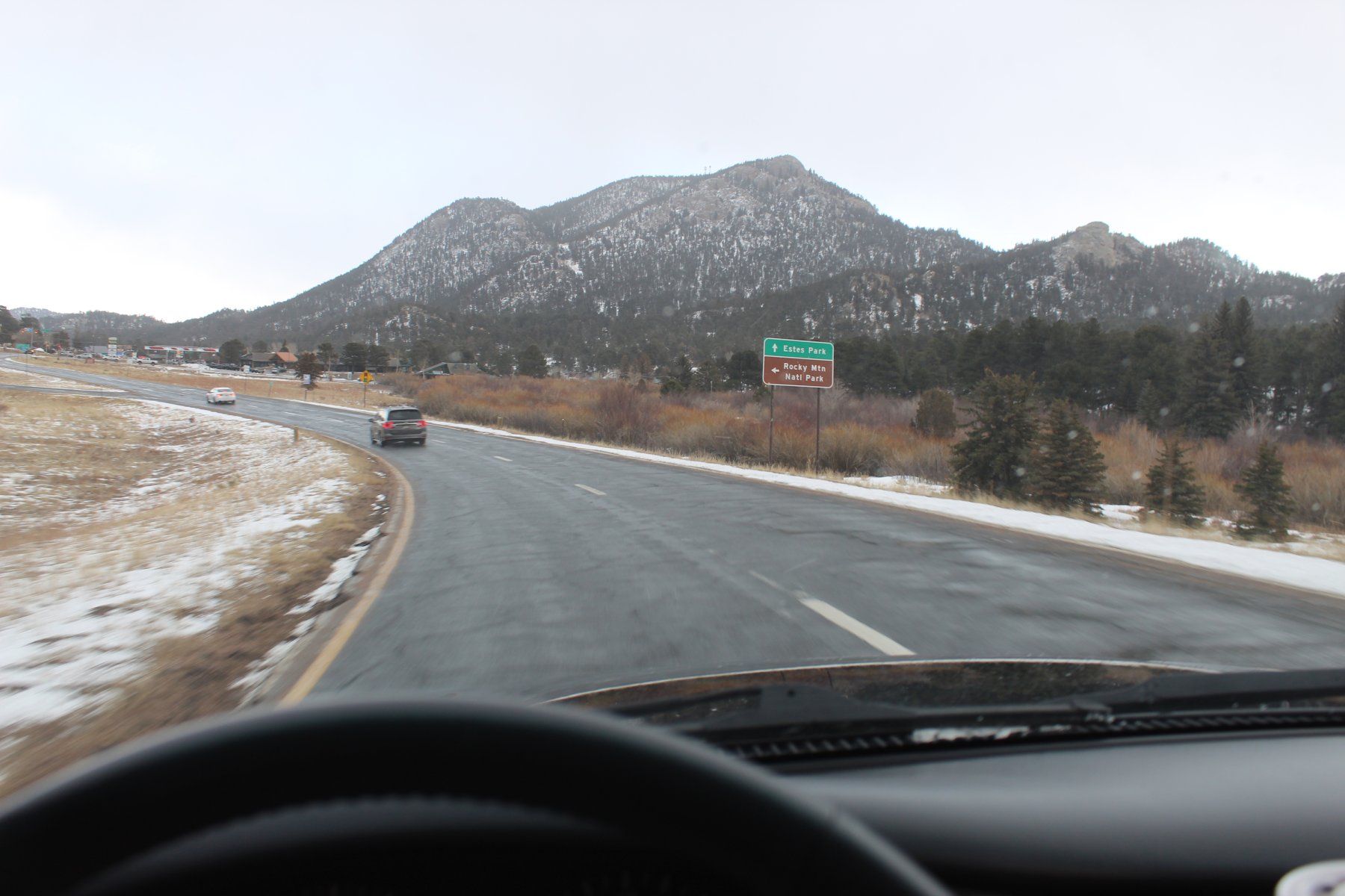
leaving RMNP for a little adventure south in the foothills to i70 and the tunnel
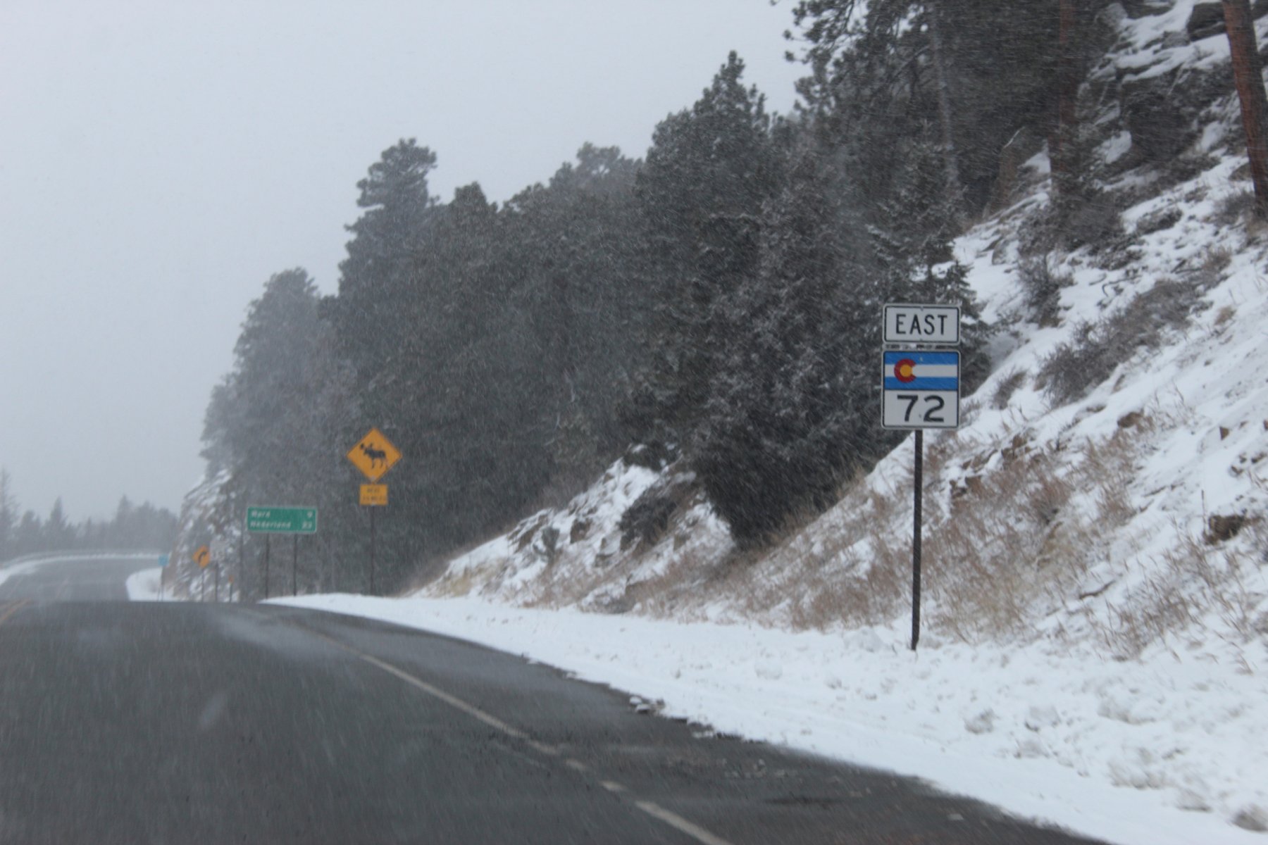
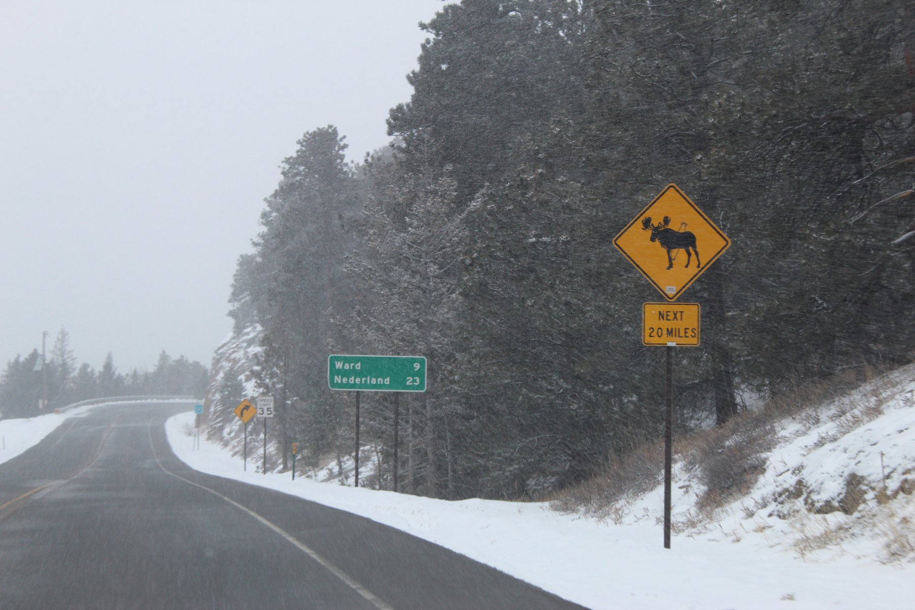
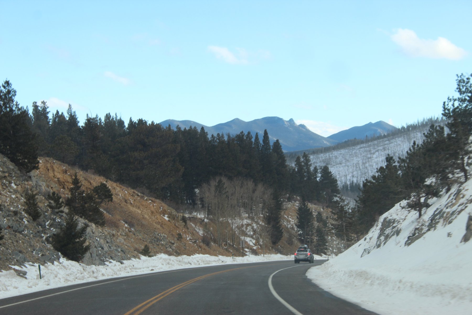
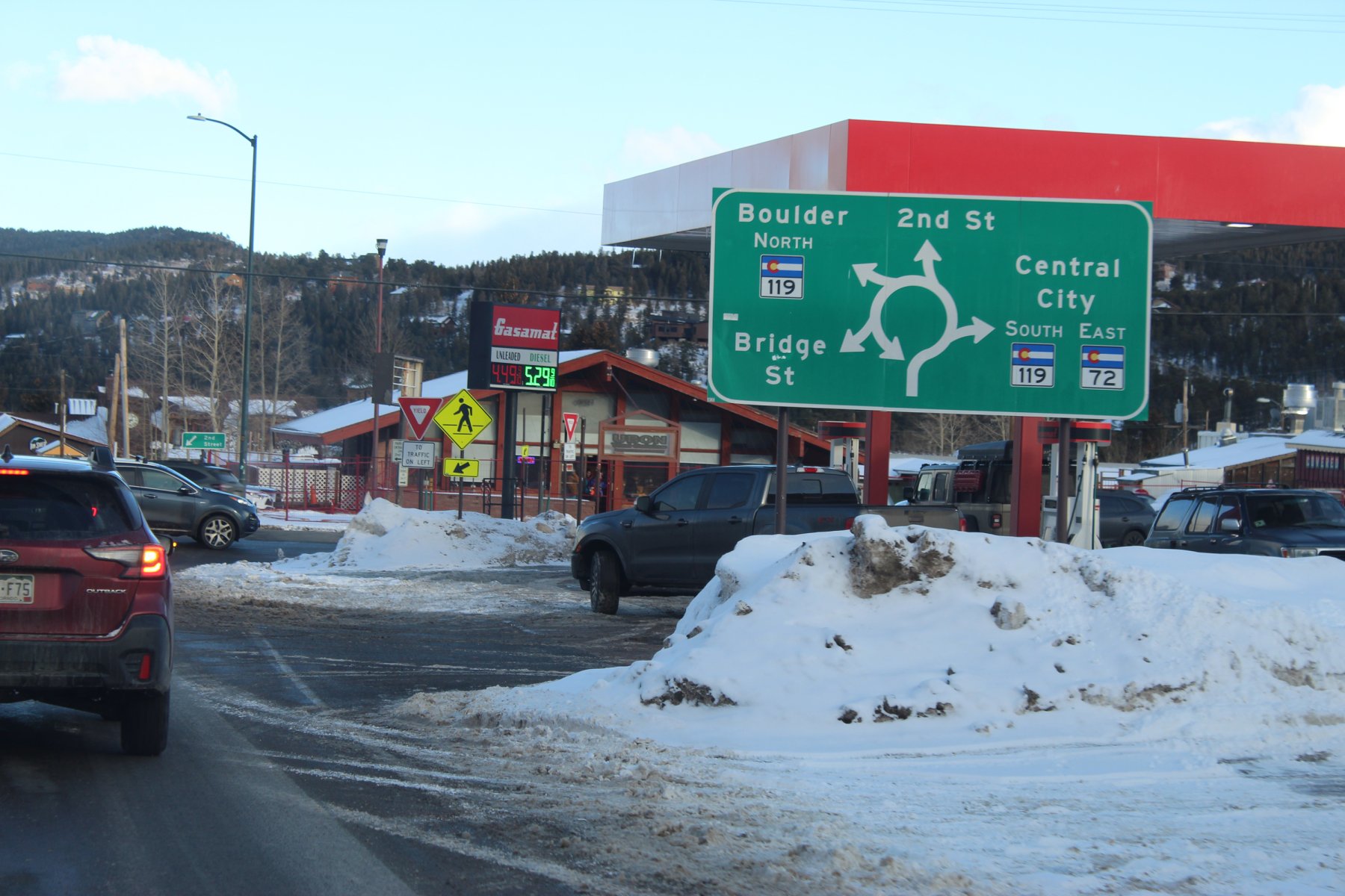
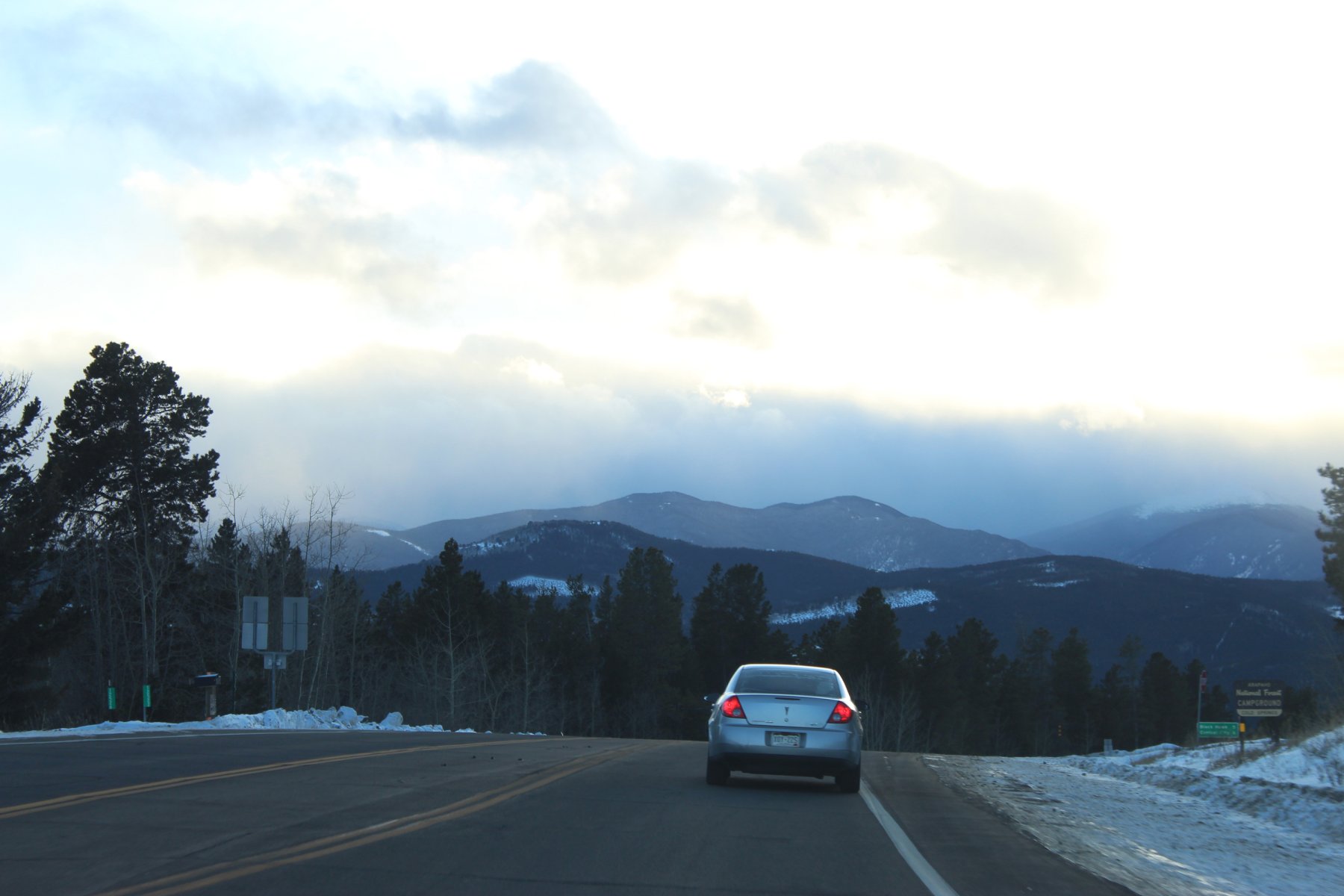
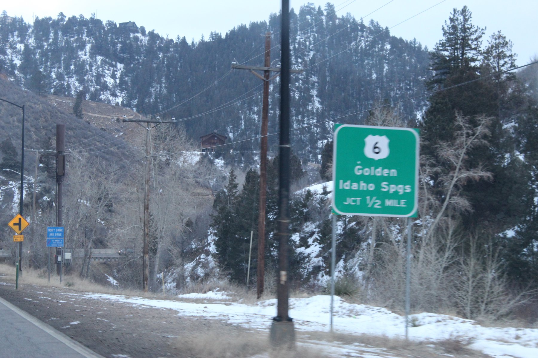
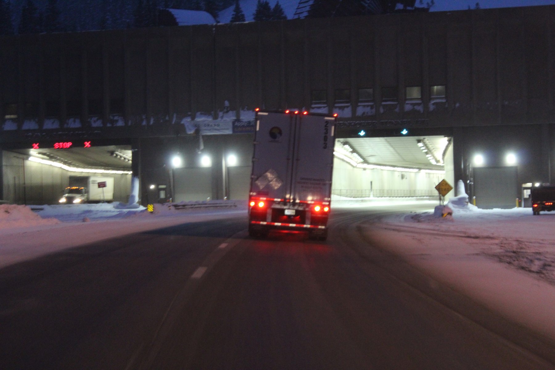
wheeled through the Eisenhower Tunnel on i70
11158 elevation and cold, probably below zero F
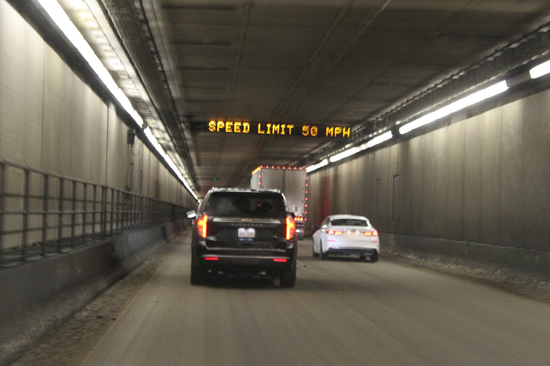
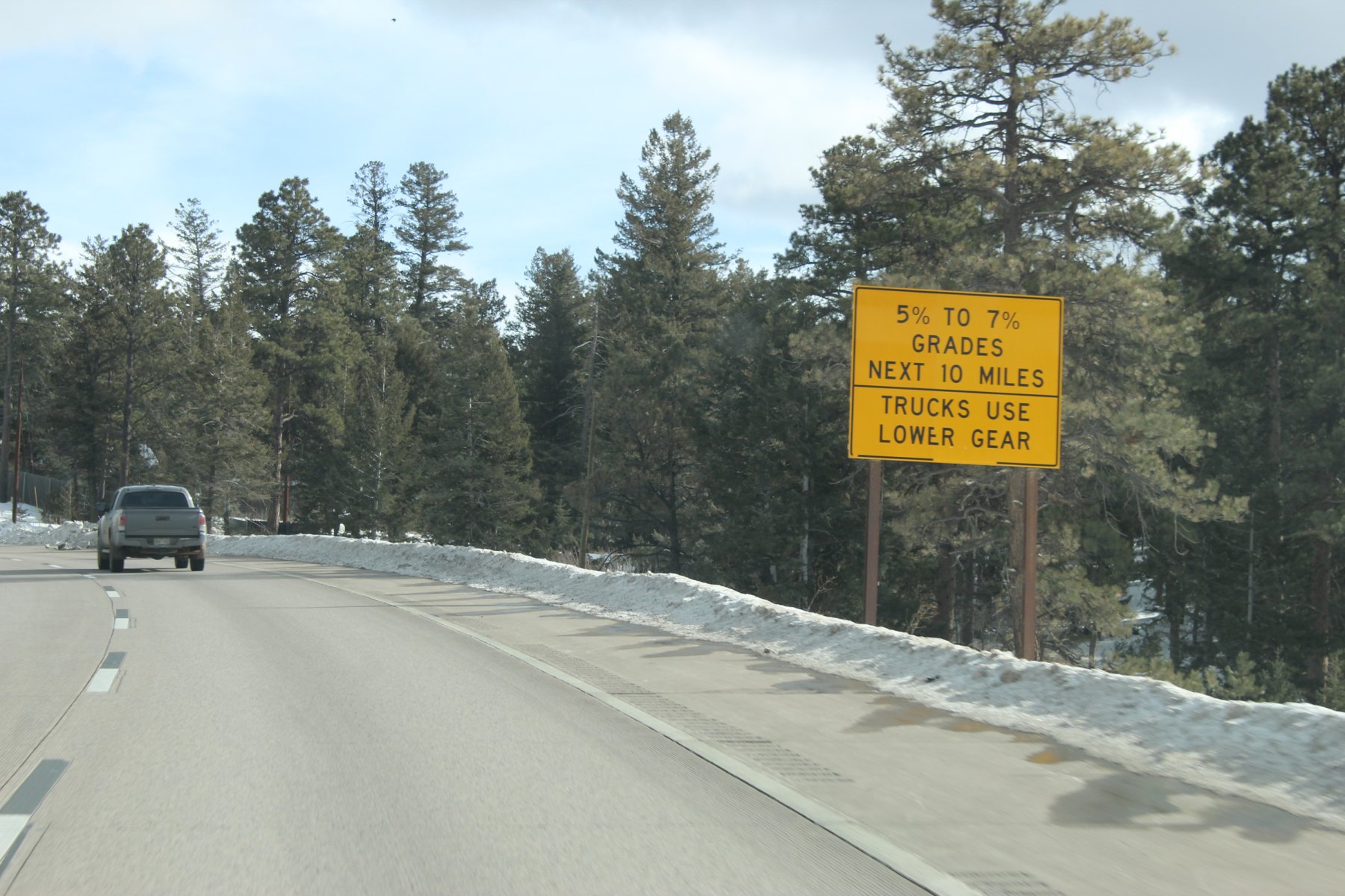
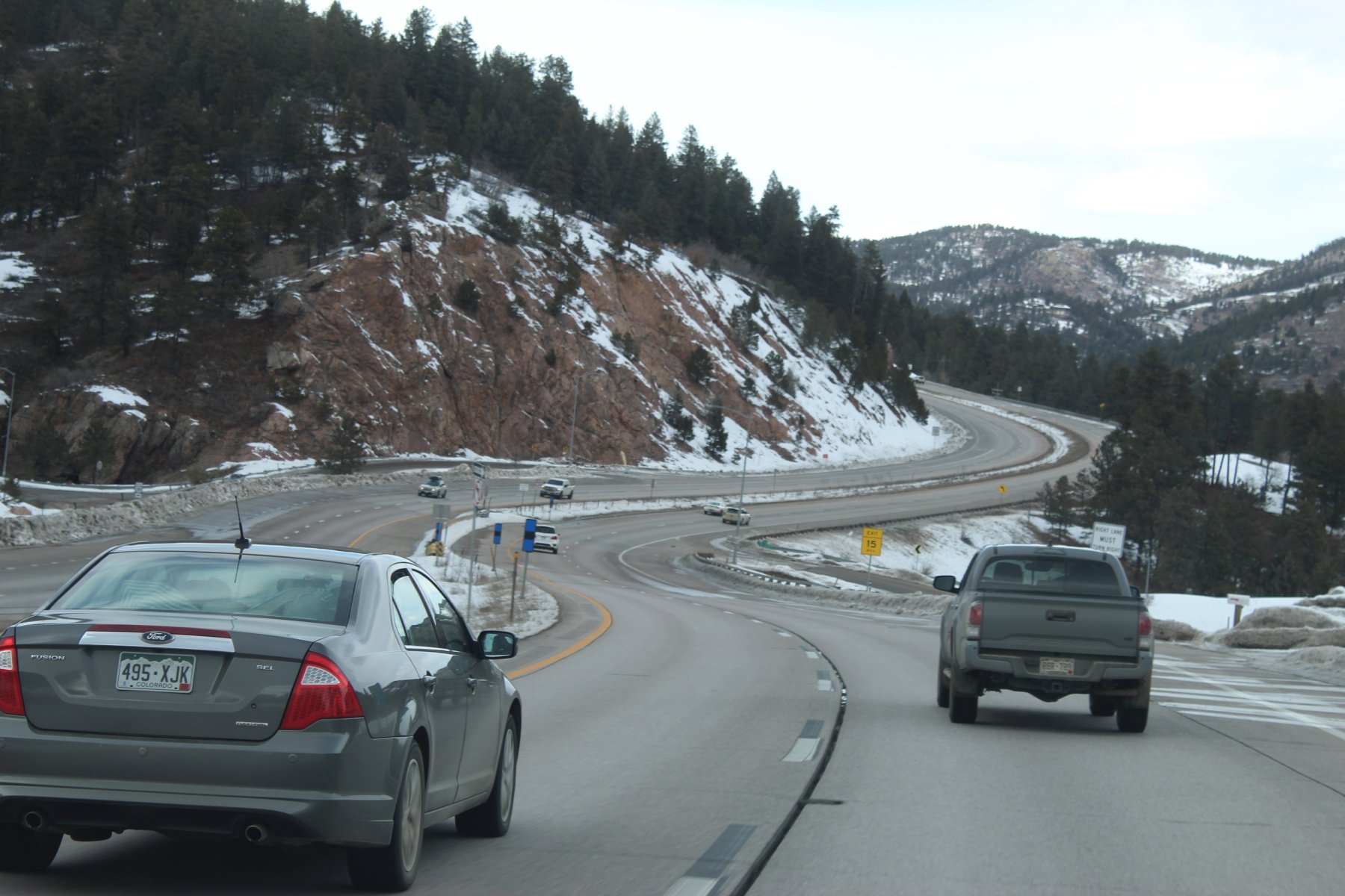
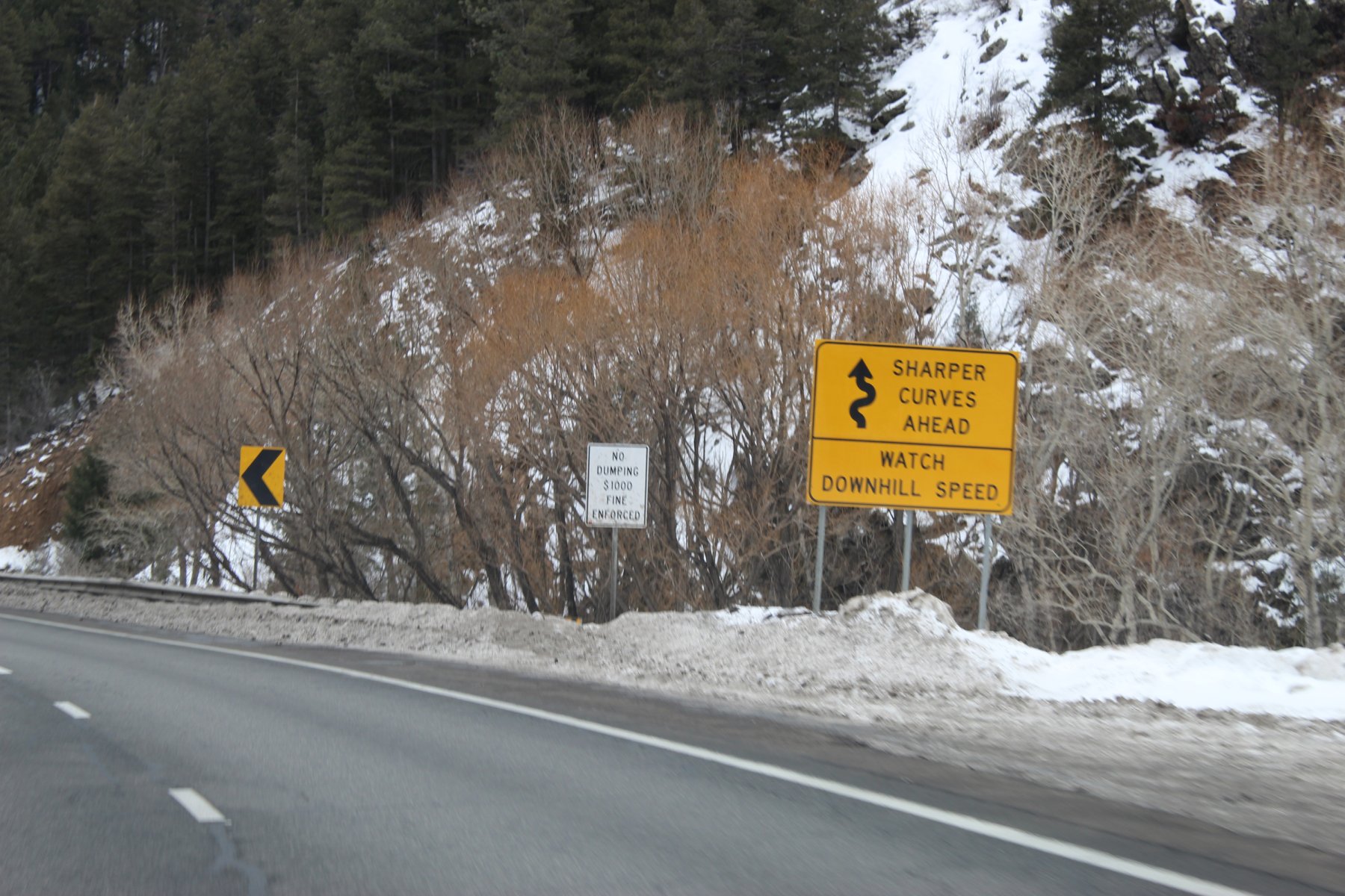
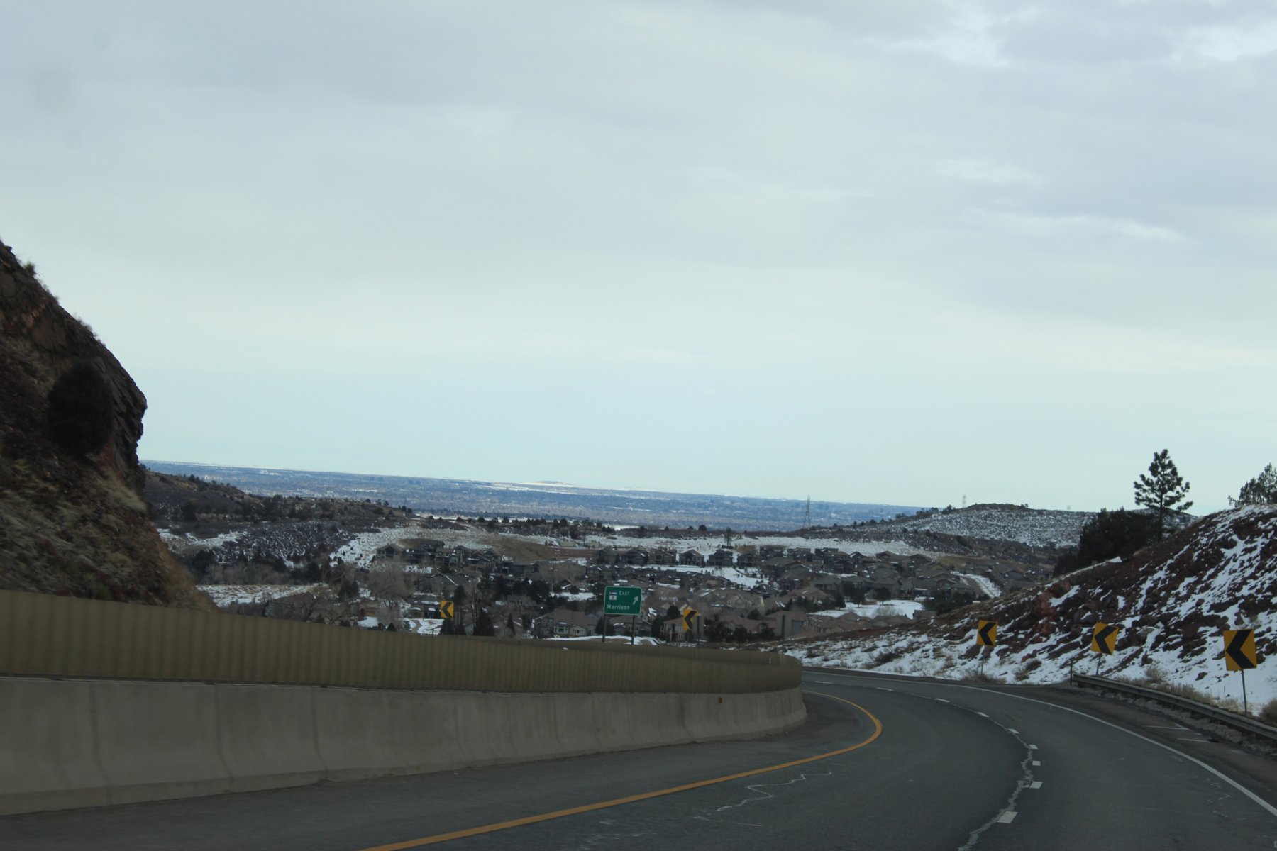
it became too dark for more pics and treacherous winter condition travels on the steep grades
wheeled it to Vail, juiced up, got a Big Mac meal, then turned around and wheeled the i70 back through the tunnel to Denver/FtCollins and called it a day
there were a few accidents and/or stalls back to the tunnel on the steep slick inclines with traffic backed up quite away
it posed a challenge to wheel wilst clutchin' it going atta snails pace in the light snow on slick steep grades at a snails pace

leaving RMNP for a little adventure south in the foothills to i70 and the tunnel


wheeled through the Eisenhower Tunnel on i70
11158 elevation and cold, probably below zero F

it became too dark for more pics and treacherous winter condition travels on the steep grades
wheeled it to Vail, juiced up, got a Big Mac meal, then turned around and wheeled the i70 back through the tunnel to Denver/FtCollins and called it a day
there were a few accidents and/or stalls back to the tunnel on the steep slick inclines with traffic backed up quite away
it posed a challenge to wheel wilst clutchin' it going atta snails pace in the light snow on slick steep grades at a snails pace
Last edited:
JayQQ97
MW surVivor ... clutched. 367k on the 0D0
Day 8: leaving from Fort Collins Colorado and headed to Great Falls Montana
found out the i80/i25 area in Wyoming is still closed due to the winter storm that passed
going to detour it north up US-287 to Wyoming and see where that i25 might be opened to traffic
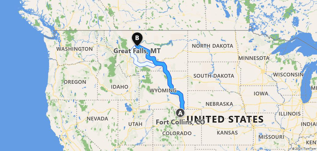

10.5 hours and 716 miles.... it actually ended up taking 17 hours... due to road conditions and reduced speed
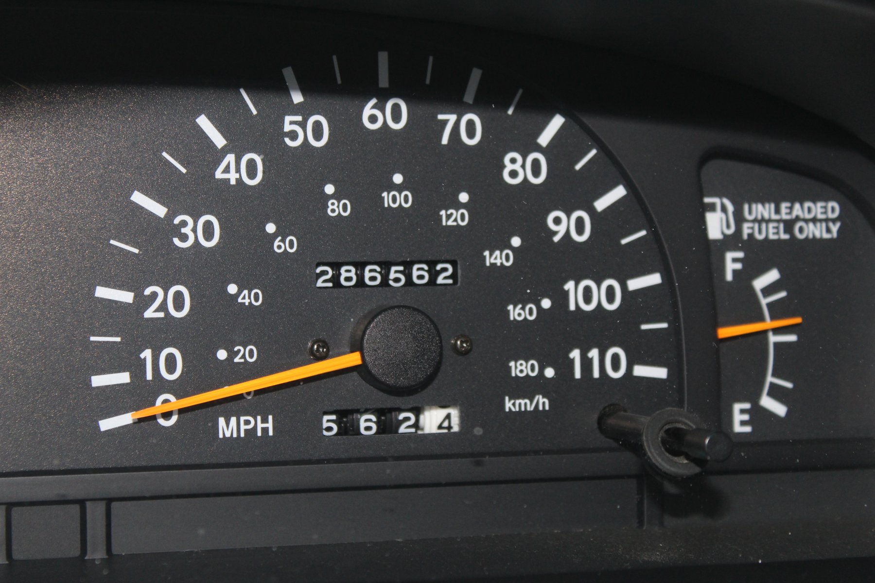
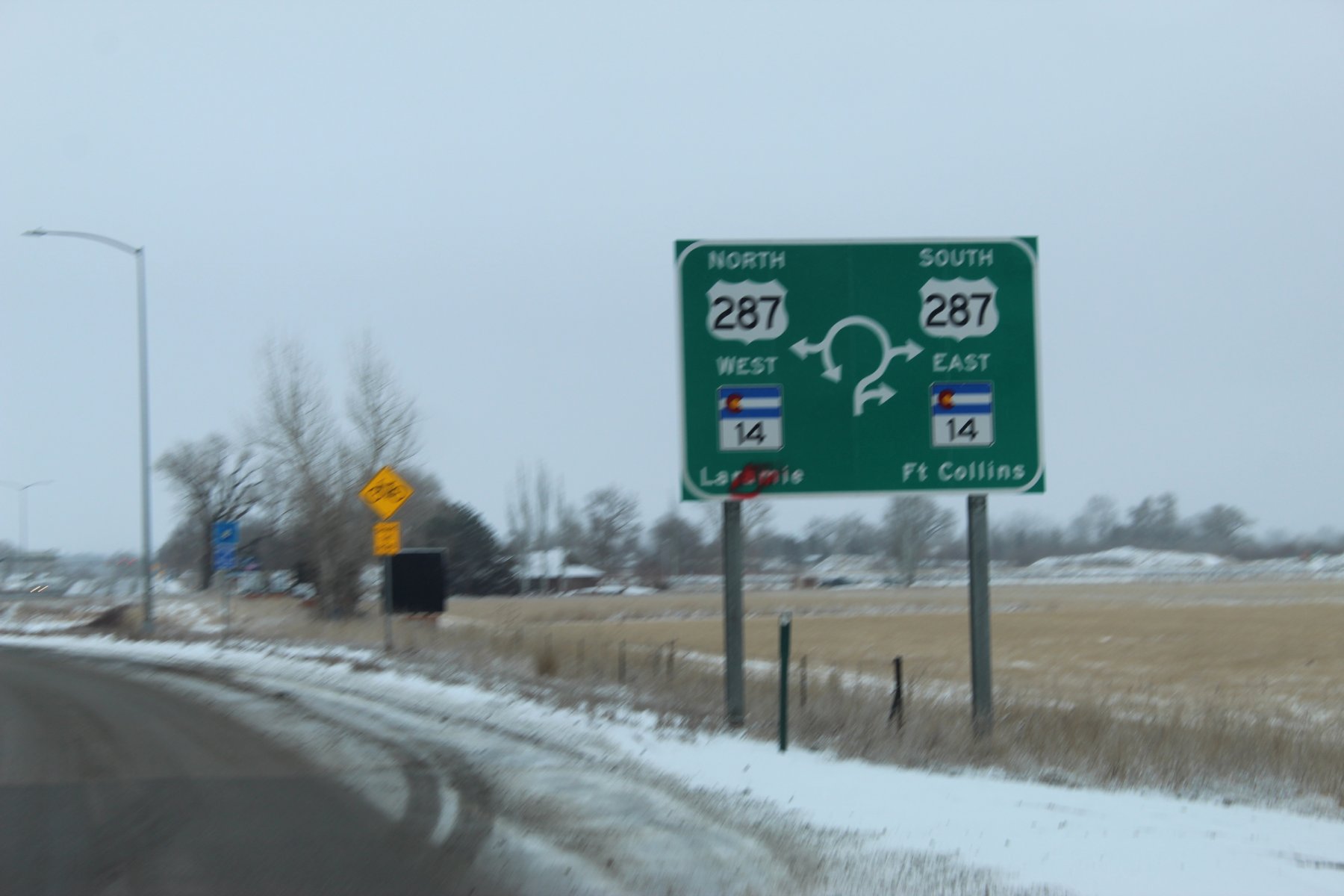
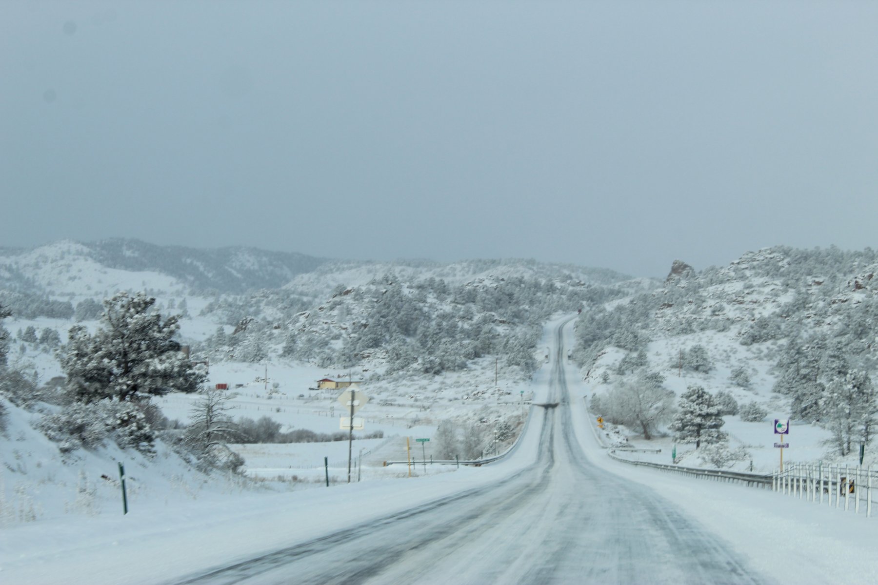
US-287 was opened to Laramie and took that north into Wyoming
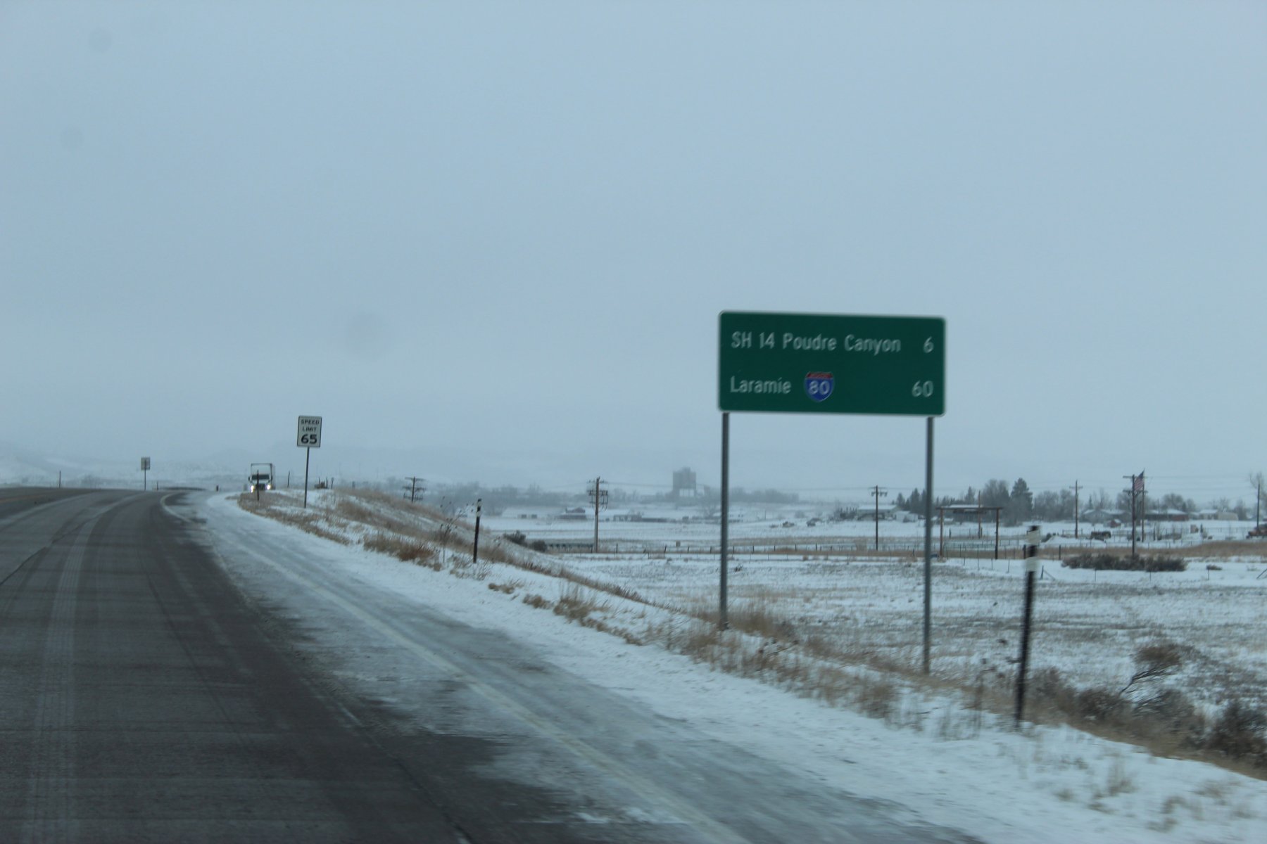
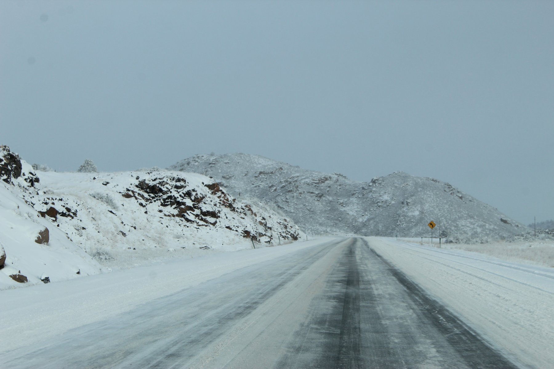
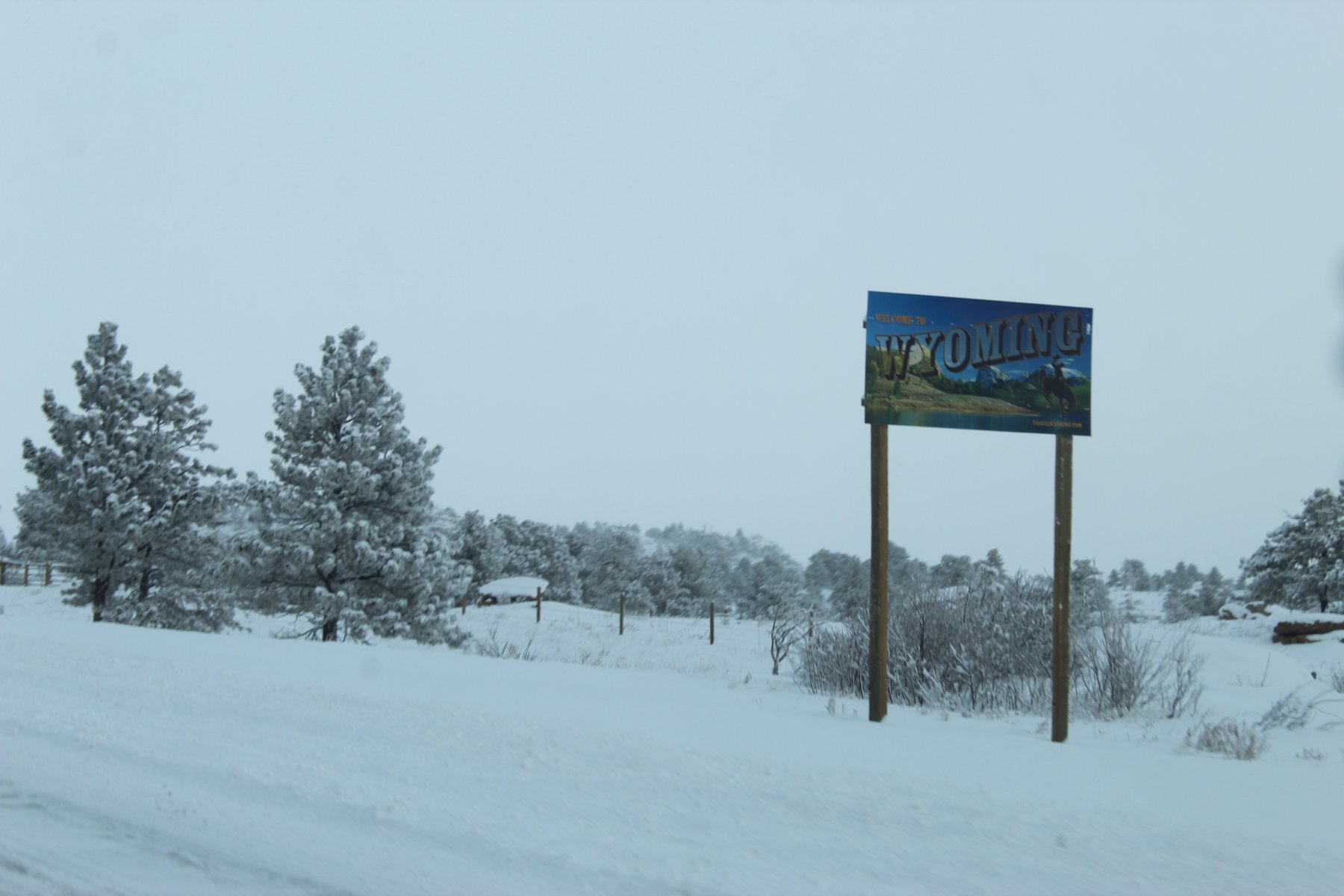
welcome to Wyoming
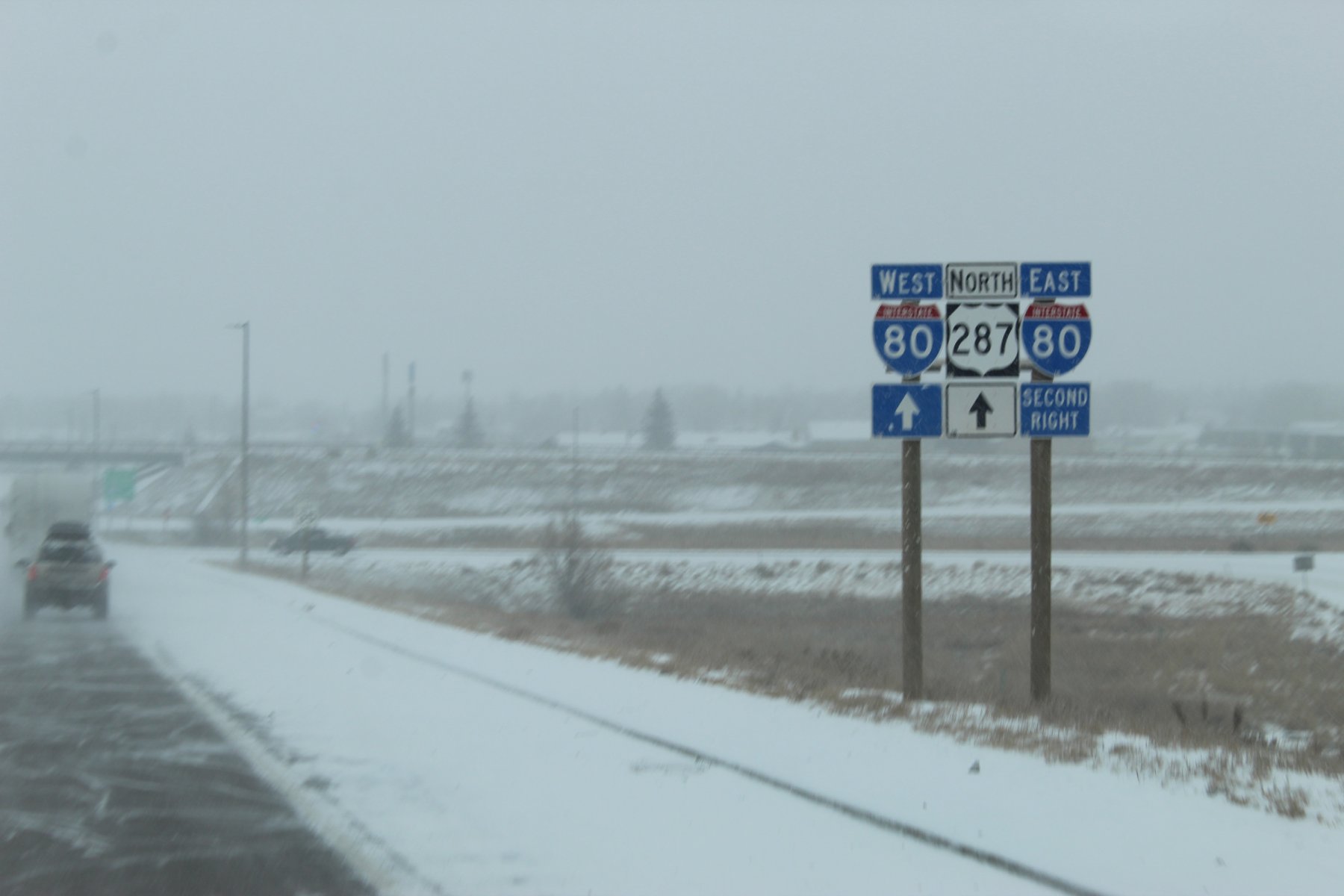
made it to Laramie
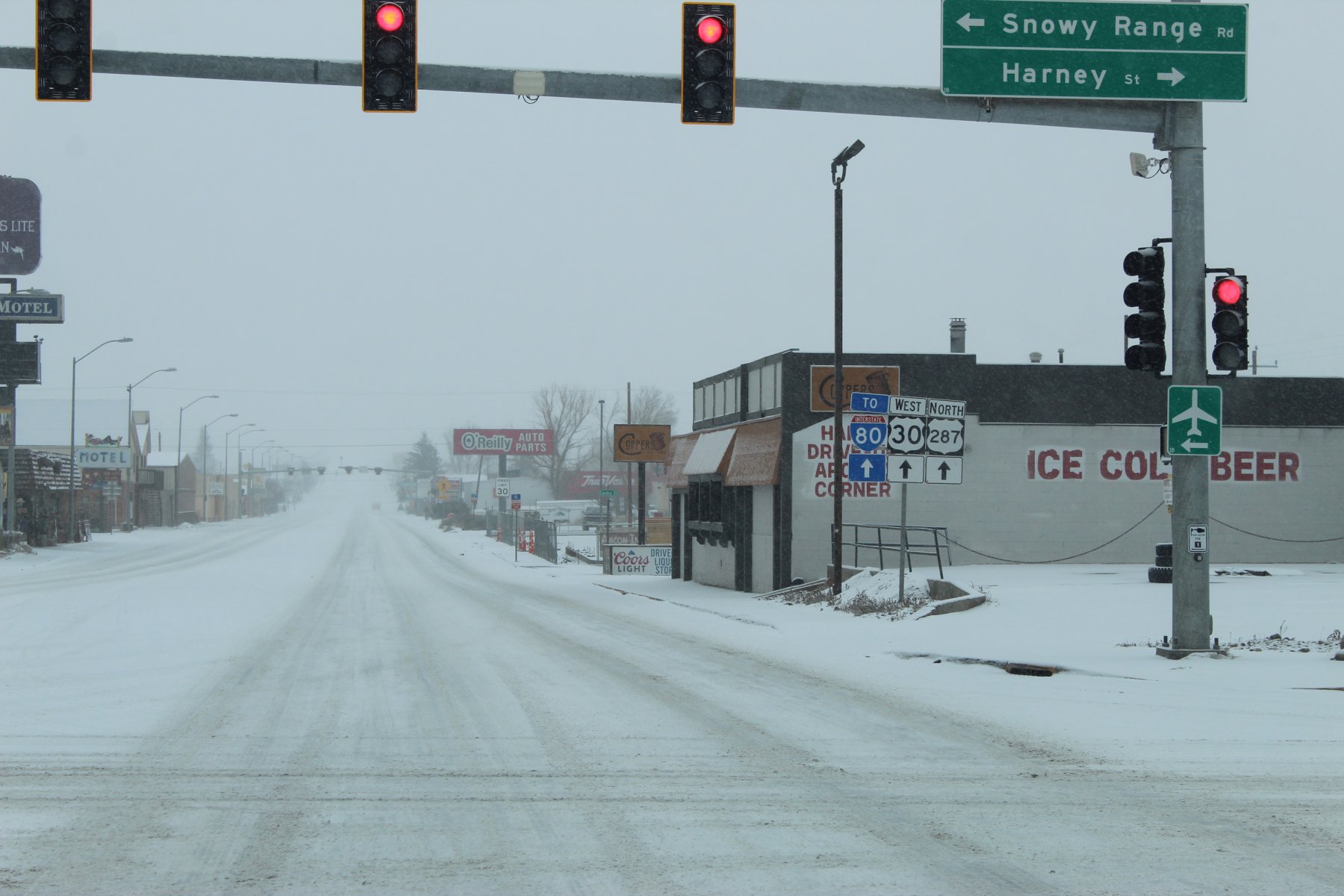
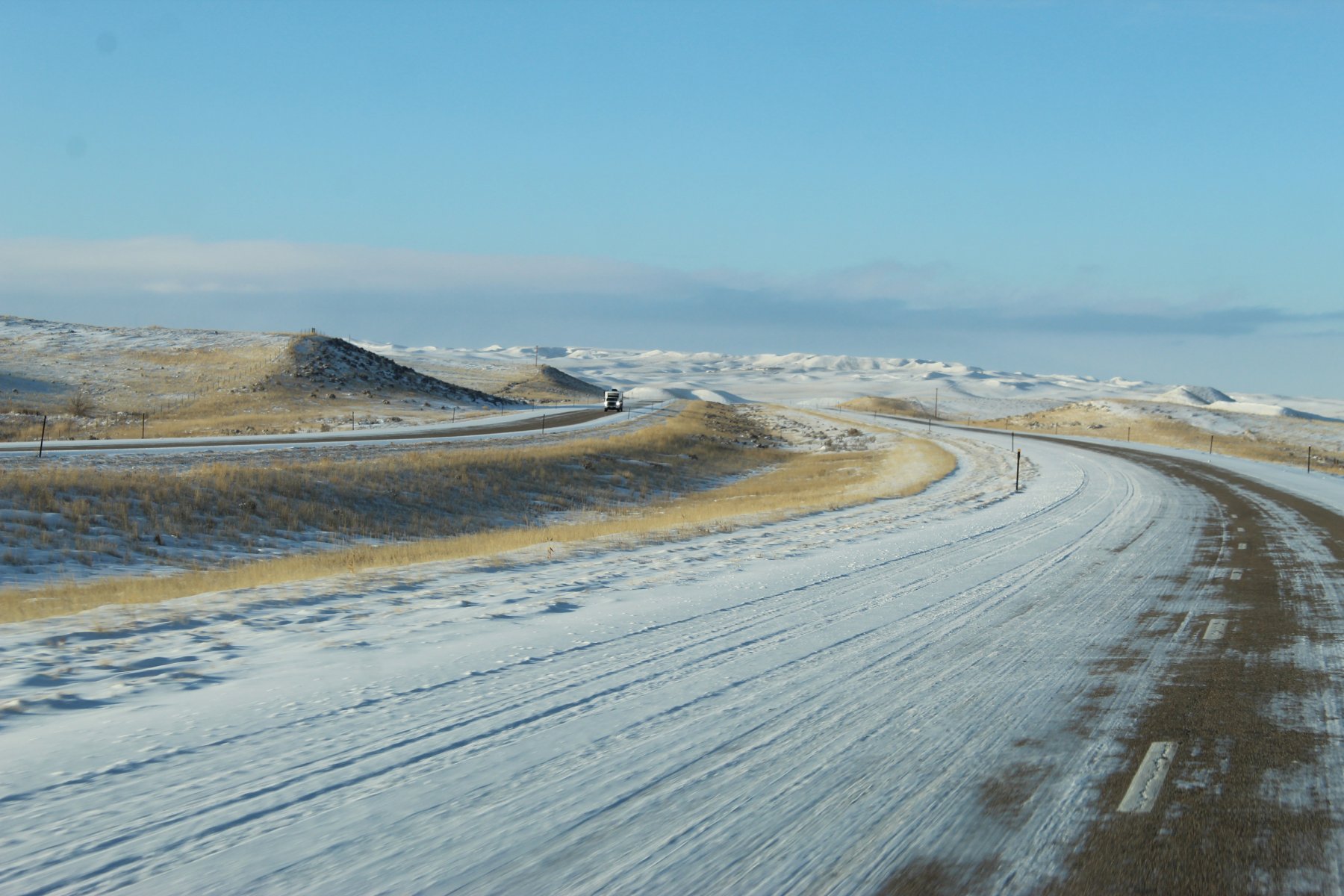
made it a bit further north of Laramie until running into a road closed on US-287/US-30 at Wyoming 34 state route
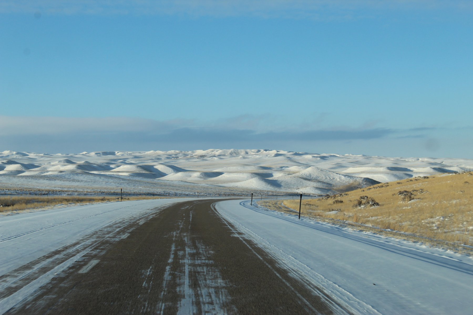
took that deTour with a convoy of other winter travelers through a treacherous wind-blown mini-mountain pass all the way to WheatLand Wyoming... lucky there were others to follow in the mini-blizzard at times couldn't see much of anything but blowing snow
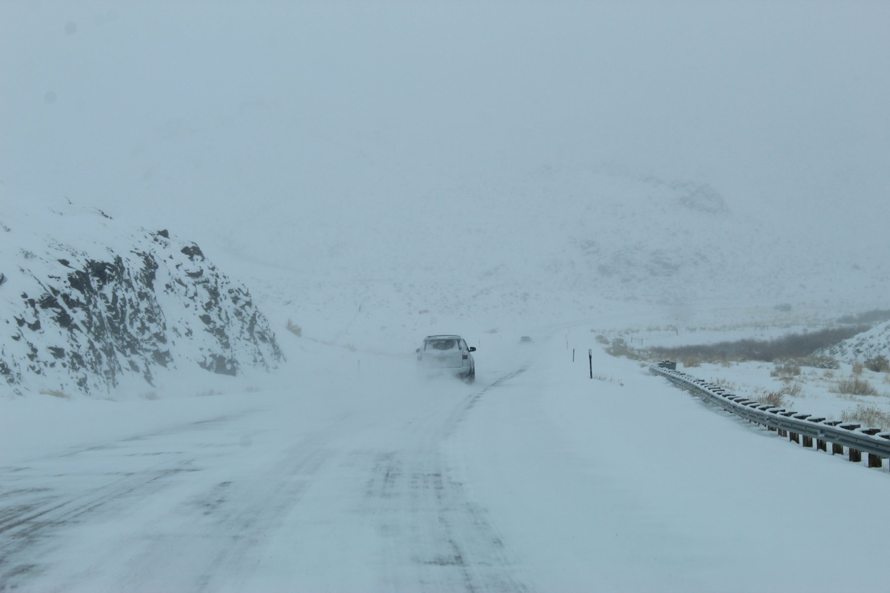
this road to WheatLand was 59 miles in length... might've taken 2 hours to get there in these conditions
found out the i80/i25 area in Wyoming is still closed due to the winter storm that passed
going to detour it north up US-287 to Wyoming and see where that i25 might be opened to traffic

10.5 hours and 716 miles.... it actually ended up taking 17 hours... due to road conditions and reduced speed

US-287 was opened to Laramie and took that north into Wyoming


welcome to Wyoming


made it to Laramie

made it a bit further north of Laramie until running into a road closed on US-287/US-30 at Wyoming 34 state route
took that deTour with a convoy of other winter travelers through a treacherous wind-blown mini-mountain pass all the way to WheatLand Wyoming... lucky there were others to follow in the mini-blizzard at times couldn't see much of anything but blowing snow

this road to WheatLand was 59 miles in length... might've taken 2 hours to get there in these conditions
Last edited:
JayQQ97
MW surVivor ... clutched. 367k on the 0D0
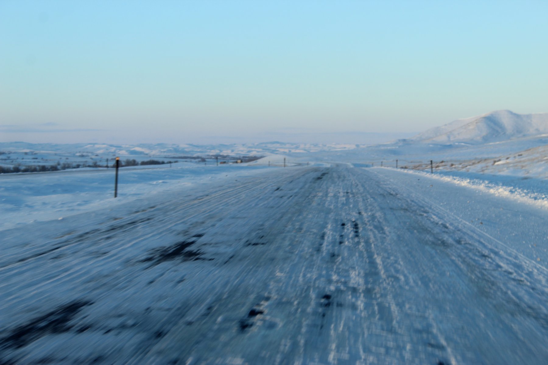
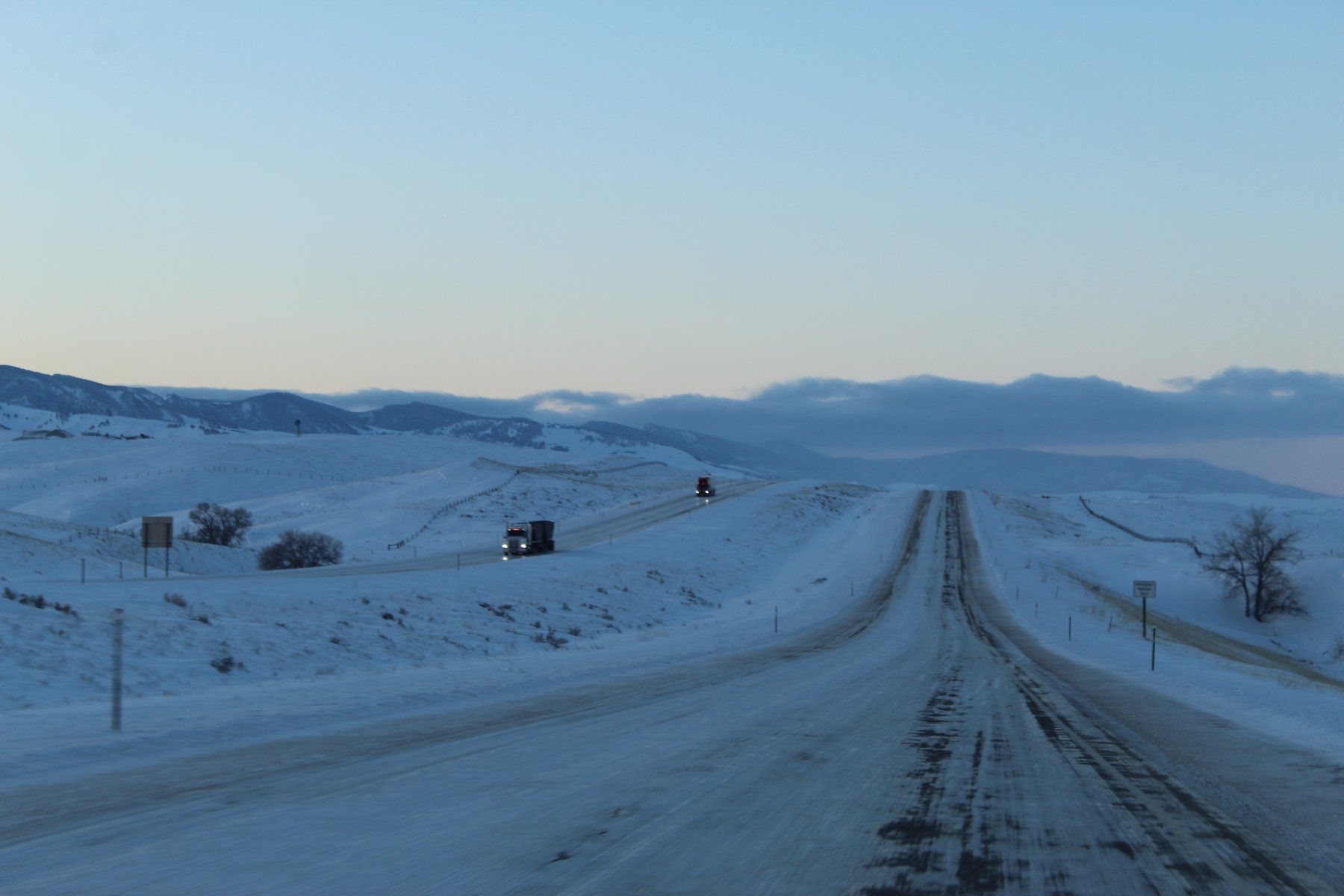
more treacherous wheeling on the 59 mile Wyoming-34 deTour... you can barely see the 4Runner in front of me, but i don't believe he had his tailights on for visibility...
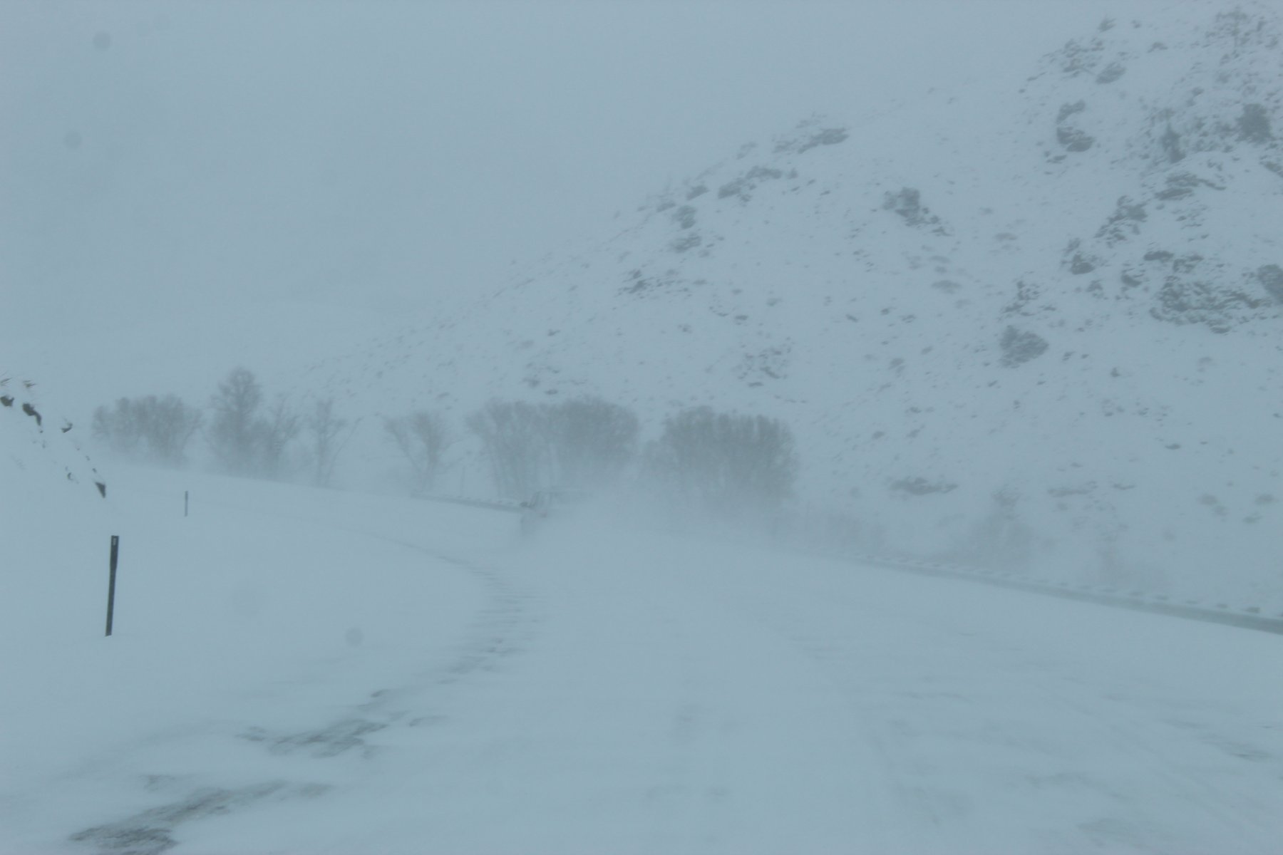
finally made it to WheatLand... so cold out
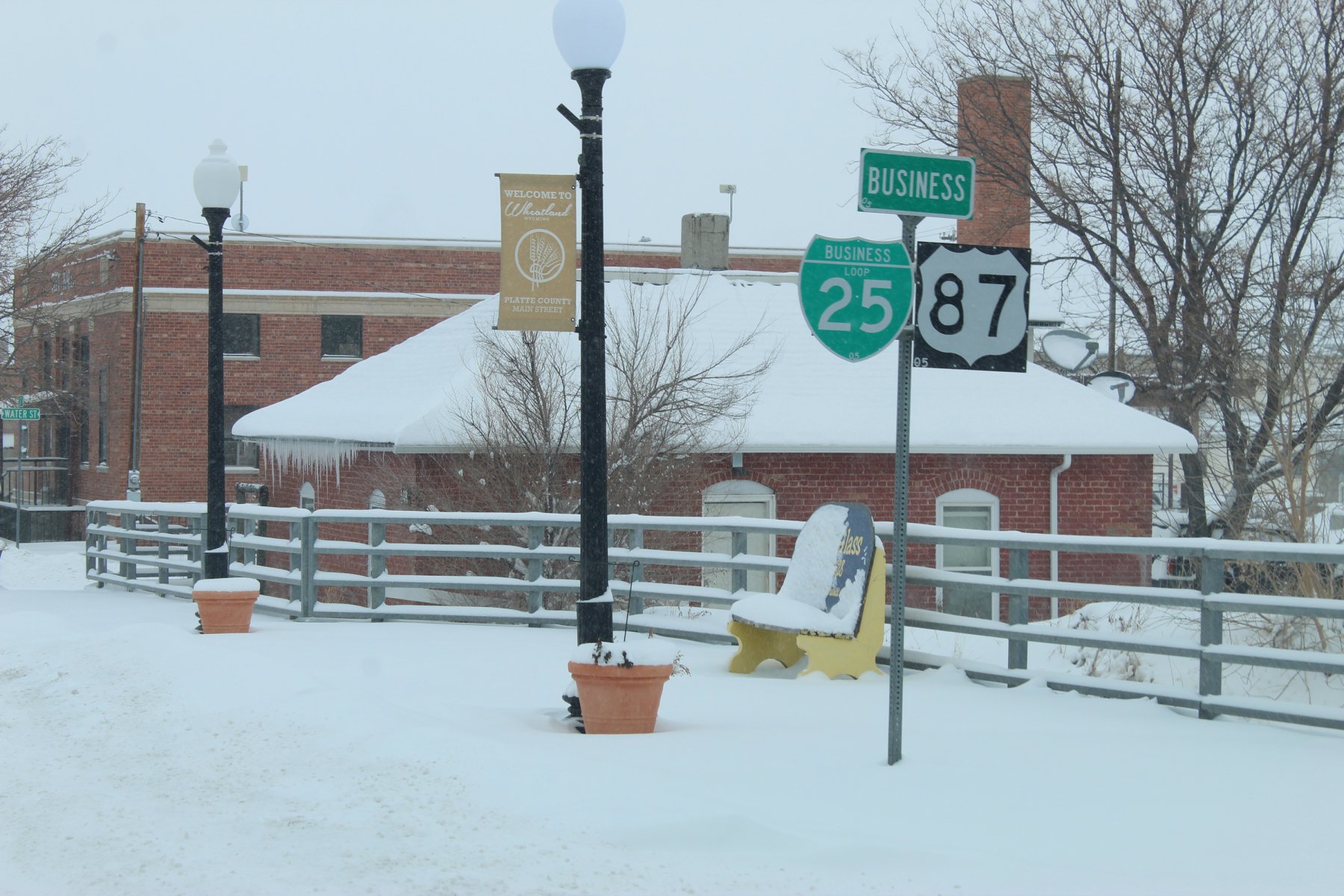
sat for the longest spell in the local SubWay joint to get online and find where the deTour to i25 was, it said it was open at US-26 junction
wheeled it up north on Wyoming-320 until the US-26 jct was spotted

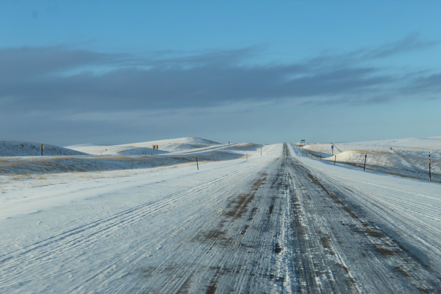
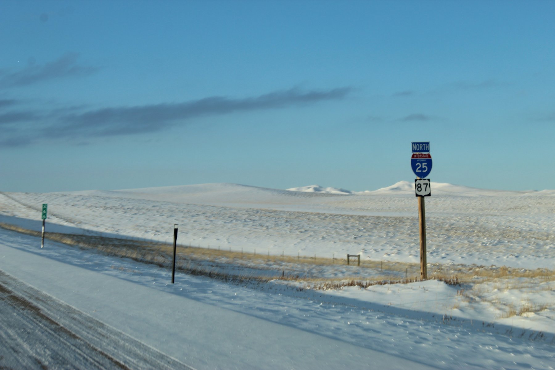
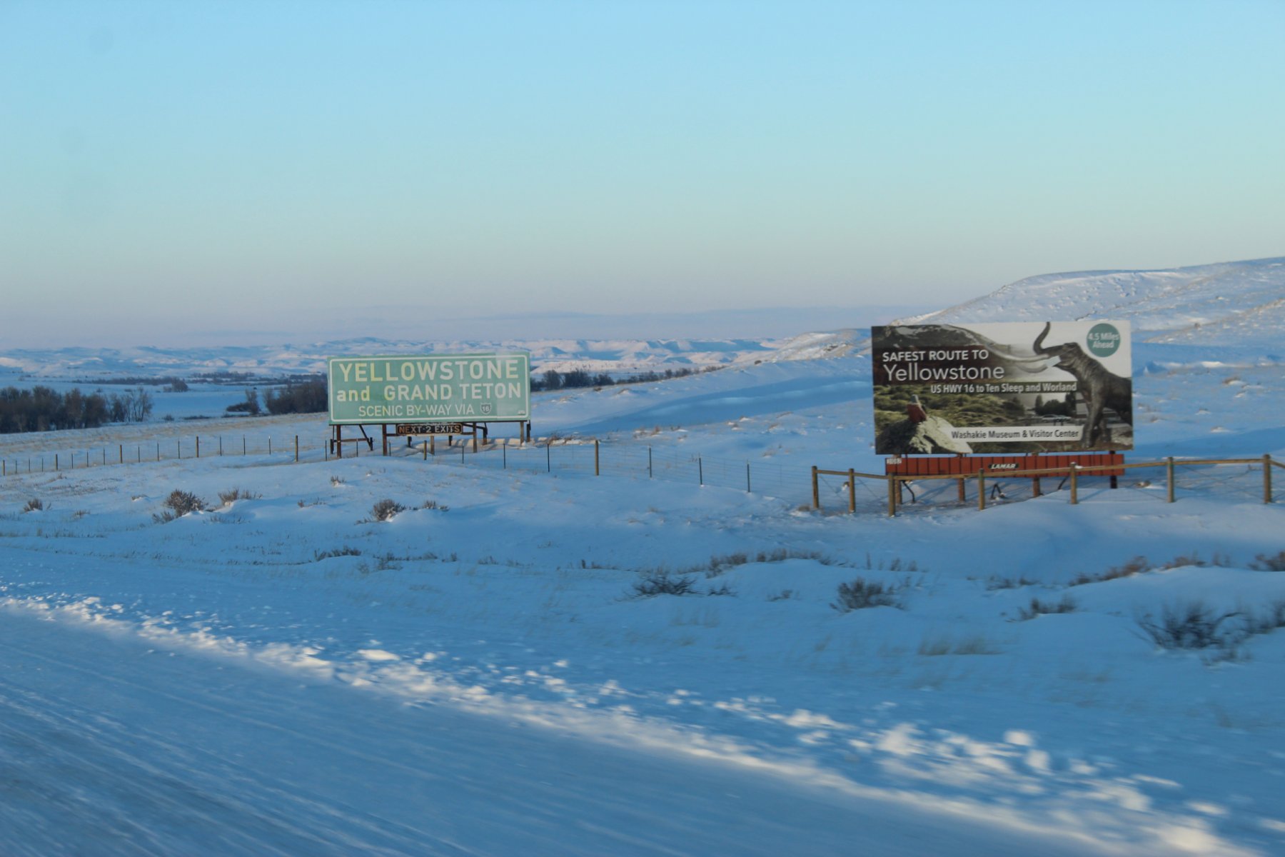
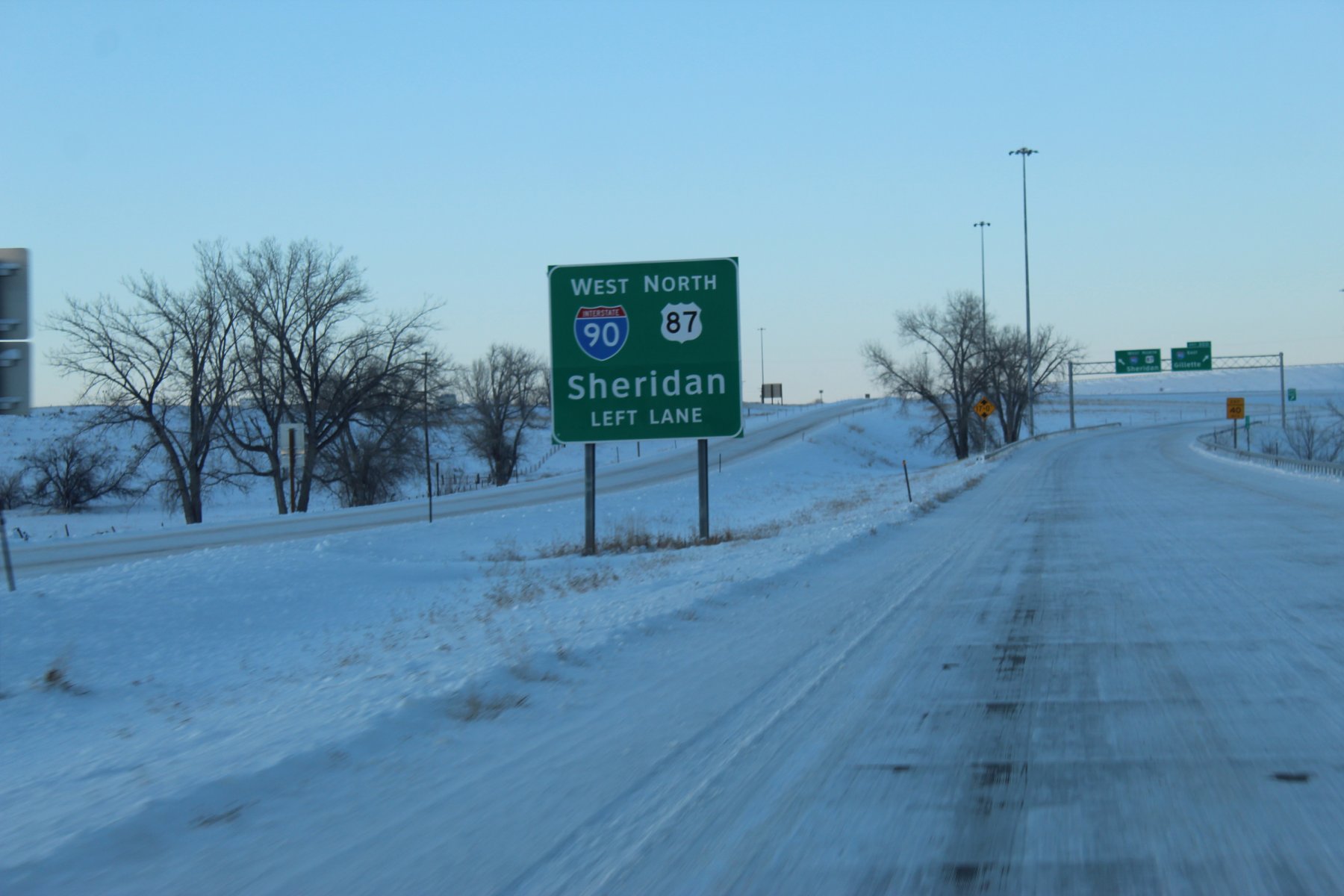
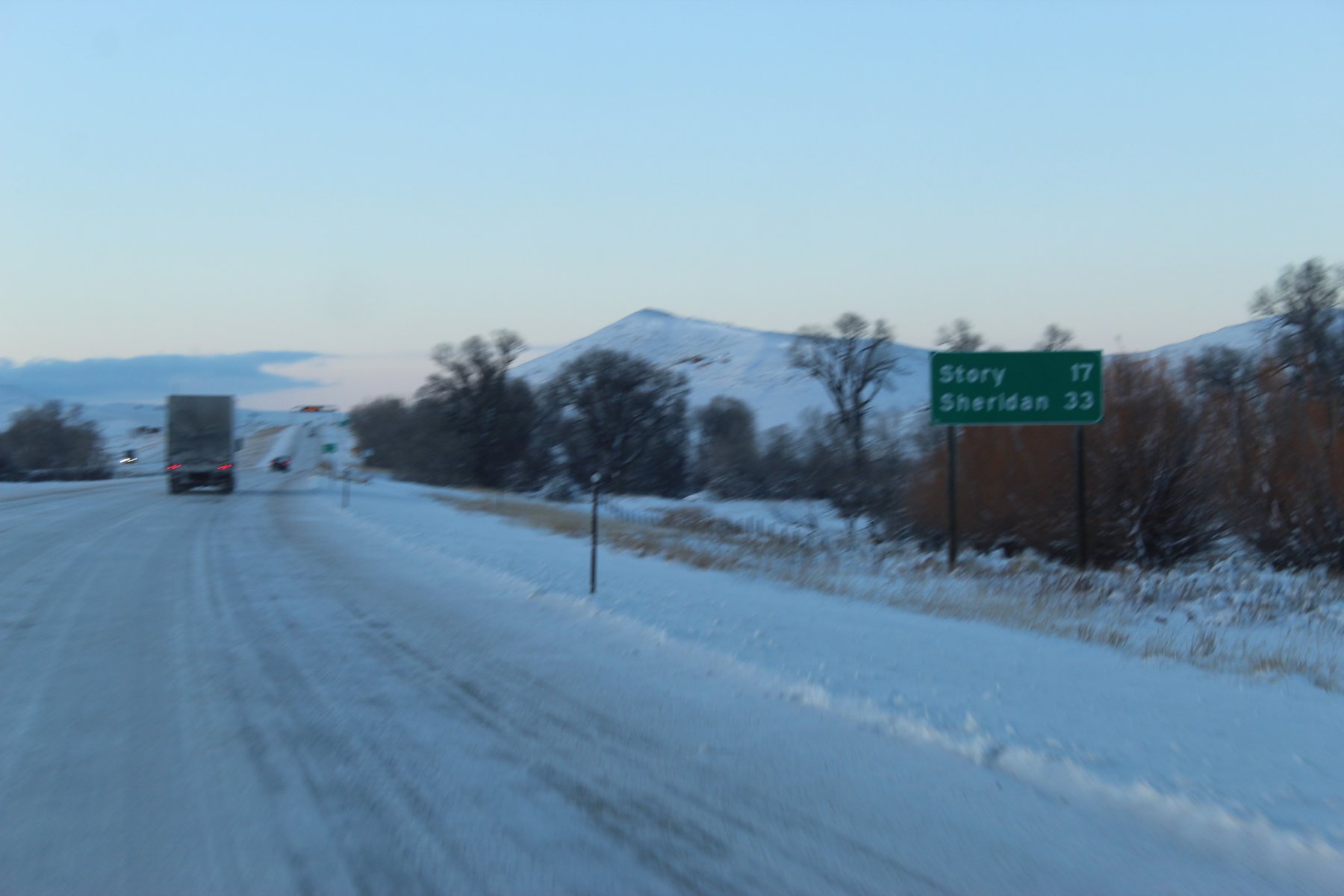
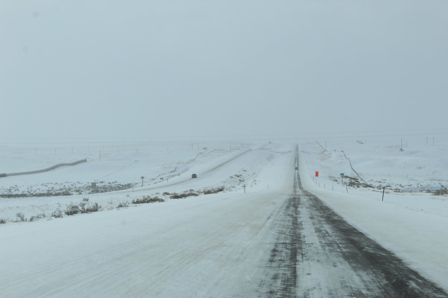
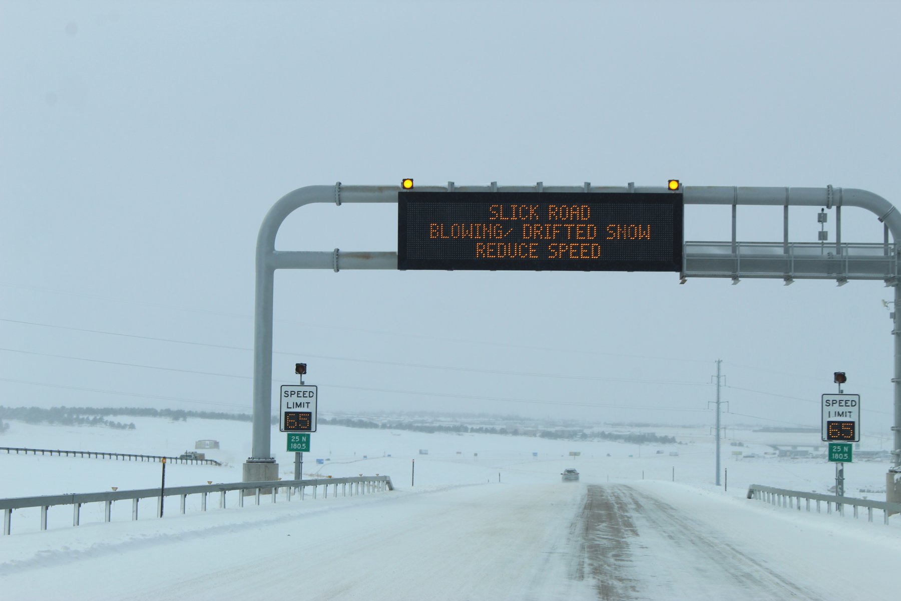
made it to i25... how are the roads???
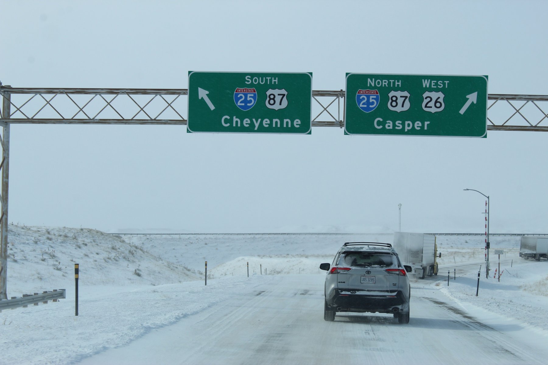
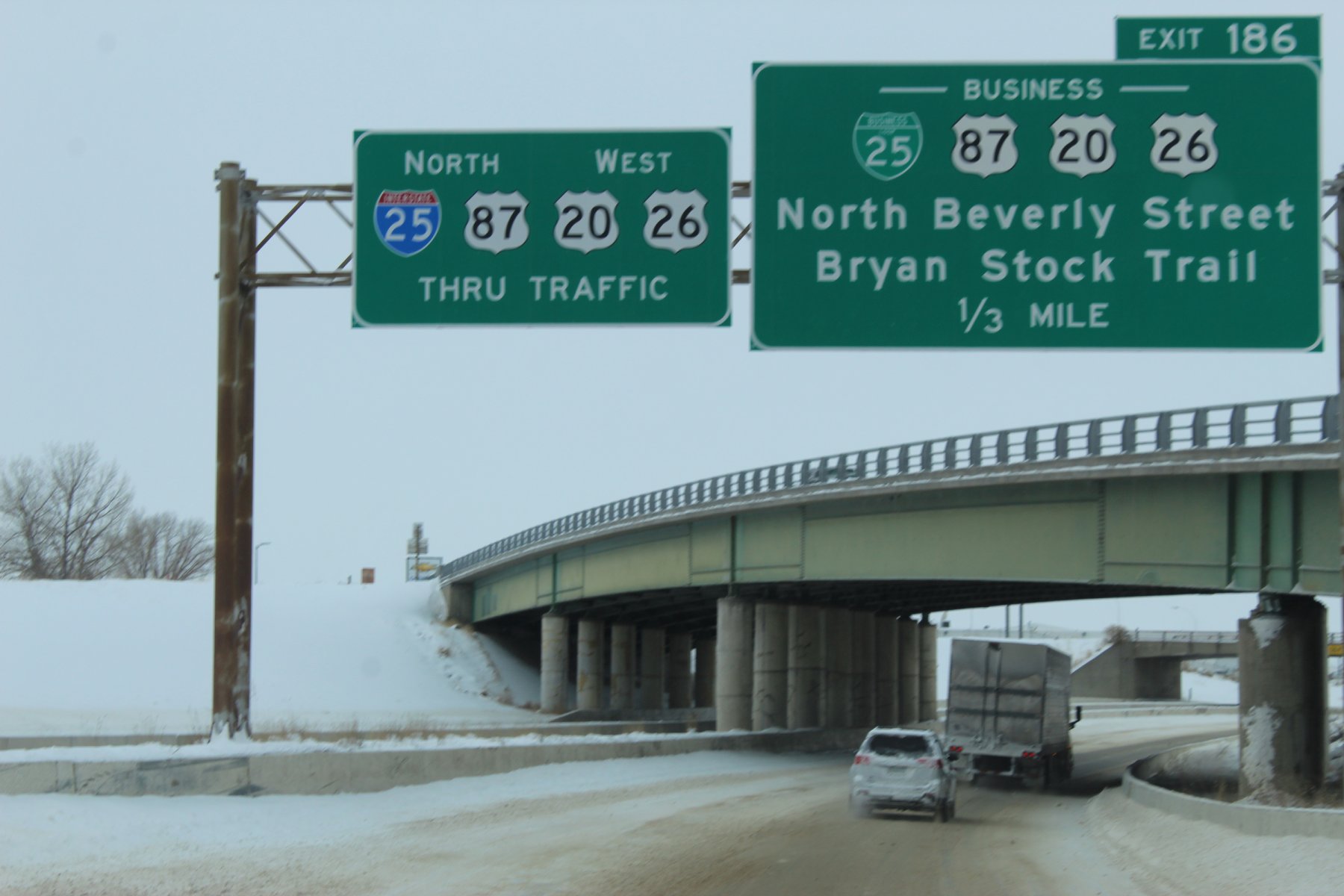
made it to Casper...
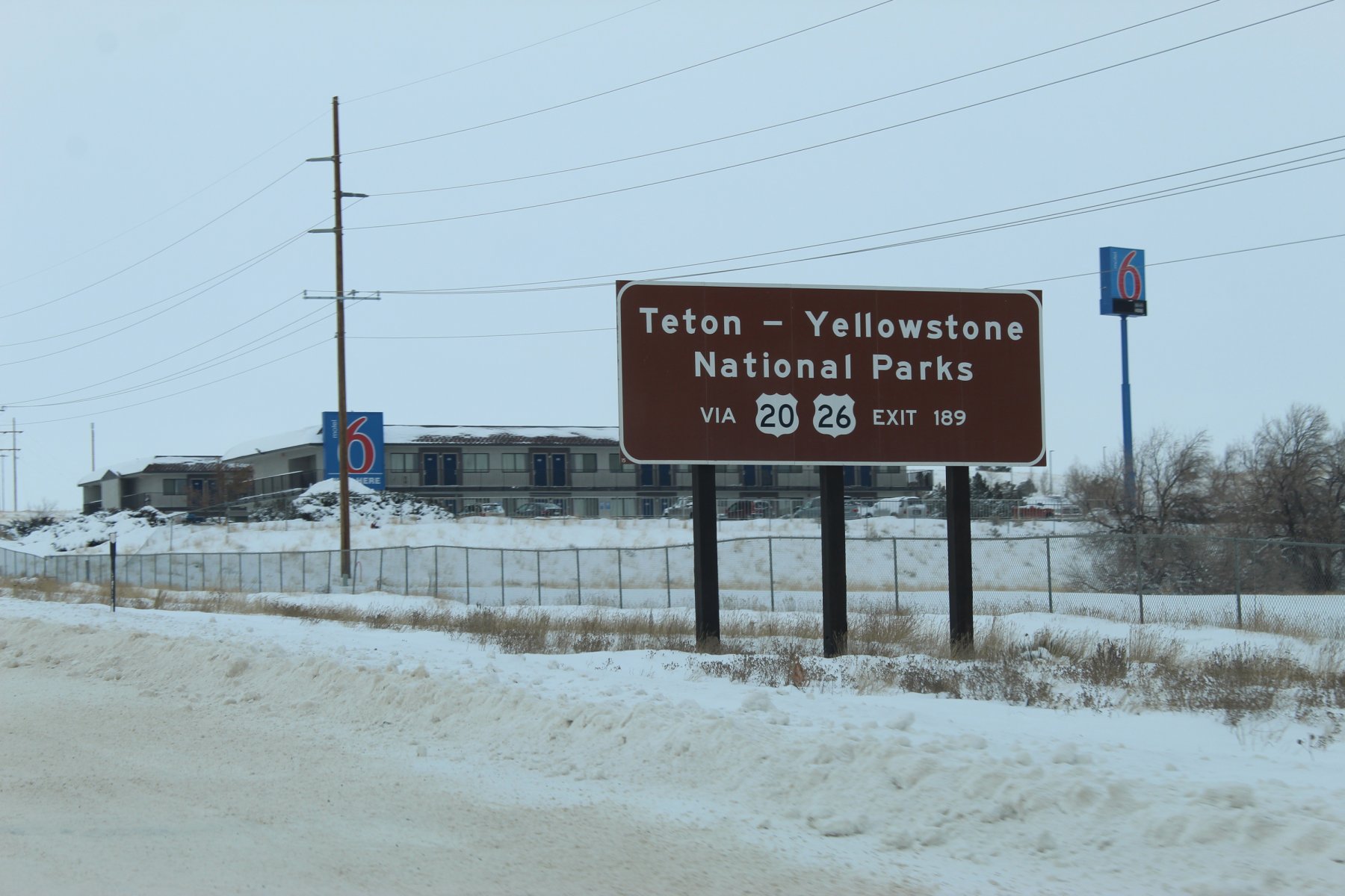
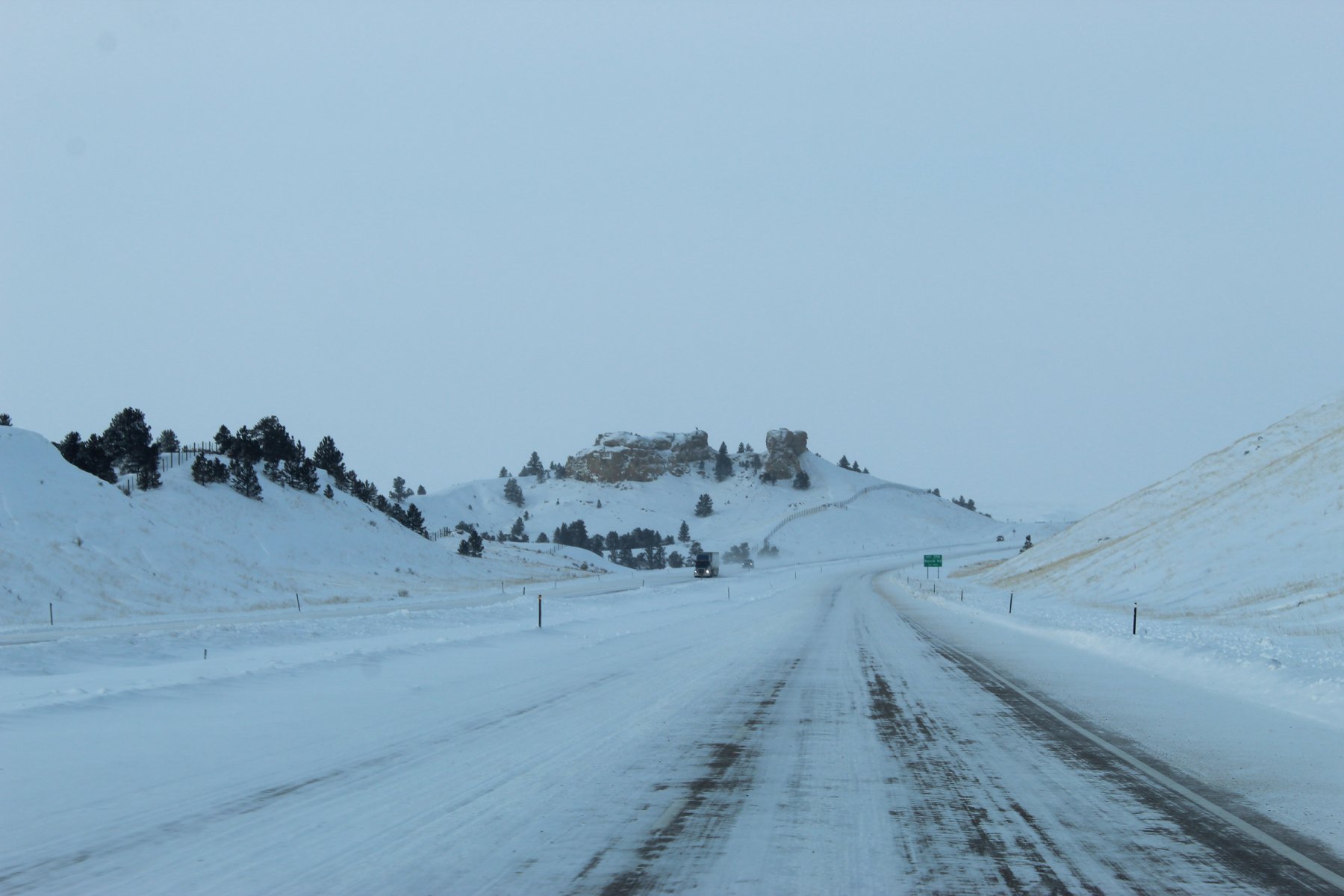

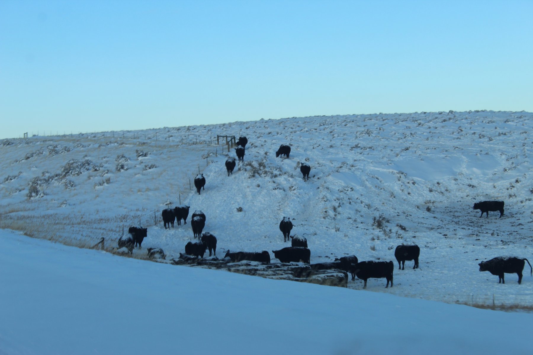
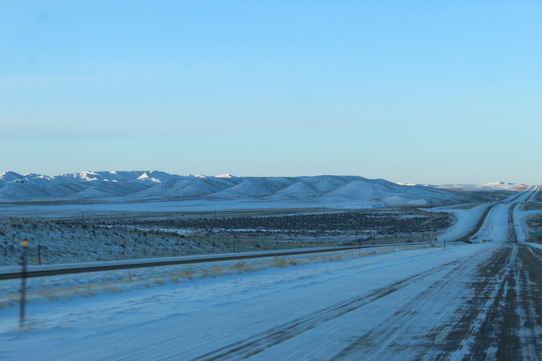
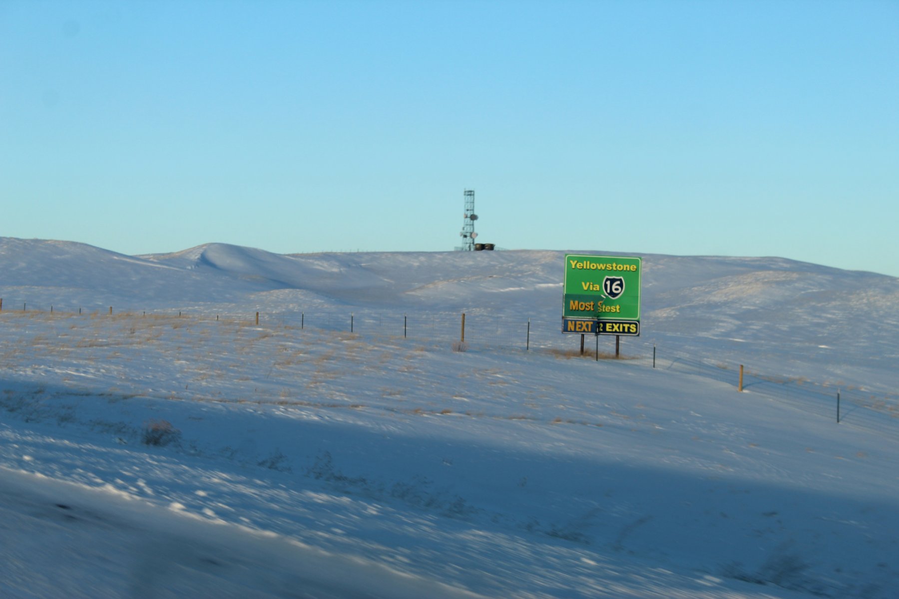
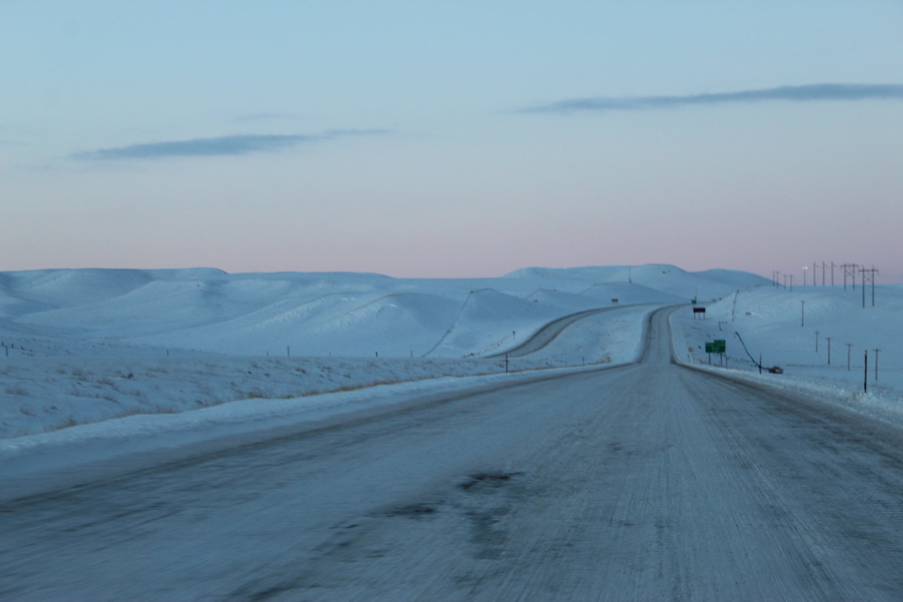
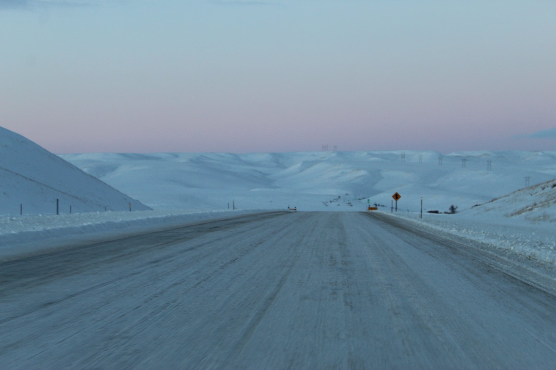
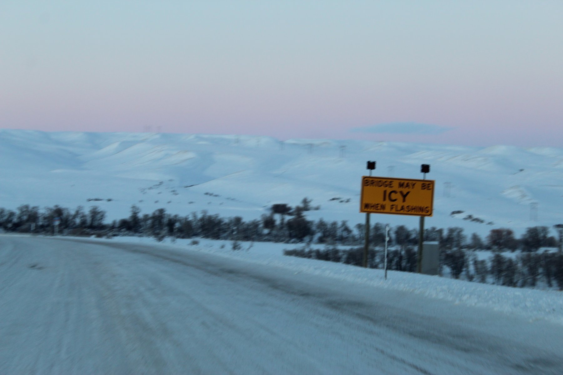
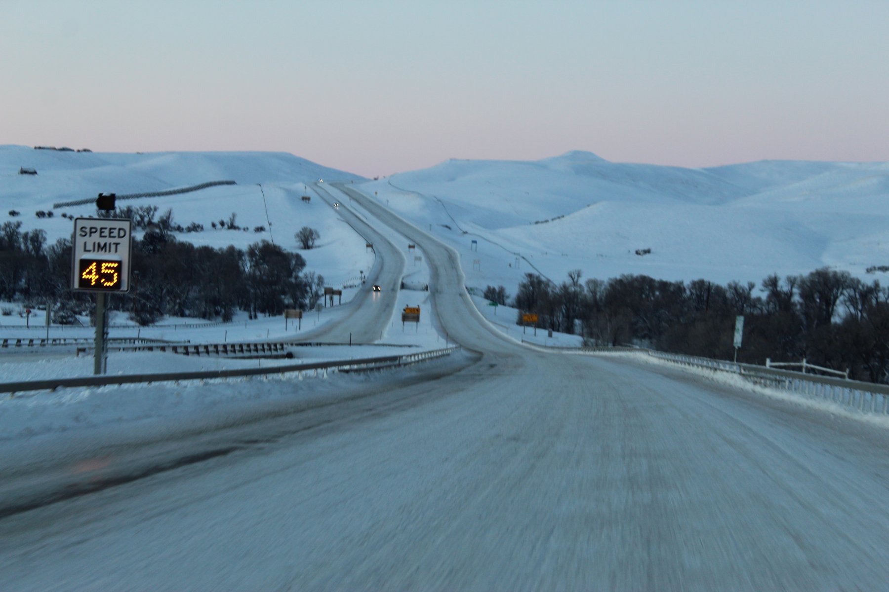
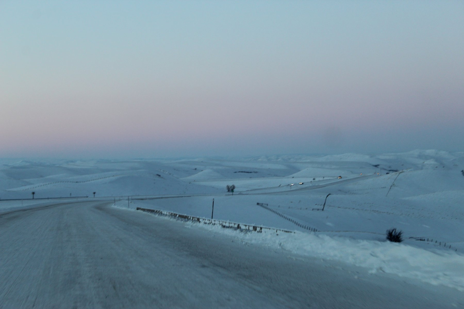
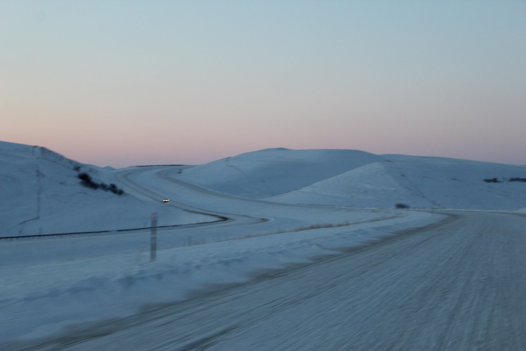
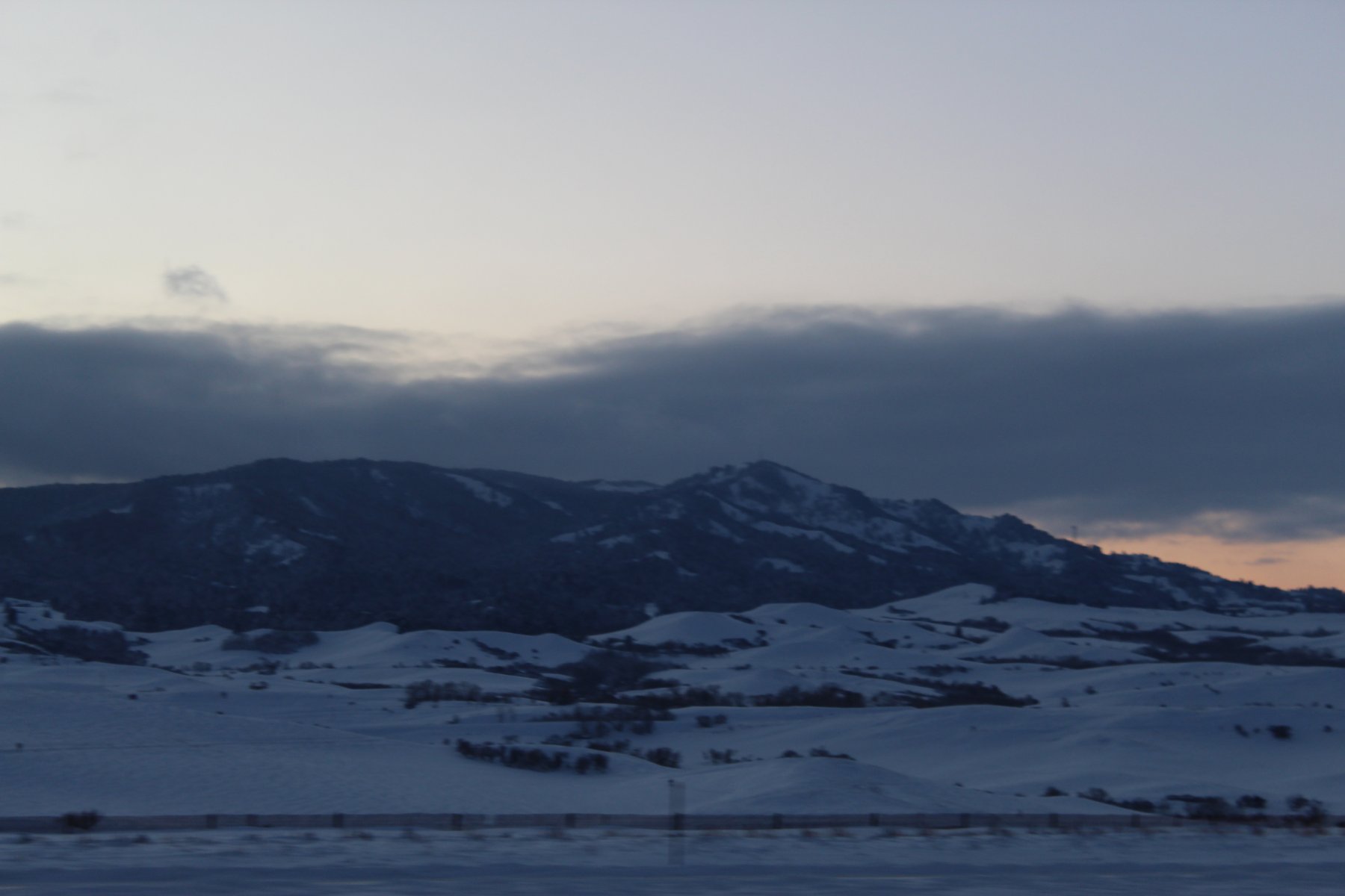
a few additional pics here...

finally made it to WheatLand... so cold out

sat for the longest spell in the local SubWay joint to get online and find where the deTour to i25 was, it said it was open at US-26 junction
wheeled it up north on Wyoming-320 until the US-26 jct was spotted

made it to i25... how are the roads???


made it to Casper...


a few additional pics here...
Last edited:
JayQQ97
MW surVivor ... clutched. 367k on the 0D0
JayQQ97
MW surVivor ... clutched. 367k on the 0D0
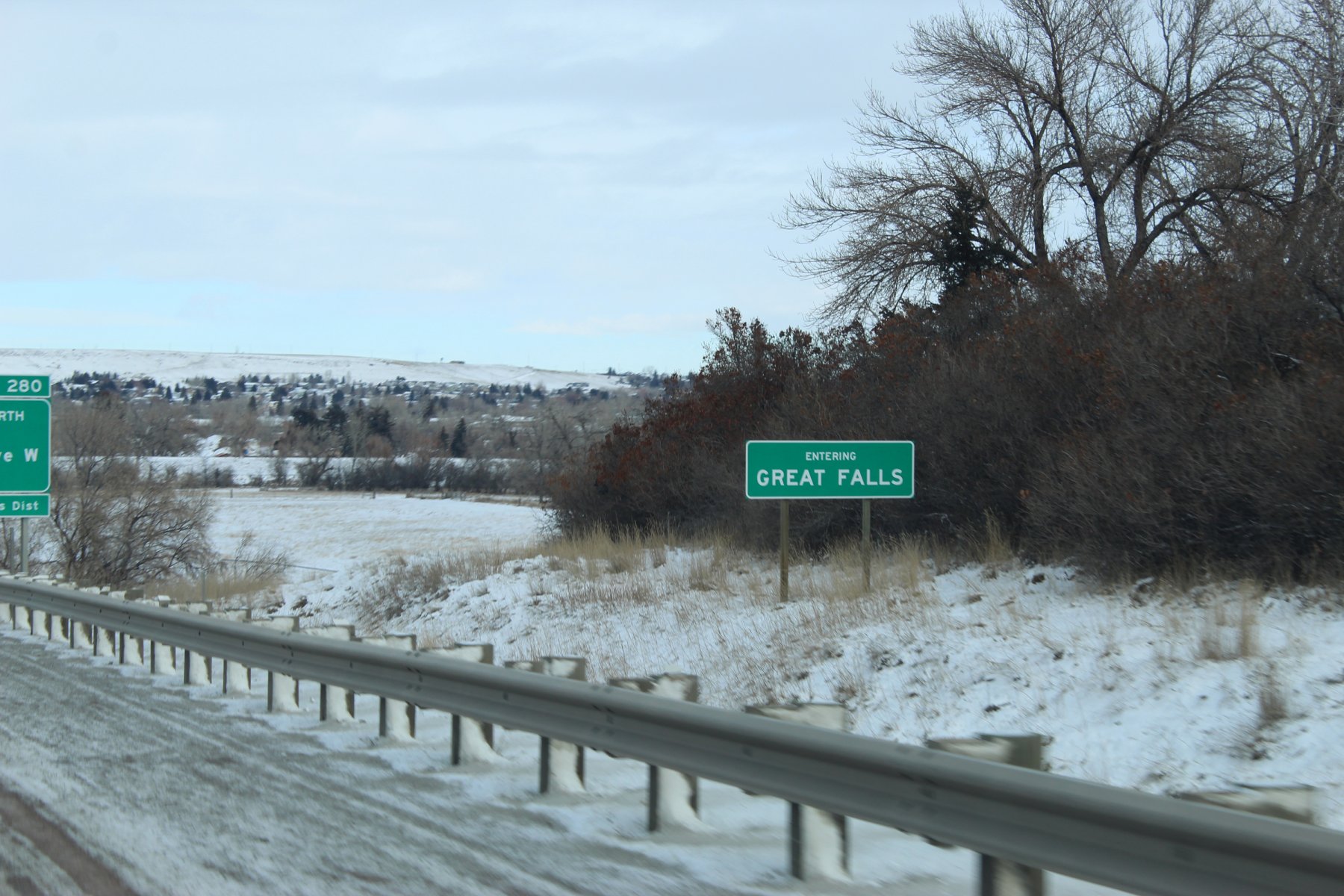
made it safely to stop 7 (Great Falls, Montana)
stayin' two nights here in Great Falls
838 miles wheeled yesterday, mostly in Wyoming on treacherous icy-slick snow-packed roads
arrived in Great Falls at about 2am after nearly a 17 hour drive yesterday
it was 15 below zero with some harsh wind...
4579 mile treK so far.
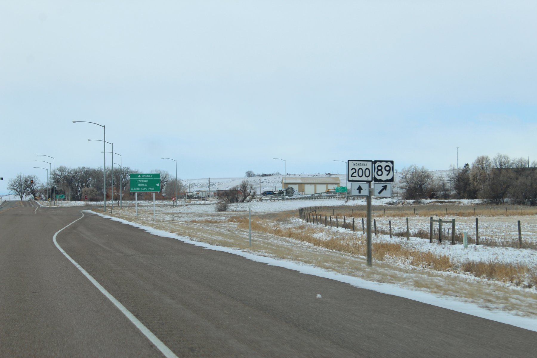
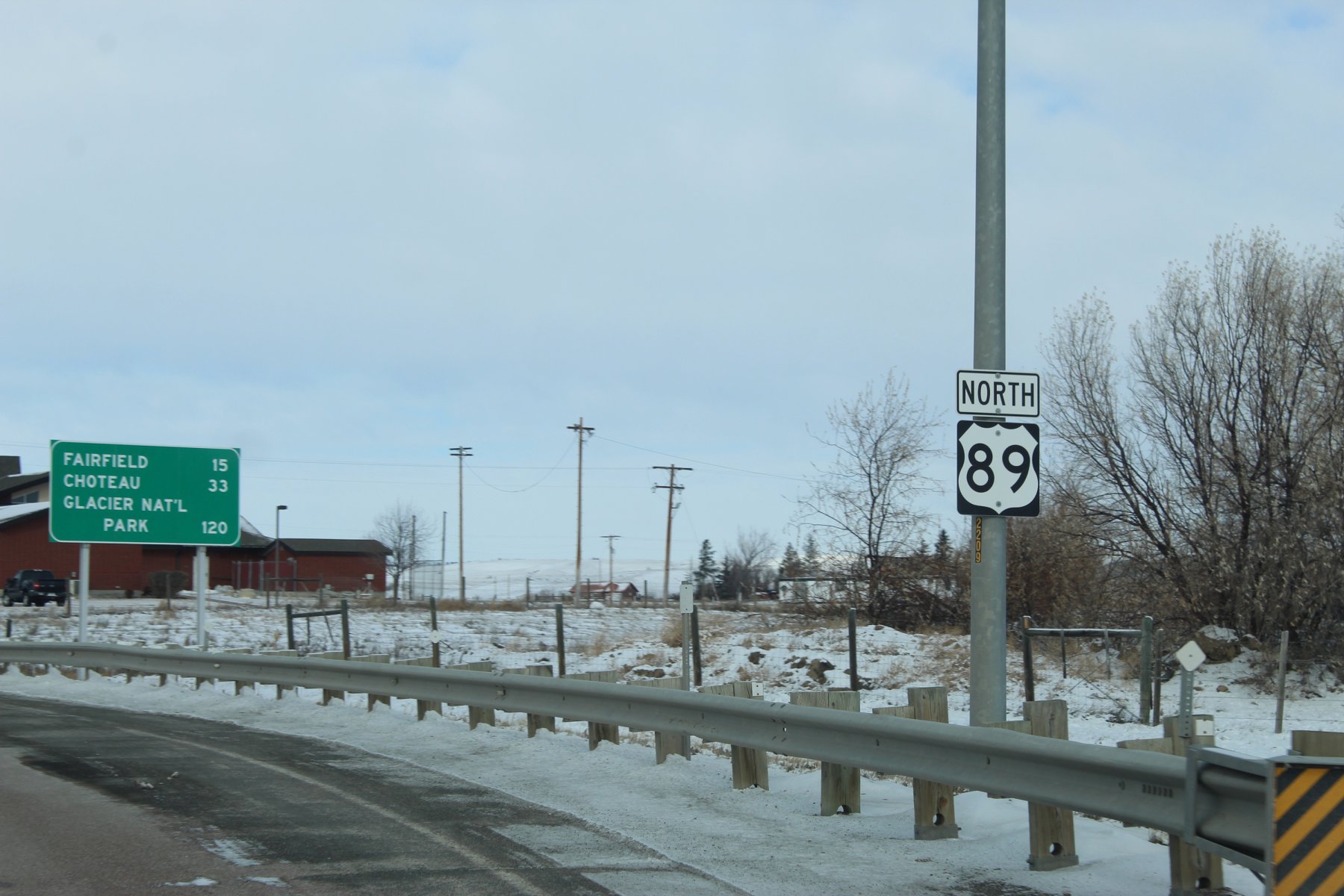
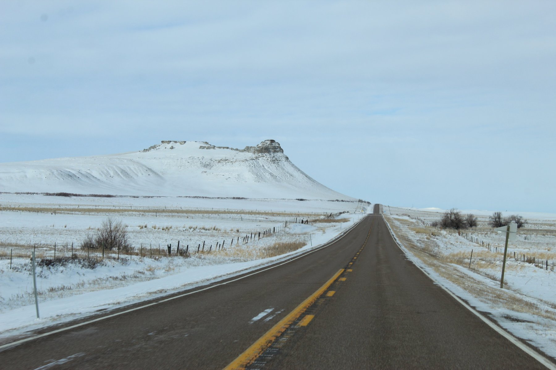
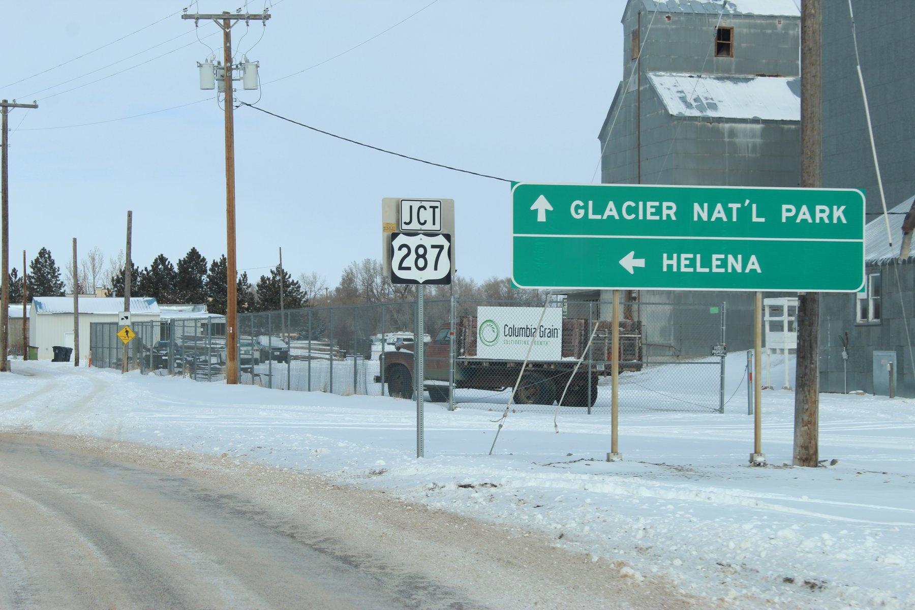
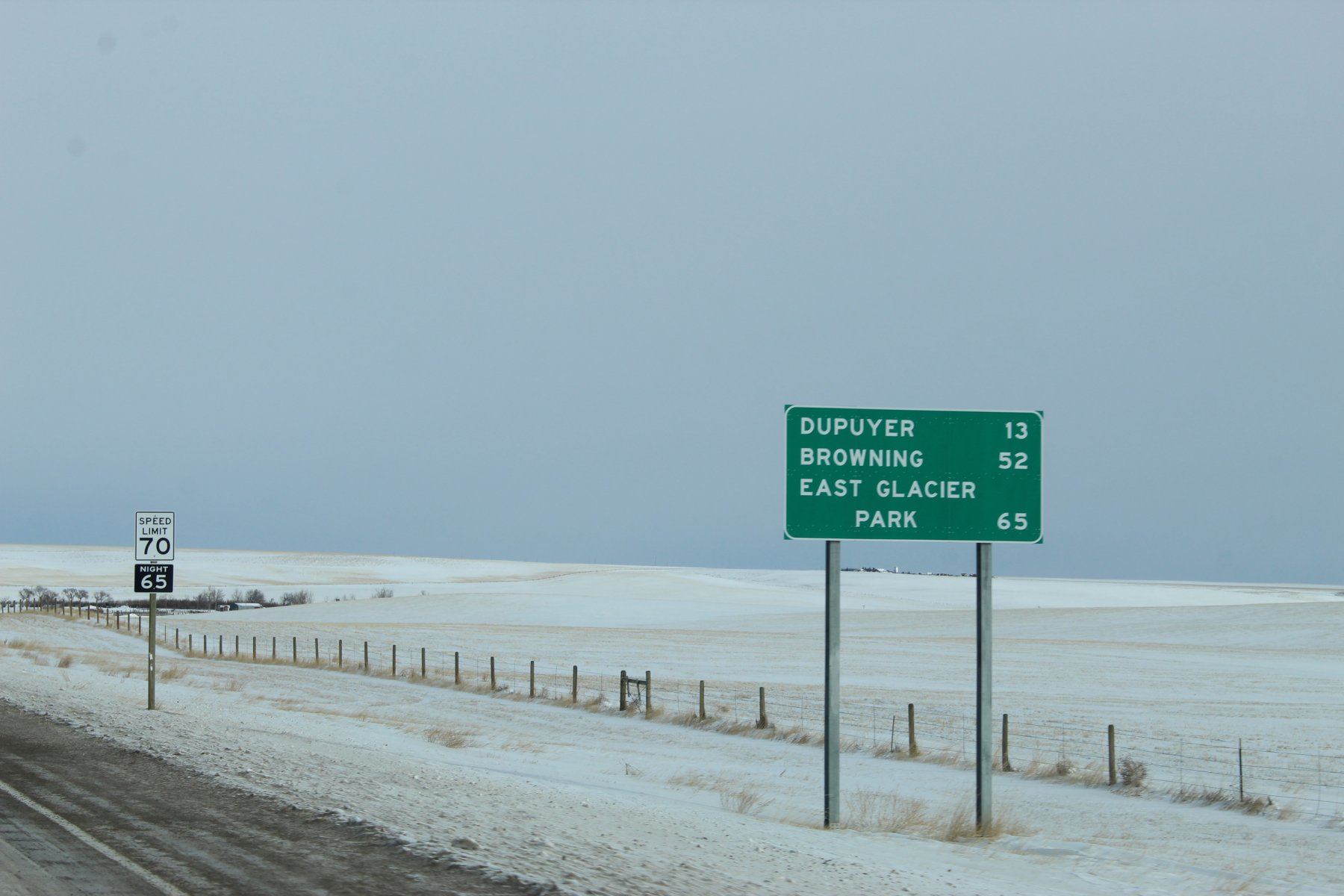
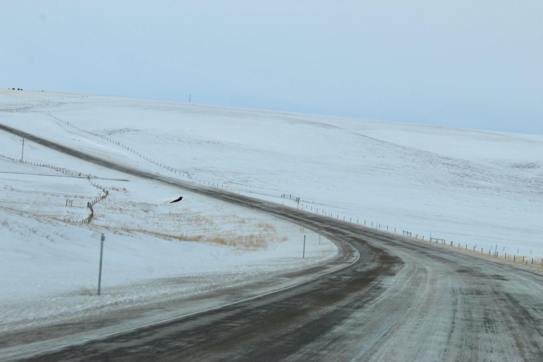
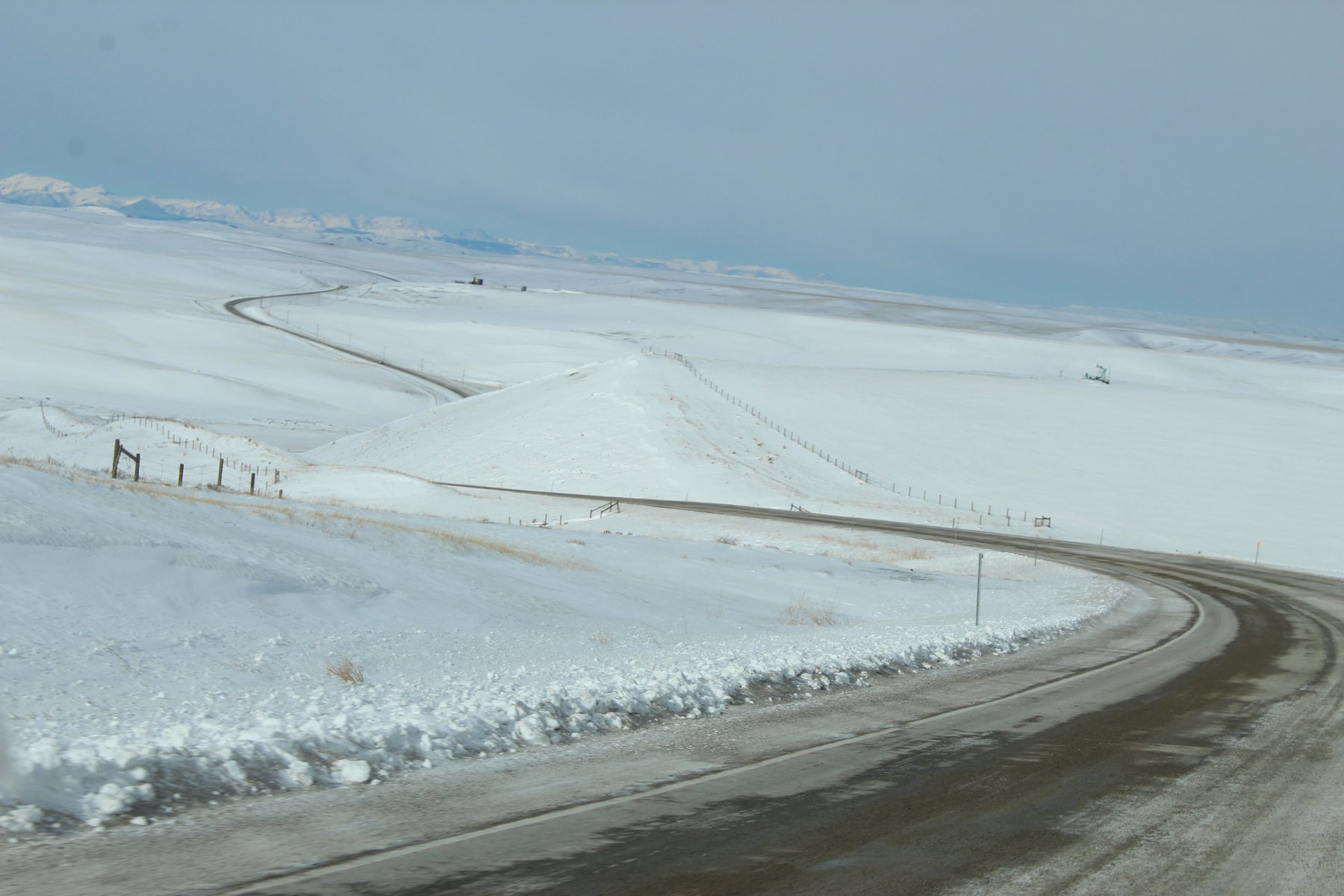
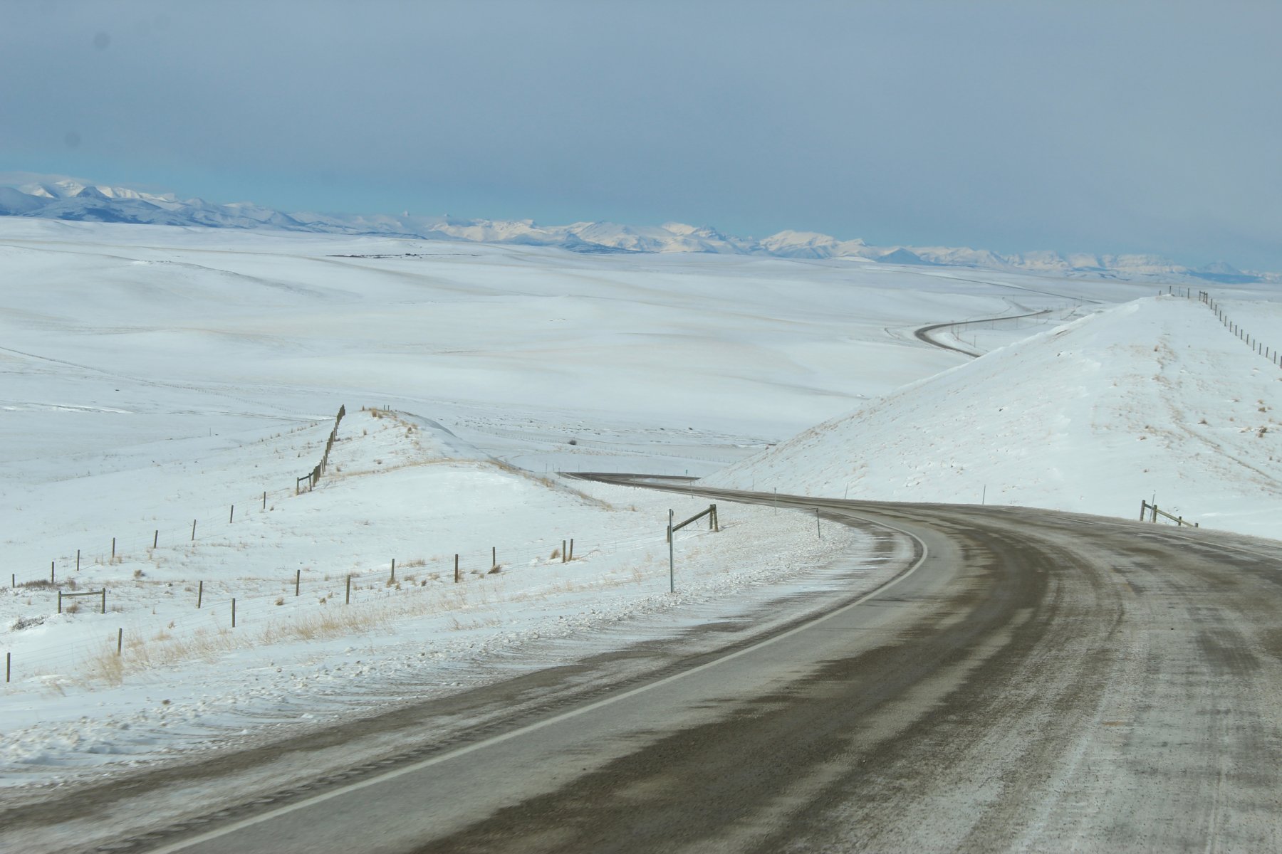
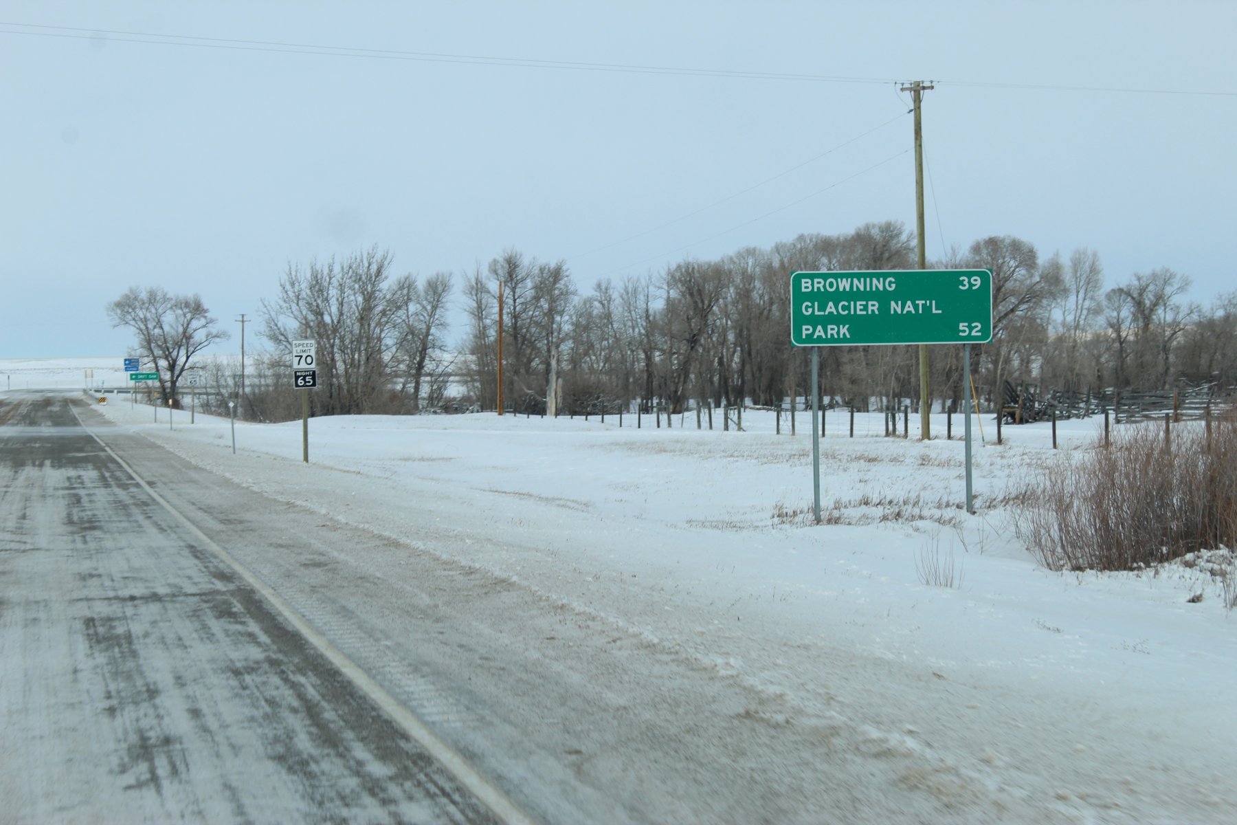
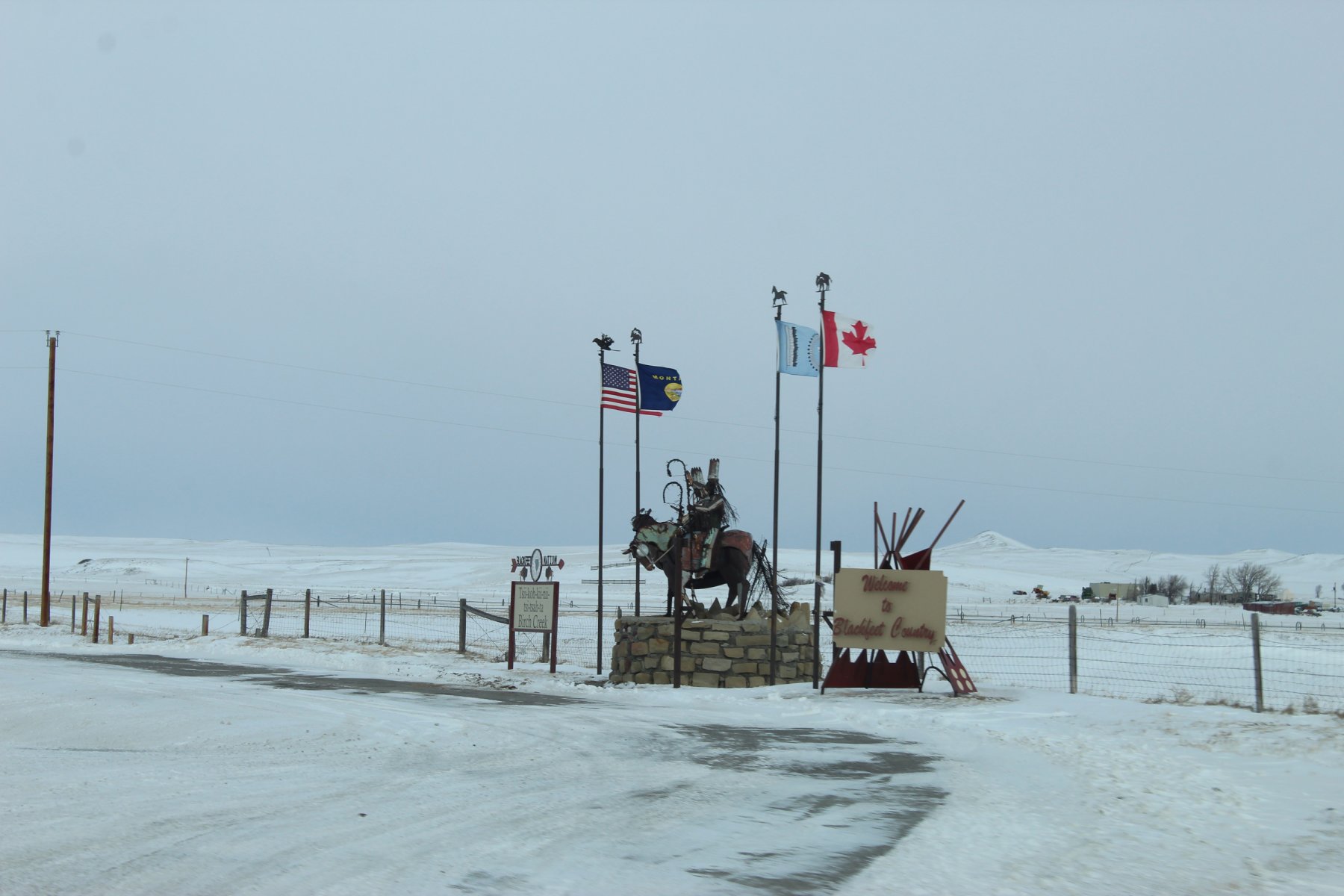
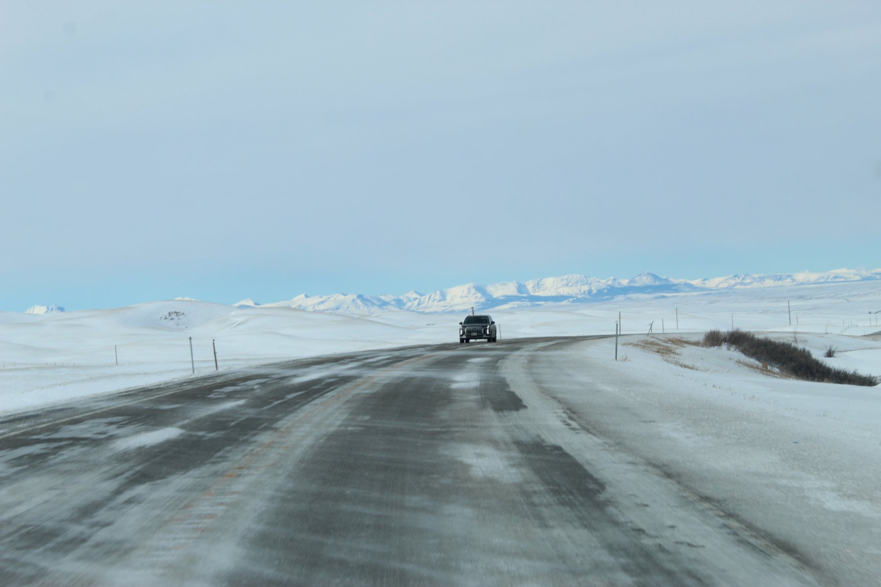
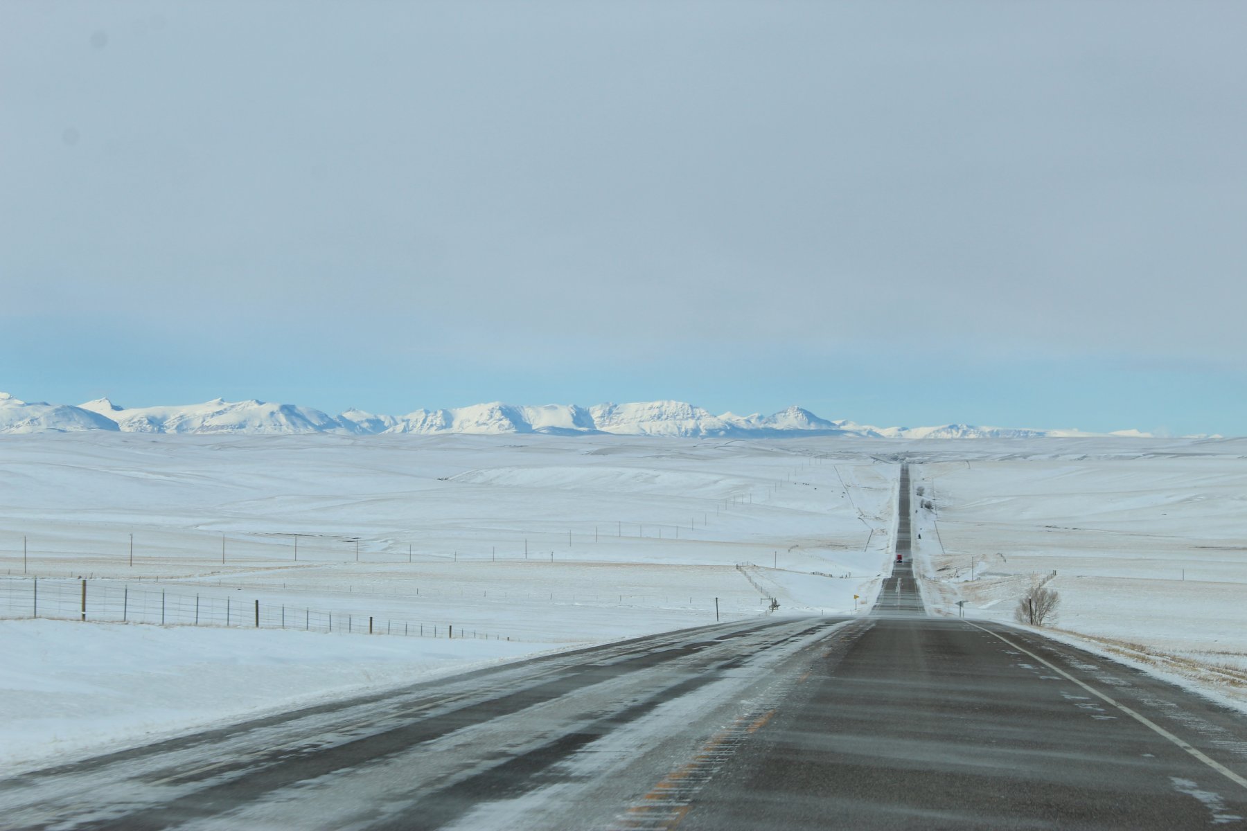
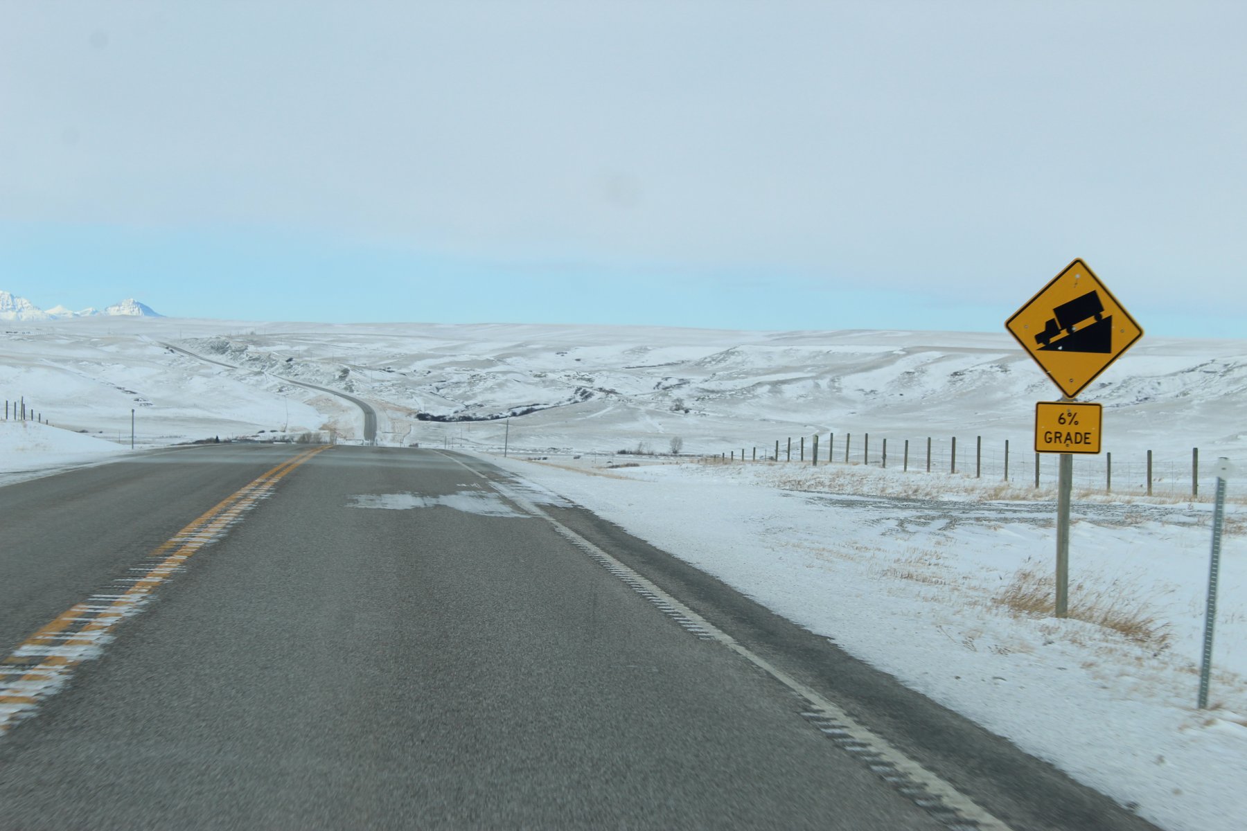
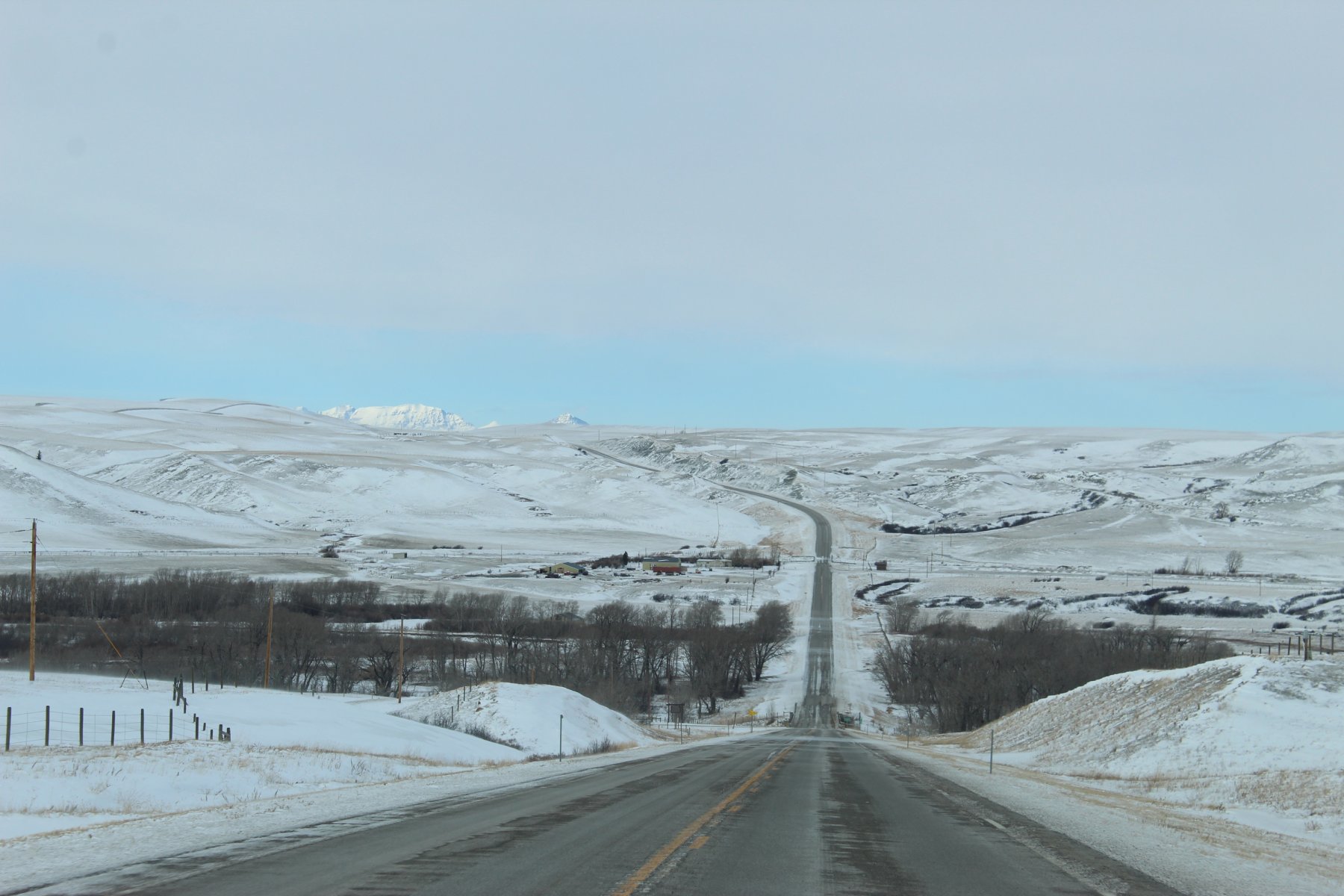
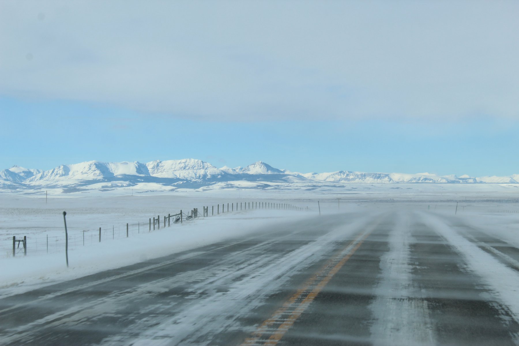
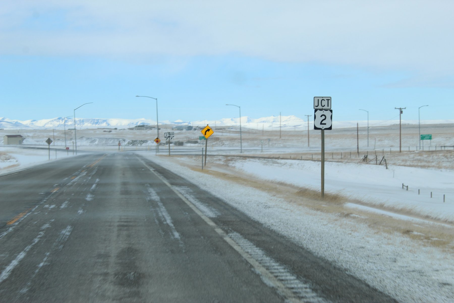
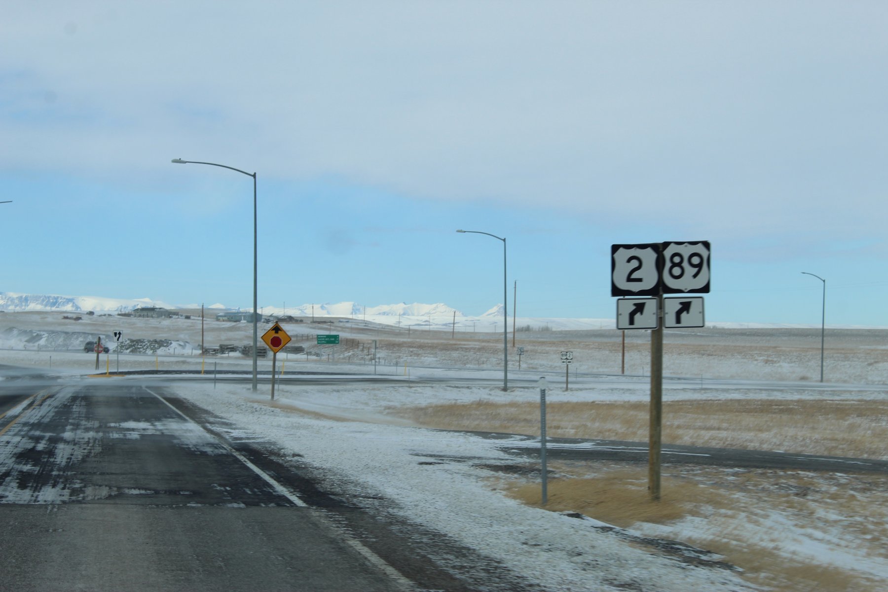
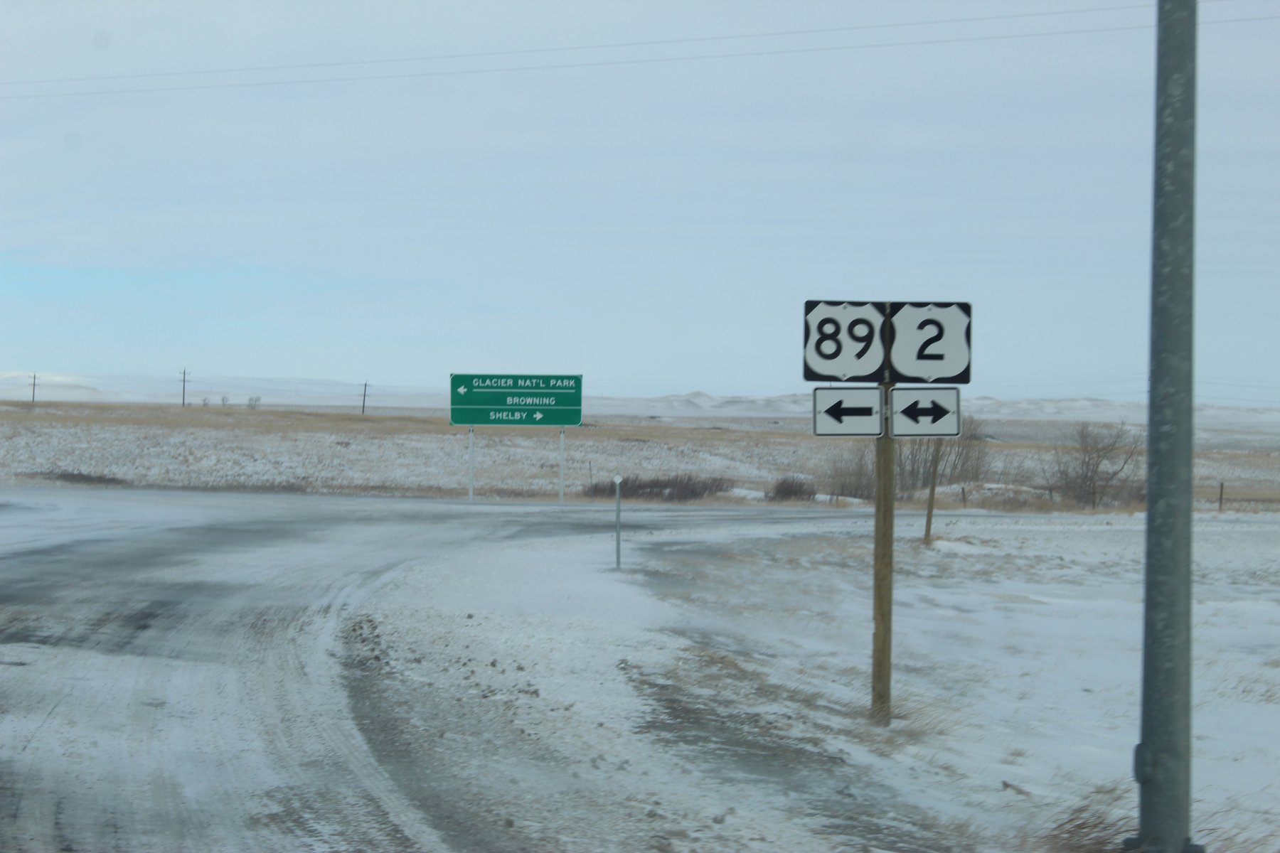
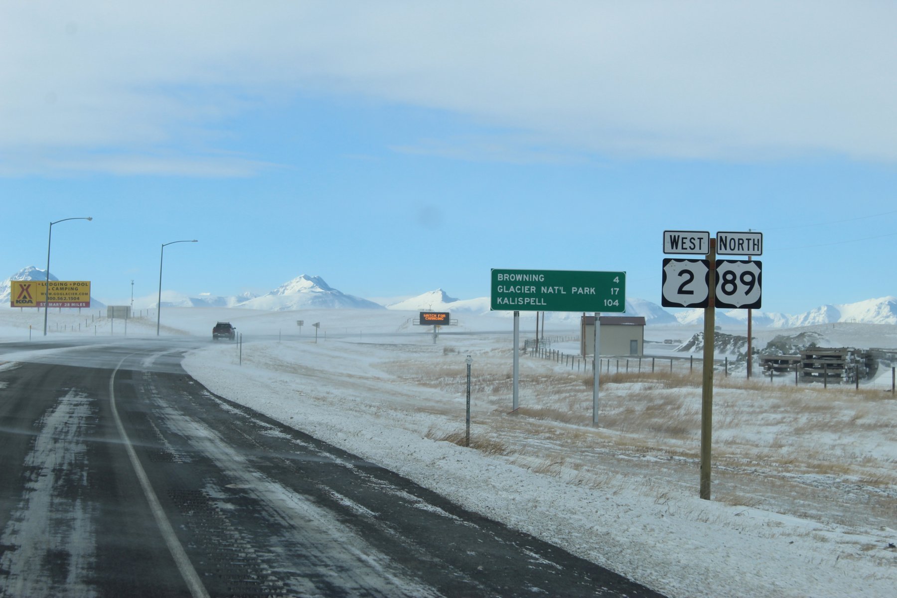
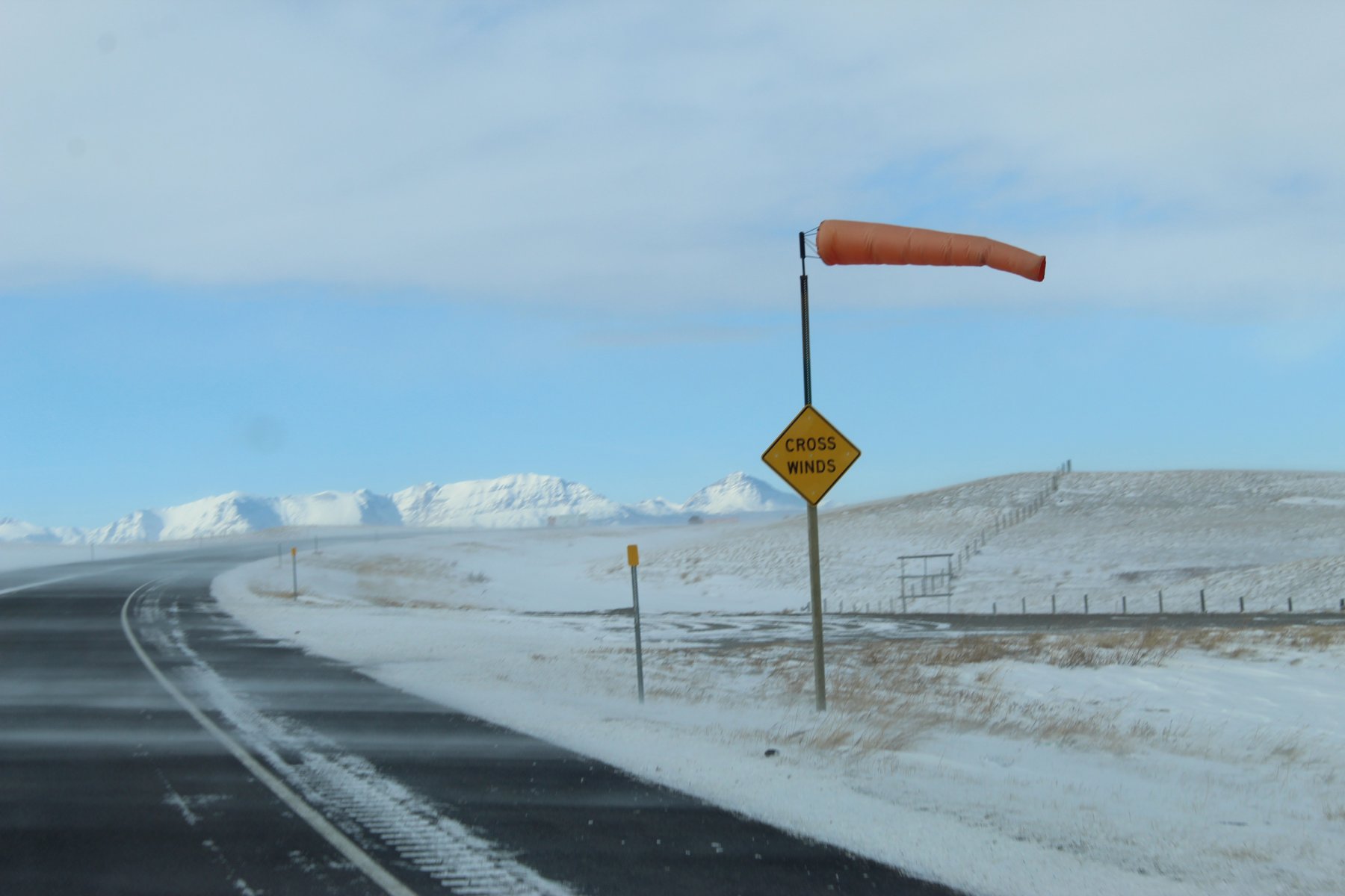
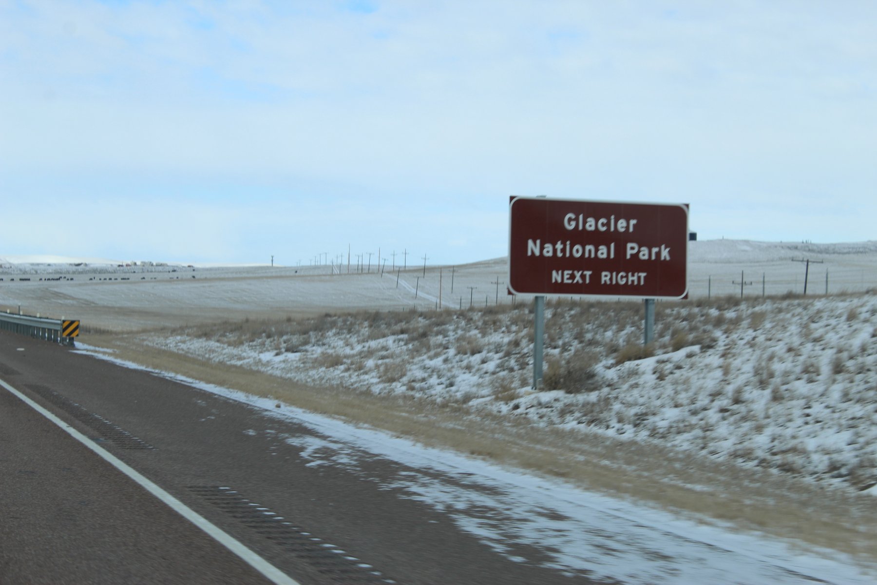
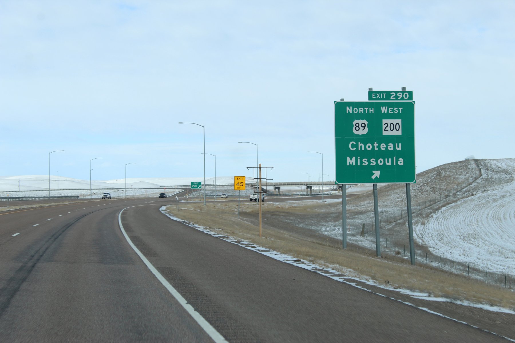
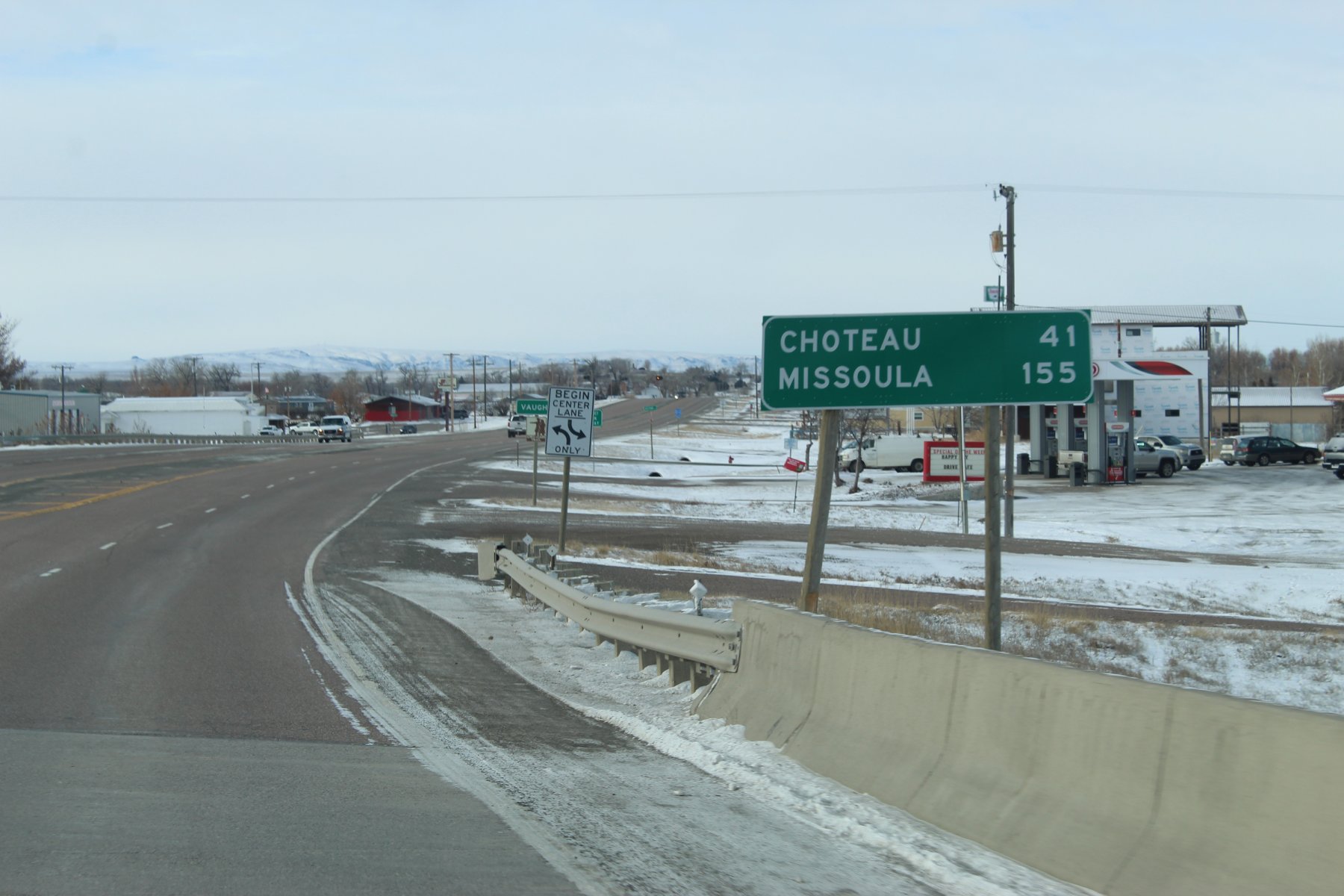
Day 9: heading north to explore Glacier National Park and the Canadian border
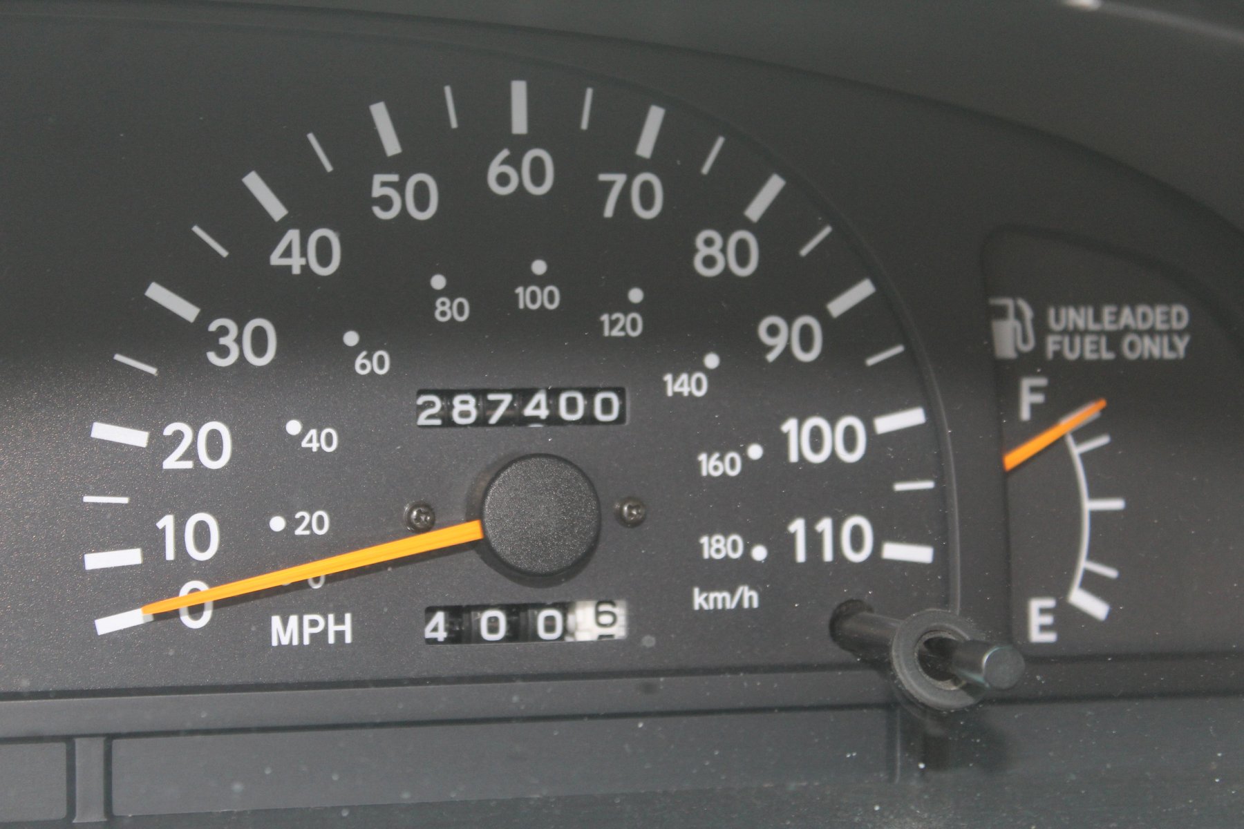
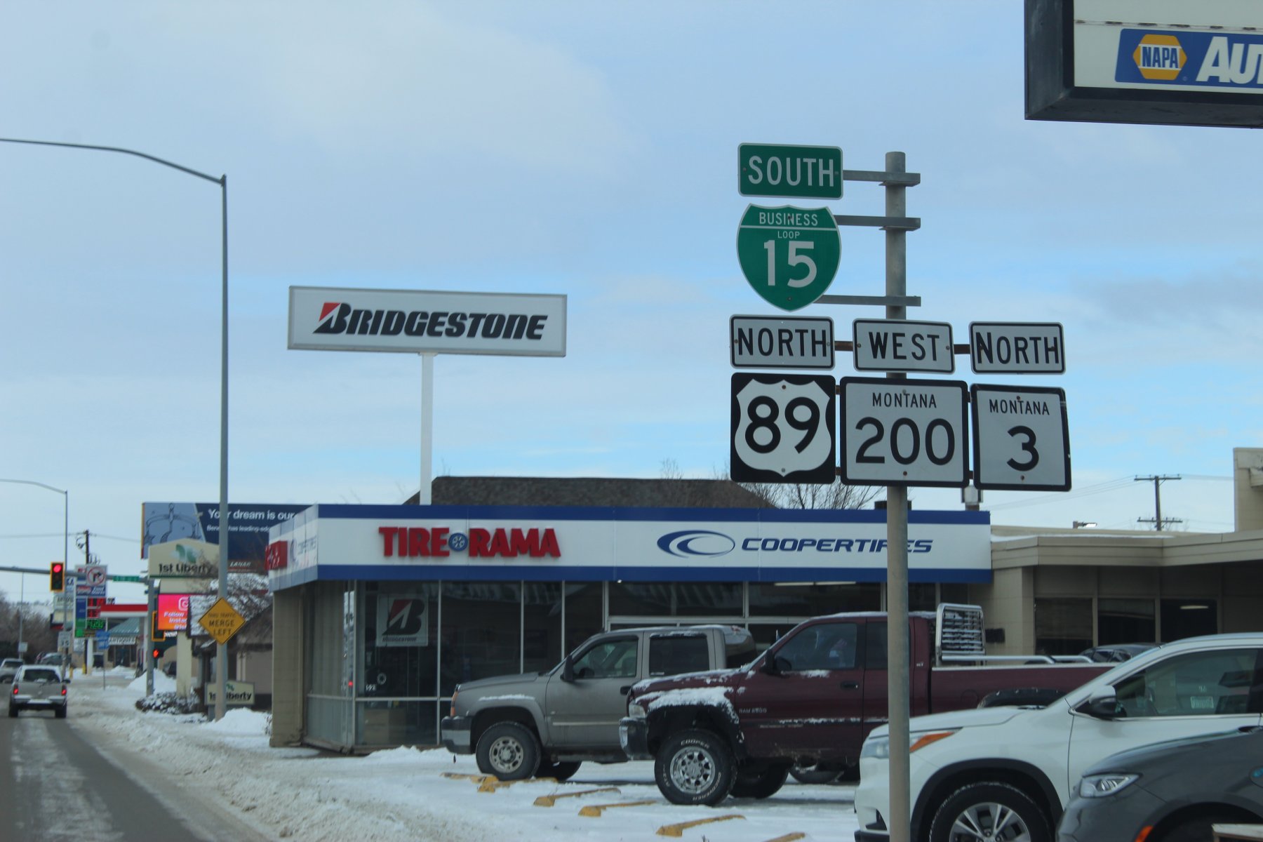
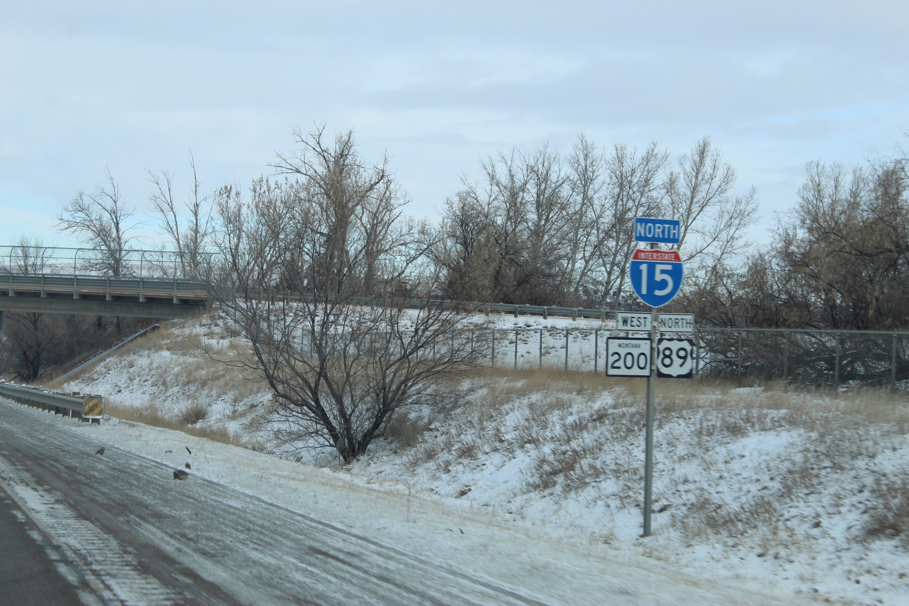
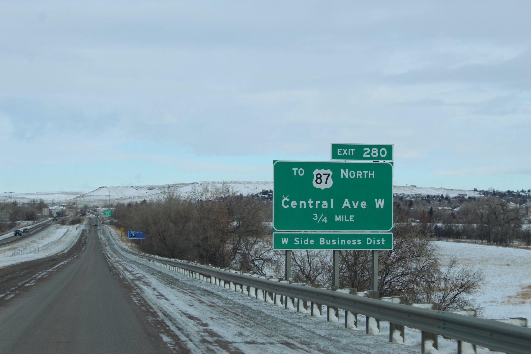
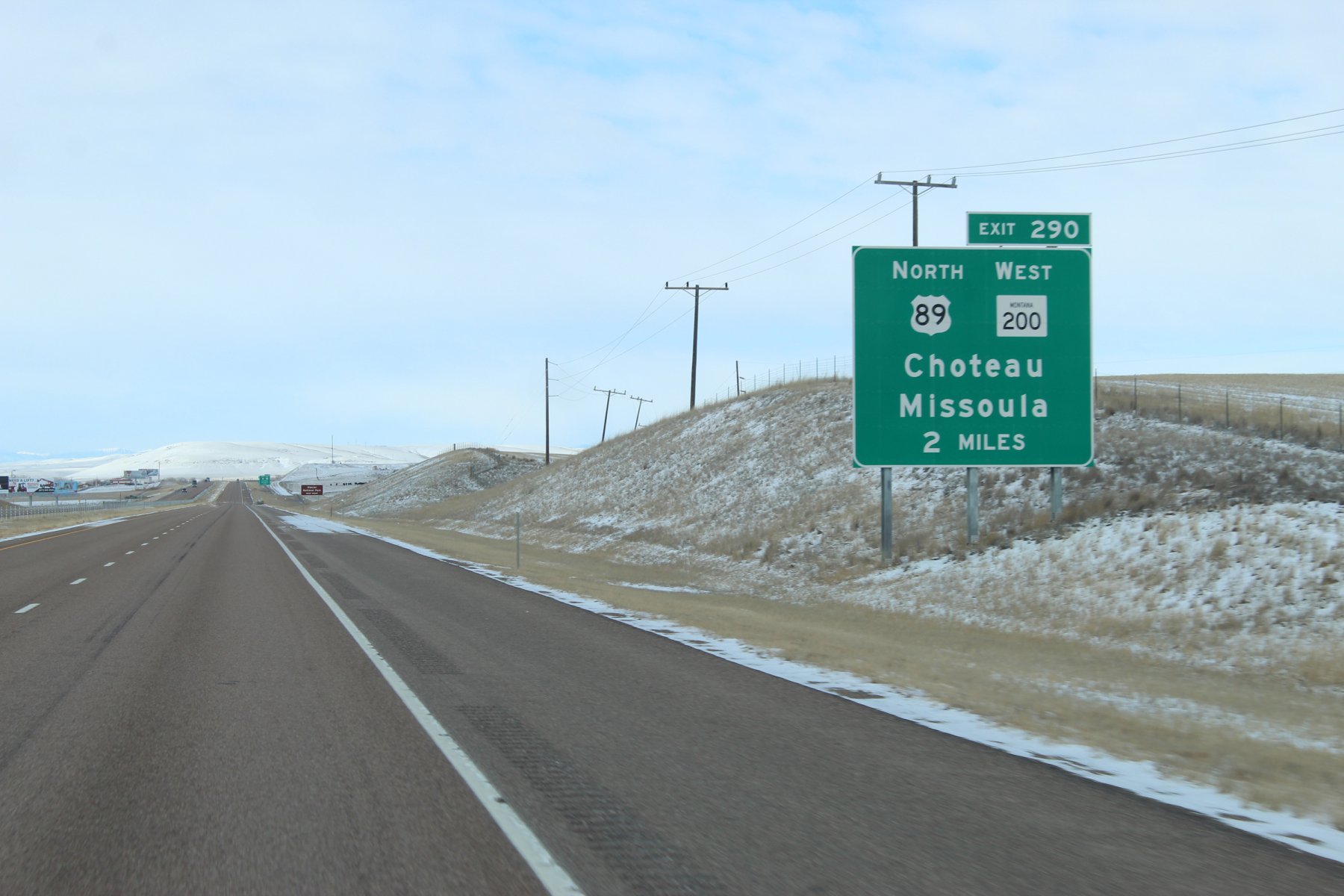
heading north to the GNP and the Canadian border...
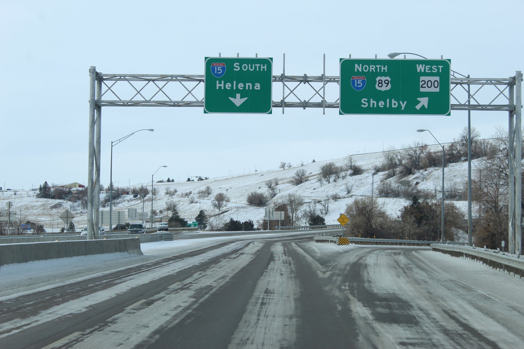
stayin' two nights here in Great Falls
838 miles wheeled yesterday, mostly in Wyoming on treacherous icy-slick snow-packed roads
arrived in Great Falls at about 2am after nearly a 17 hour drive yesterday
it was 15 below zero with some harsh wind...
4579 mile treK so far.
Day 9: heading north to explore Glacier National Park and the Canadian border


heading north to the GNP and the Canadian border...


Last edited:


